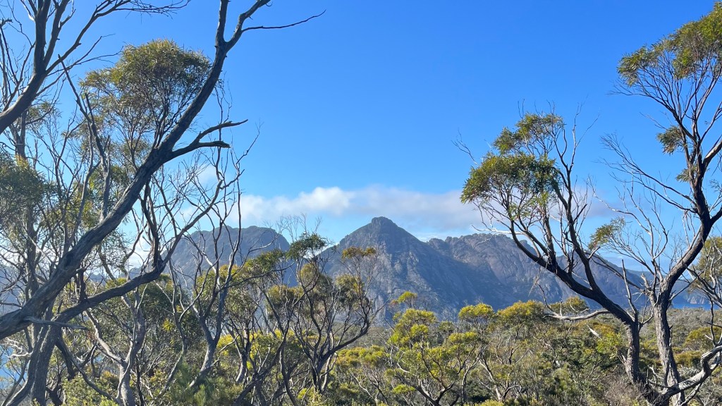
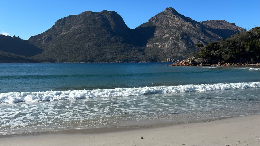
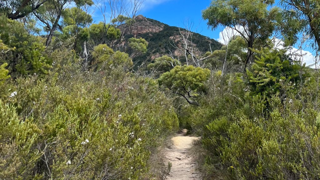
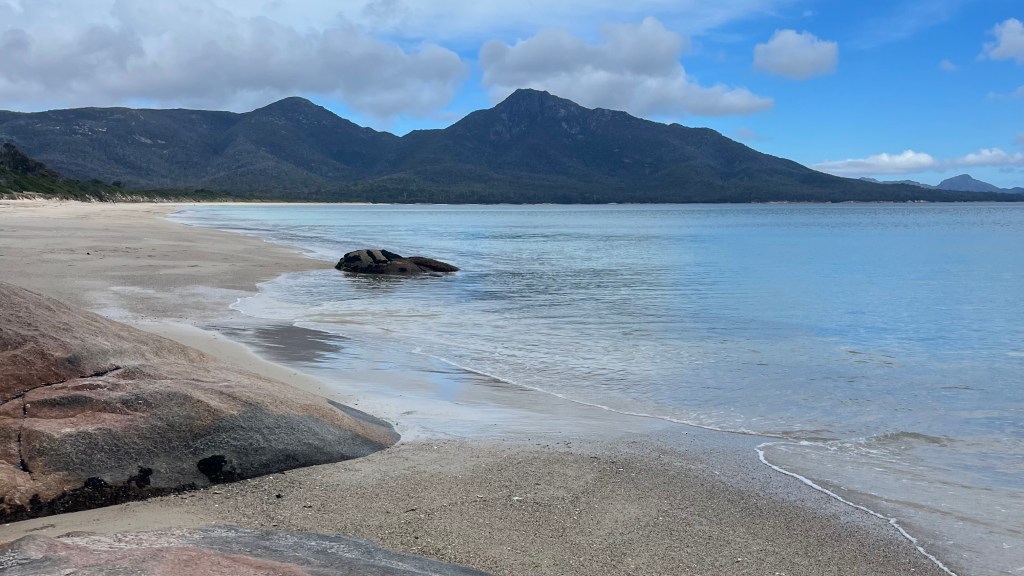
Stunning coastal scenery packed into a compact, accessible route: the Freycinet Peninsula Circuit on Tasmania’s east coast is an absolute gem. A 27km loop takes you through rugged bush, along white sand beaches and over granite peaks, all without the crowds of Tasmania’s more well-known trails.
I thru-hiked the trail in January 2023. For a closer look at the on-the-ground experience, head over to my Freycinet Peninsula Circuit: Trail Journal post.
- Quick Facts
- Map & Elevation Profile
- Preparation
- On-Trail Practicalities
- Side Missions & Connecting Trails
- Hiking as a Solo Woman
- Want More?
Quick Facts
| Distance | 27 km |
| Elevation gain | 900 m |
| Days to complete | 2-3 |
| Best season | Spring to Autumn |
| Trailheads | Freycinet Visitor Centre |
| Recommended direction | Anti-clockwise |
Map & Elevation Profile
Preparation
Trailheads & getting there
The trail is accessed from the Freycinet Visitor Centre, just outside the town of Coles Bay. It can be reached by car from Hobart and Launceston; public buses are also available but take considerably longer and are less convenient.
Direction to Walk
Tasmania Parks & Wildlife Service asks that the trail be walked anti-clockwise, to minimise the further spread of root rot.
Season to Walk
This trail can be walked year-round, but the best time to enjoy the beautiful beaches and coastal scenery is between Spring and Autumn.
Park Entry Fee
There’s no permit required for this trail, but don’t forget to pay the National Park entry fee at the visitor centre.
Accommodation: Camping
This trail must be camped (unless you’re fit enough to complete it in a day), staying in designated campsites. There are no other accommodation options. Wild camping is not permitted.
Gear List
Best to stick to the guidance of Tasmania Parks & Wildlife, who’ve put together this handy packing list.
Possible Stages
| Place | Distance from previous (km) | Water source | Toilets |
|---|---|---|---|
| Freycinet Visitor Centre Carpark | 0 | Yes – tap | Yes |
| Hazards Beach campsite | 7 | Yes – Lagunta Creek (unreliable) | Yes – long-drop |
| Cooks Beach campsite | 5 | Yes – water tank (unreliable) | Yes – long-drop |
| Wineglass Bay campsite | 11 | No | Yes – long-drop |
| Freycinet Visitor Centre Carpark | 4 | Yes – tap | Yes |
On-Trail Practicalities
Finding Your Way
Trail Markings
There’s only one trail, so it’s pretty difficult to get lost. The trail is largely unmarked, but there are a few signposts at key turn-offs.
Maps & GPX
Collect a paper map from the Visitor Centre when you arrive. If you prefer an app, look into adding a GPX file like this one from Trail Hiking Australia.
Guidebooks & Resources
There’s no dedicated guidebook for this trail, but it will be found in some Tasmanian hiking guides along with other tracks.
Parks & Wildlife publishes walking notes on their website, which are more than enough to help you complete the trail.
Food & Water
You’ll need to be self-sufficient on this trail: bring all your food with you. You can stock up at the supermarket in Coles Bay if needed.
Water on trail is scarce; natural sources may be dry, and although there is a water tank at Cooks Beach hut it may be empty depending on time of year and recent rainfall. If you’re staying overnight at Wineglass Bay, you’ll need to carry your water from Cooks Beach: 3L per day, especially if cooking, is a good rule of thumb.
On-Trail Transport
There are zero on-trail transport options on this trail: you’ll need to arrive and leave under your own steam.
Money Matters
No need for cash or card on this trail, as there’s nothing to purchase! Card and cash accepted at the visitor centre.
Side Missions & Connecting Trails
There are two on-trail side missions:
- a 3km return out-and-back to Bryan’s Corner, a popular boating spot, from Cooks Beach campsite
- a steep 1.5km return climb to summit Mount Freycinet, accessed between Cooks Beach and Wineglass Bay. This is well worth it for the stunning 360 degree views, particularly looking down on Wineglass Bay, but makes for a long day of walking
Hiking as a Solo Woman
This was my first ever self-guided multi-day hike: I brought a friend with me, as I was a bit nervous about going alone given there were no exit options and the water situation was unknown. We were completely fine: the trail was quiet, but there were a few other hikers and campers out and about who we exchanged friendly greetings with. Mobile service is rather limited, as the mountains get in the way of the signal. Overall, this trail was a great way to build confidence on a multi-day camping trail, and now that I am more confident I would happily repeat this trail solo.
Want More?
Check out my Freycinet Peninsula Circuit: Trail Journal for stories and snapshots from the trail.

Leave a comment