5 days, 151 kilometres, 2,470 metres of elevation gain. I section-hiked the trail in April 2025: here’s the journey, day-by-day.
Thinking about tackling the trail yourself? Check out my Ridgeway: How-To post.
The Stats
Trip Summary
- Start date: 18 April 2025
- Days hiked: 5
- End date: 27 April 2025
Distance & Elevation
- Total distance: 151.31 km
- Average distance/day: 30.26 km
- Total elevation gain & loss: + 2,469 m / -2,384 m
- Average elevation gain & loss / day: + 494 m / – 477 m
Time & Pace
- Total moving time: 29 h 35 m
- Average moving time / day: 5 h 55 m
- Average moving pace: 11:44/km; 5.1km/hr
Budget (ex gear)
| Category | Total (£) | Breakdown |
|---|---|---|
| Accommodation | 456.7 | Day 0 hotel (£112.10); Day 1 hotel (£129.6); Day 2 hotel (£100); Day 3 hotel (£115) |
| Food | 109.77 | Supermarket haul (£15.88); dinner Day 1 (£18); dinner Day 2 (£17.20); Watlington supermarket haul (£11.4); brunch Day 3 (£18.79); dinner Day 3 (£21.5); coffee Day 4 (£3.5); coffee Day 5 (£3.5) |
| On-trail transport | 72 | Train London to Swindon (£38.15); bus Swindon to Winterbourne Monkton (£3); bus Winterbourne Monkton to Avebury (£2.10); train Watlington to London (£5.45); Day 5 trains (£23.3) |
| TOTAL | £68.47 | Average / day: £127.69 |
Trail Journal
Day 1 – 18 April 2025: Avebury to Bishopstone
Distance: 33.38 km | Elevation gain: 538 m | Moving time: 6h 32m | Average pace: 11:45/km; 5.1km/hr
Grey skies, gold fields

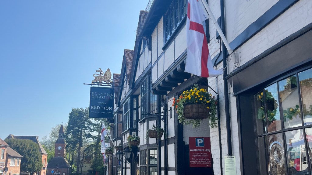
I woke up in the tiniest of villages, Winterbourne Monkton, which I’d commuted to after work yesterday in order to maximise my walking time over the Easter long weekend. Breakfast was included, and I immediately clocked another Aussie in the dining room: the accent is unmistakable. A quick chat confirmed we were both Ridgeway-bound today, and both set on catching the first bus to Avebury. We weren’t sure if there would be another.
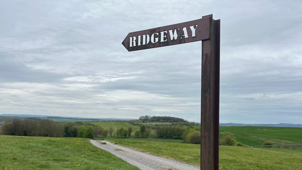
Arriving at Avebury, I realised I was slightly under-prepared. I had the trail downloaded, but not the path to get to the trailhead. Luckily my new friend let me tag along and we ambled across to Overton Hill, the official start of the trail but marked only by an understated directional arrow. We parted ways soon afterwards, each hiking our own hike.
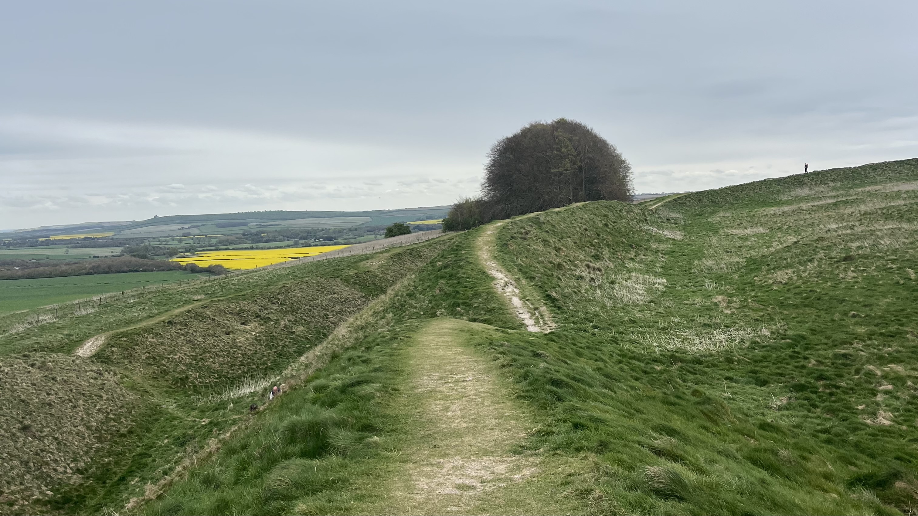
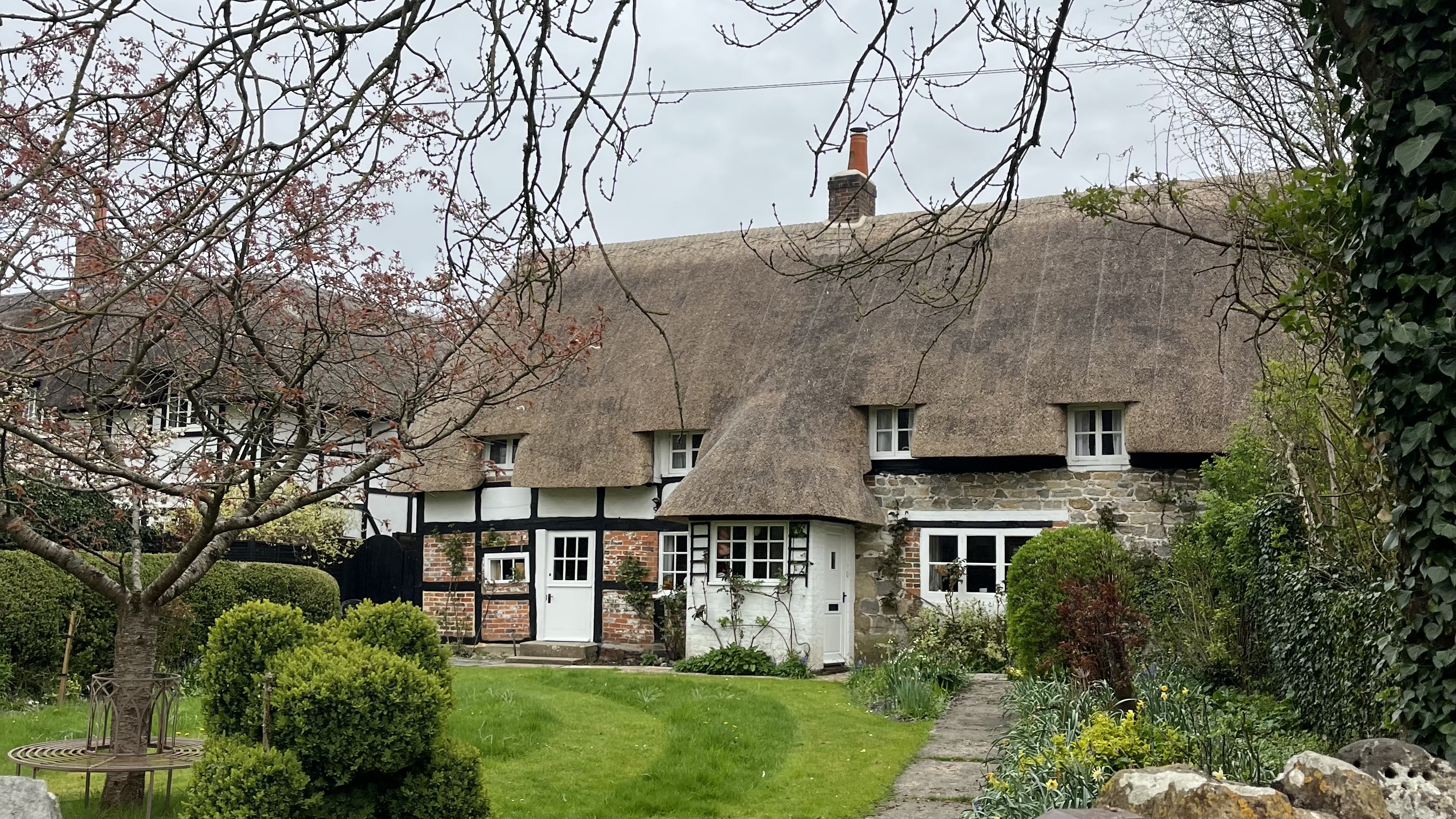
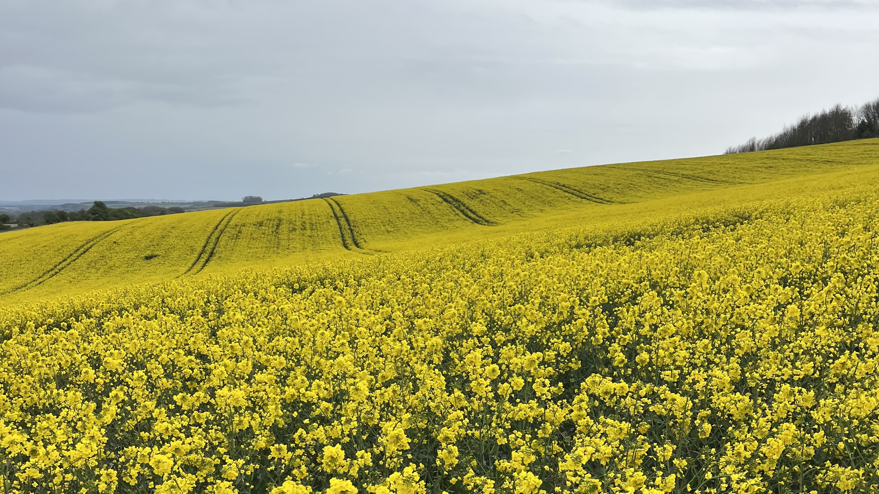
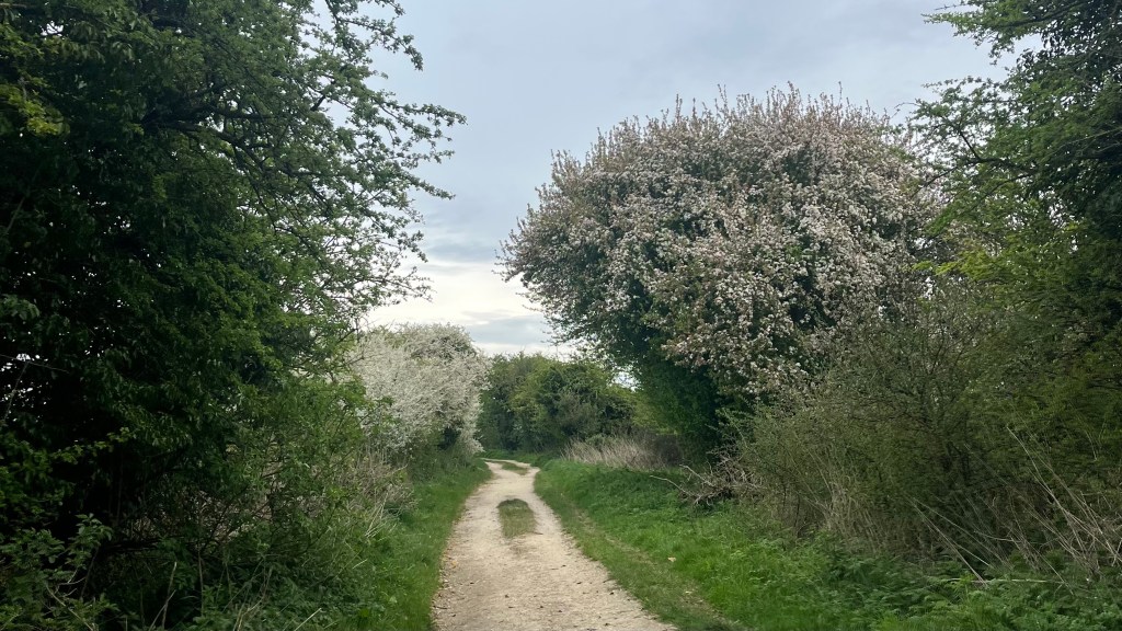
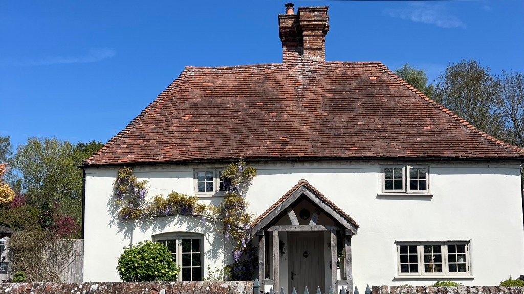
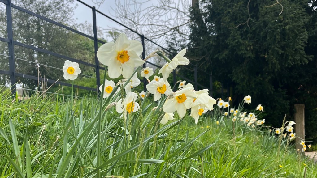
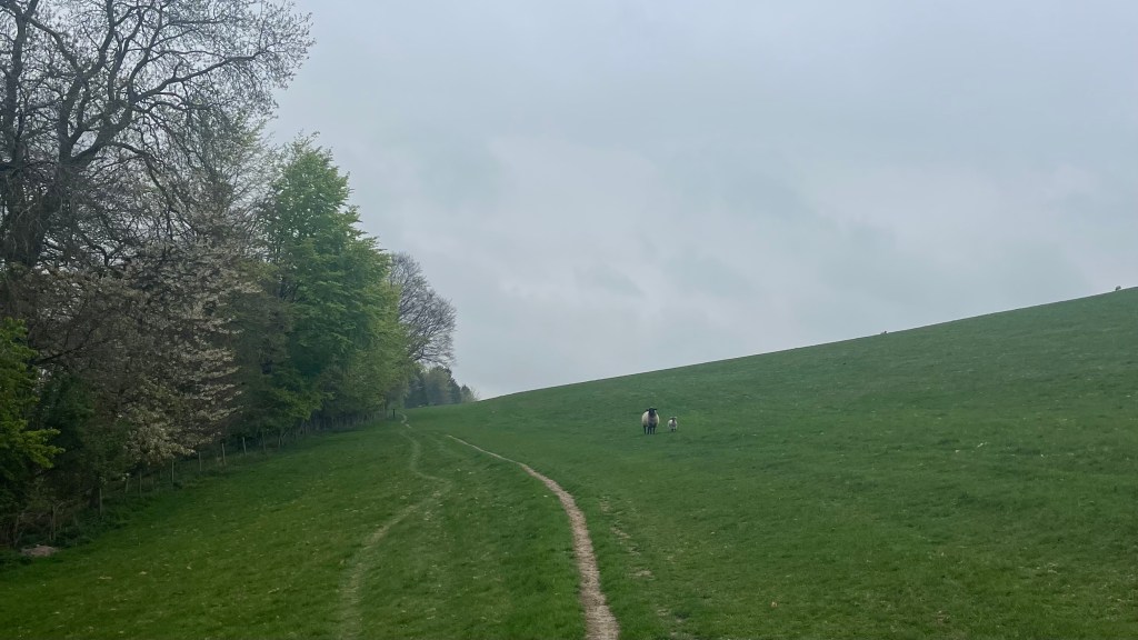
Fields of canola brightened the morning: bright slashes of yellow against the gloomy overcast sky. A corridor of white-blossomed trees soon lined the path, beckoning me onwards. Barbury Castle came next: only foundations remain, overgrown but obviously the work of humans and not part of the natural landscape. Villages on trail are rare, but the few that are passed through serve up delightful cottages that fuel fantasies of alternate lives.
More canola fields led me down into Bishopstone; technically off-trail, but the pub receptionist assured me that Ridgeway walkers are regulars. I refuelled at the cosy pub, and indulged in an early night.
Day 2 – 19 April 2025: Bishopstone to East Ilsley
Distance: 31.44 km | Elevation gain: 417 m | Moving time: 6h 1m | Average pace: 11:29/km; 5.2km/hr
Chalk chronicles
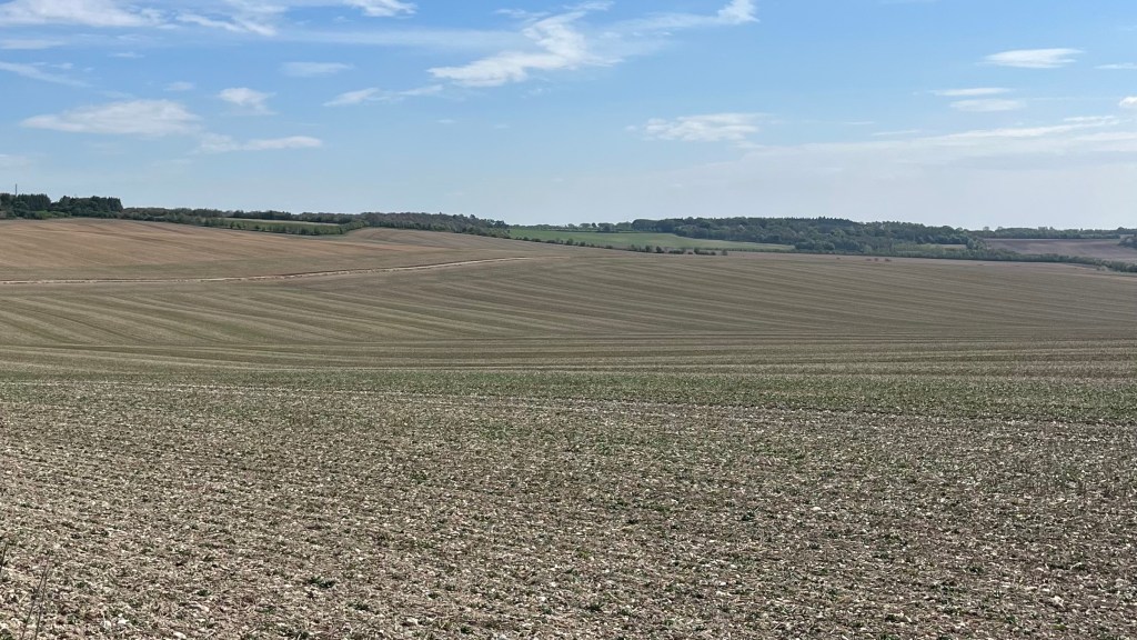

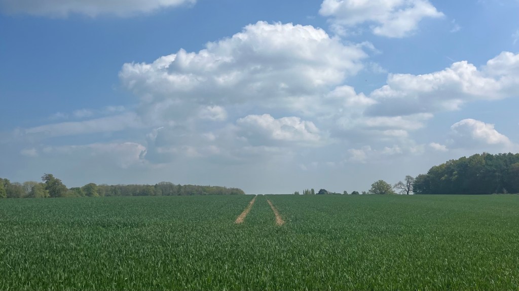
Today was all about settling into a rhythm. Grey skies loomed (again), and the warm-up was a short climb back to the Ridgeway proper. Once on top, the trail widened into what felt like a prehistoric highway: broad, white chalk paths underfoot, the kind of path that lets you know thousands of feet have passed this way for centuries.
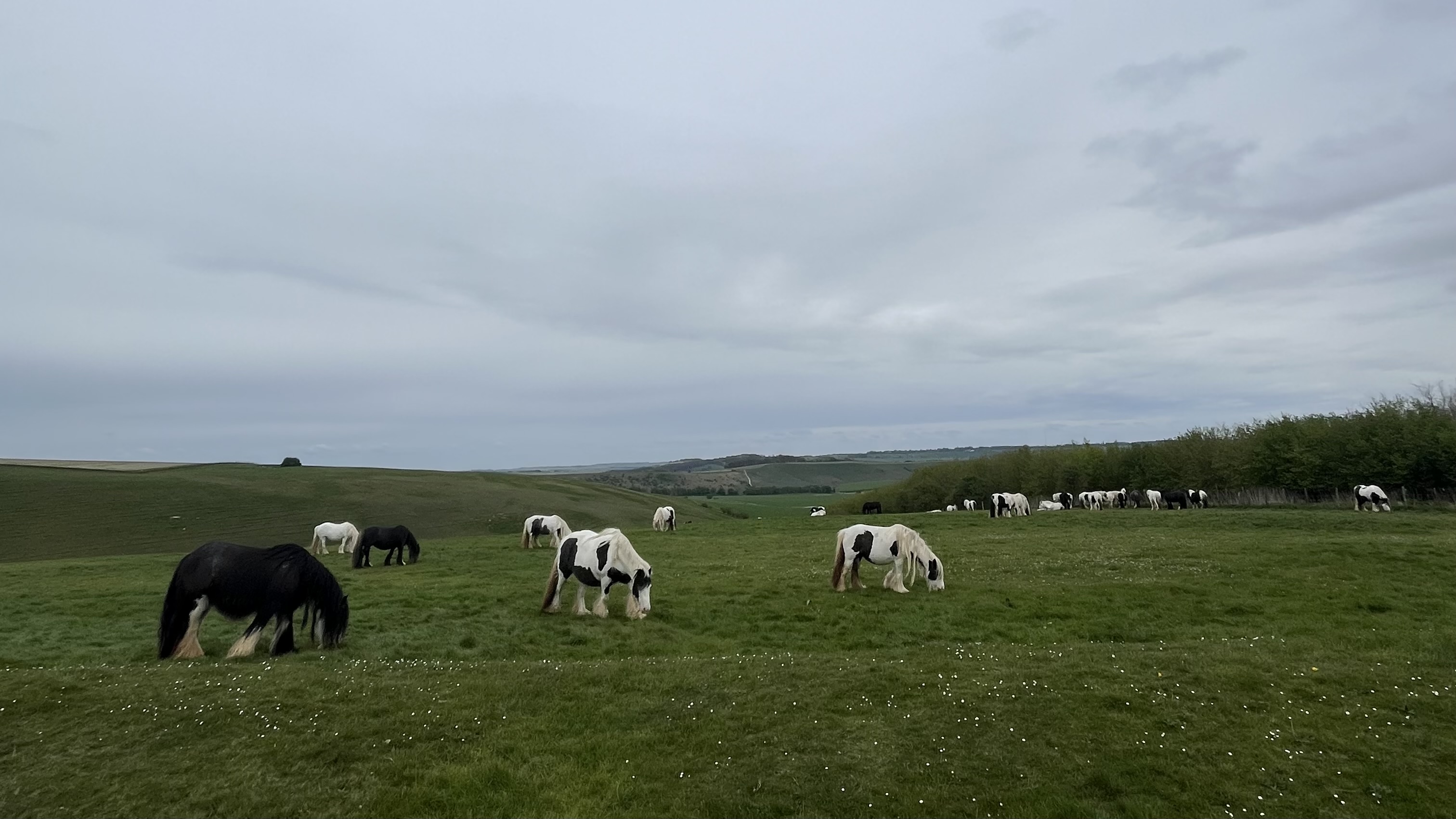
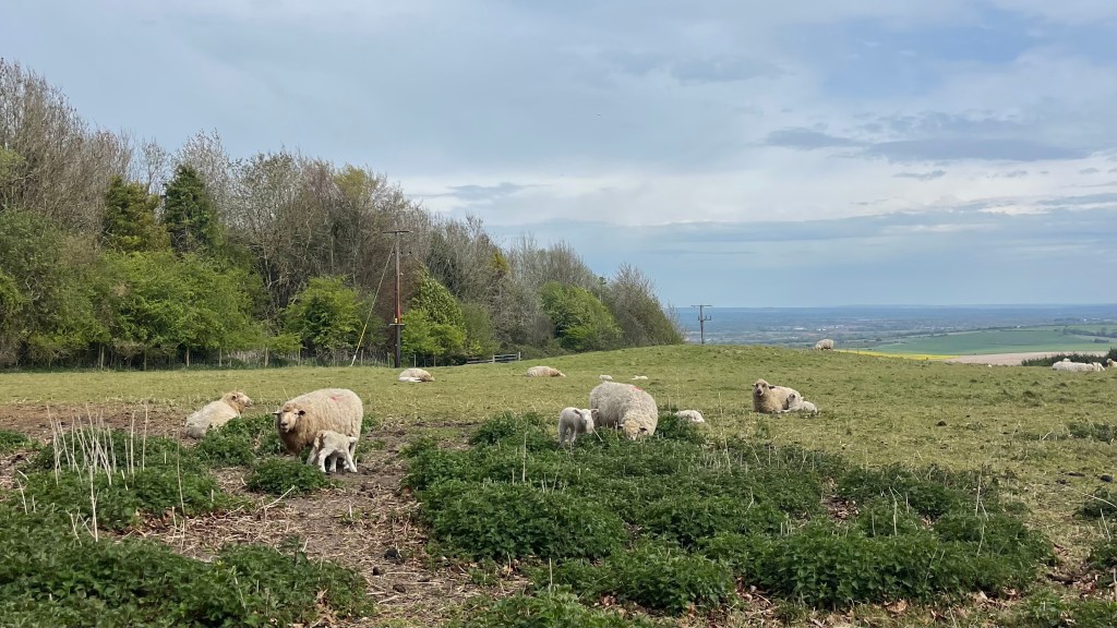
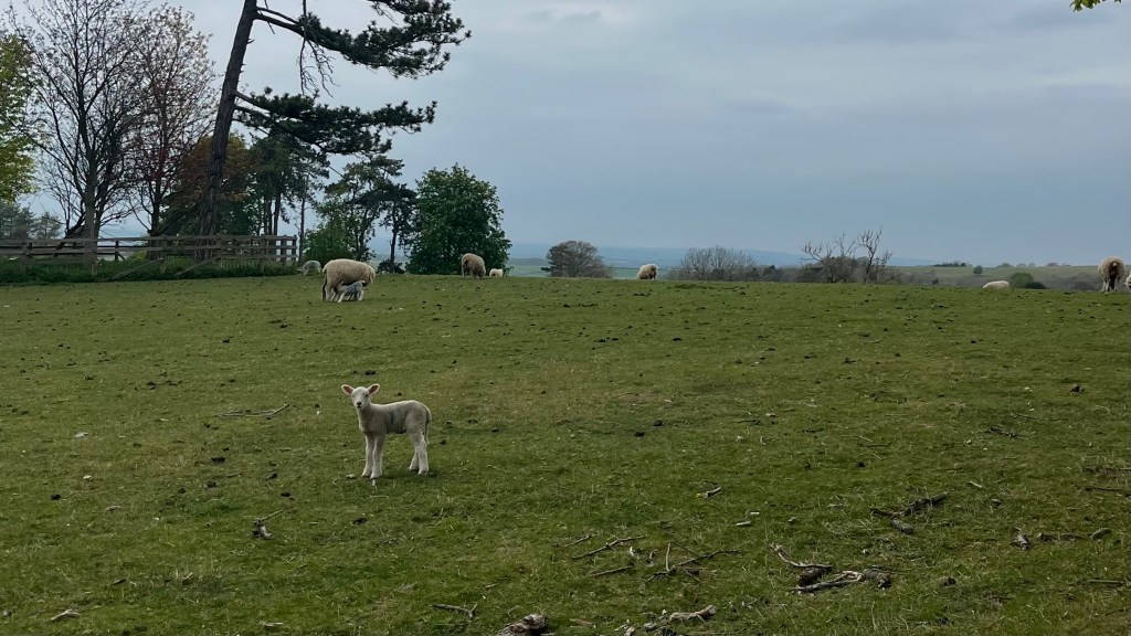
Midmorning, a sliver of blue appeared on the horizon. I tried not to get my hopes up, focussing my attention instead on a flock of sheep guarding their newborn lambs. How Easter-appropriate. But within an hour the sky committed; clouds dissolved, blue spread, and the fields suddenly appeared to be a brighter green, the canola more luminous. It’s amazing how quickly the landscape, and your mood, transforms when the sun shows up. The rest of the day felt like easy walking.
My accommodation for the night was once again slightly off-trail. To my disappointment, it was also significantly downhill. Nothing like ending the day with the sobering realisation that you’ll have to climb back up that hill first thing in the morning. I drowned out this mild injustice with a plate of homemade beetroot ravioli and a local beer at the pub, which did wonders for morale before I settled in for the night.
Day 3 – 20 April 2025: East Ilsley to Watlington
Distance: 38.22 km | Elevation gain: 577 m | Moving time: 7h 23m | Average pace: 11:36/km; 5.2km/hr
Countryside collage: field to forest
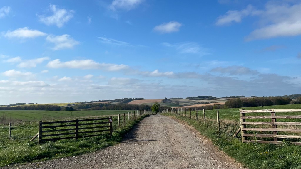
I woke knowing the first order of business was an uphill trudge back to the trail. After inhaling the help-yourself breakfast I set off into a brisk morning that guaranteed no risk of breaking a sweat. The incline, to my surprise, wasn’t all that bad. I soon connected with the trail, and had the wide landscape to myself for a few precious hours: open fields, big sky, the occasional disinterested farm animal. Then the trail dipped into an ancient forest: diversity at last!
The town of Streatley provided another diversification and a well-earned pit stop: coffee and a second breakfast of avocado toast and poached egg. From there the Ridgeway wound along the Thames for a patch, a welcome shift from the fields I’d grown used to, before ushering me through more small villages, where I crossed paths with several day hikers.
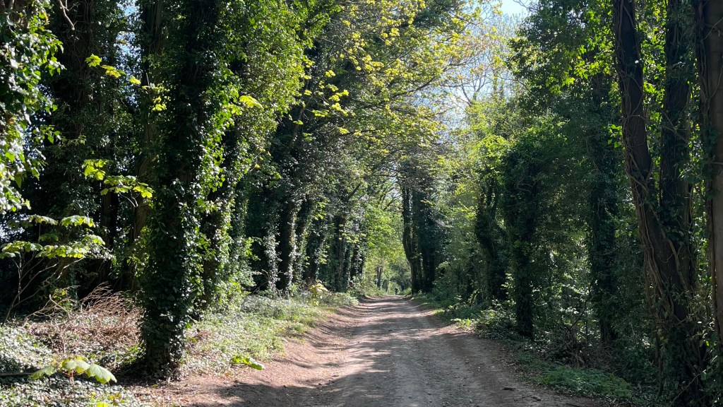
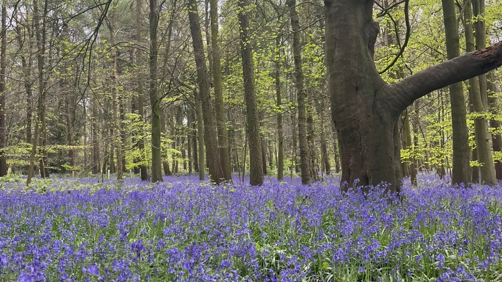
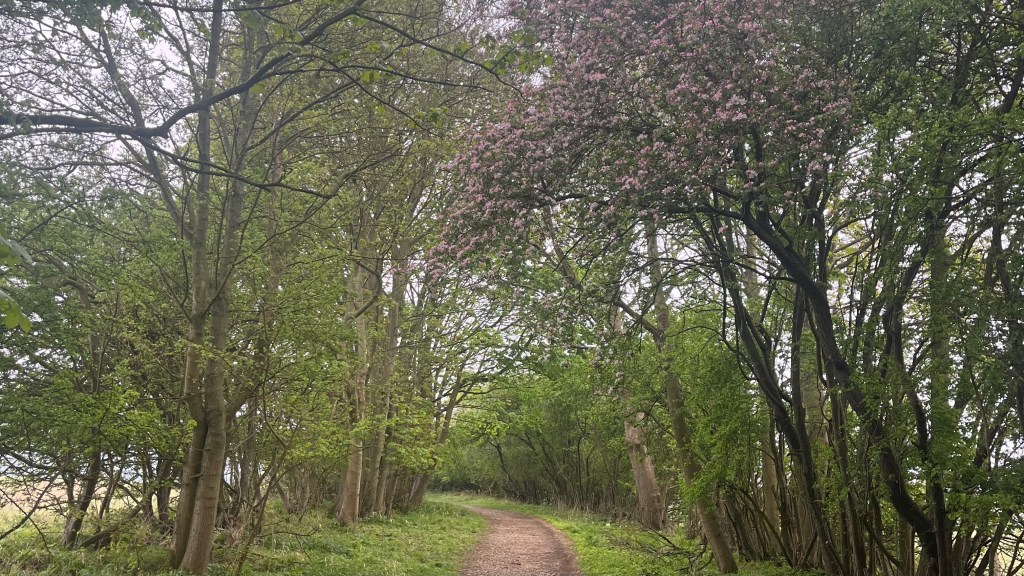
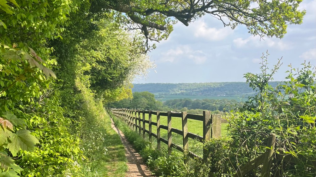
But soon it was just me again, as clouds muscled in to steal the sunshine. Grim’s Ditch seemed to live up to its name in vibes, even if it was a raised trail between fields. At least it delivered me to one of my favourite stretches of the Ridgeway: a forest of ancient trees and bluebells dancing lightly in the breeze felt like pure magic.
The final kilometres, however, dragged, especially once pavement got involved to carry me to Watlington which was once again off-trail. I arrived to discover the pub had closed after lunch; I solved this travesty by demolishing not one but two pizzas at a place I’d passed earlier before retiring for the night.
Day 4 – 21 April 2025: Watlington to Wendover
Distance: 28.8 km | Elevation gain: 543 m | Moving time: 5h 53m | Average pace: 12:16/km; 4.9km/hr
Rain & resignation
I woke to yet another grey English morning. You’d think I’d be used to this after almost a year and a half in London. Maybe it’s that I’ve only recently got back from a visit to Australia, where the weather is much more conducive to outdoor exploits.
I set off early with the slightly unhinged ambition of finishing the entire trail in a single massive push. The legs were willing; the question marks were the weather and anything else the trail decided to throw at me.
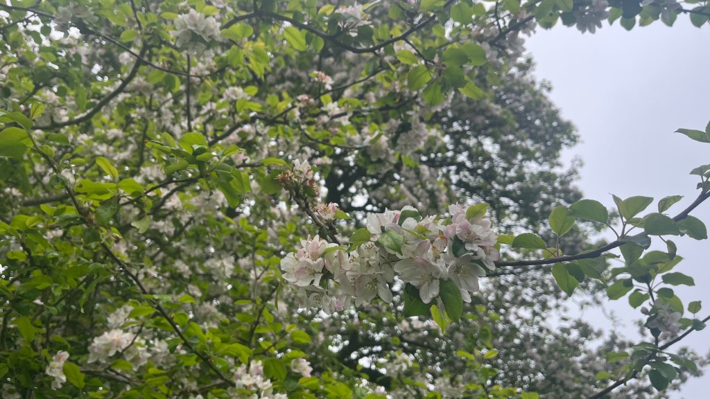
Apple trees were today’s designated path-liners, their blossoms a lovely focal point against the moody sky. A light drizzle began, the kind that doesn’t quite justify a rain jacket. Until you try to stop for a snack. On Coombe Hill the wind arrived and the rain began in earnest; fat drops splattered and I scrambled for my waterproofs. Clearly a break was not in the cards, so I moved onwards as a massive bird of prey played in the updrafts.
The fantasy of finishing today faded well before Wendover came into sight. I was cold and tired, and ready to take my chances on better weather next weekend rather than slogging through a joyless final stretch.
In Wendover, I took the opportunity to warm up in a cafe, my hands wrapped around a coffee that it was absolutely too late in the day to be drinking, but essential for staying awake on the ride home.
Day 5 – 27 April 2025: Wendover to Ivinghoe Beacon
Distance: 19.47 km | Elevation gain: 394 m | Moving time: 3h 46m | Average pace: 11:35/km; 5.2km/hr
Beacon bound
I find early-morning public transport in the UK absolutely delightful: blissfully quiet, because the British fundamentally believe in sleeping in. Australians could never. I fully support the continuation of this cultural difference as I roll into Wendover on a bright Sunday morning.
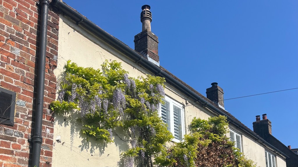
I wander down the high street at an amble, admiring pretty buildings and ducking into a cafe for a second coffee. There’s no rush today, with only 20km on the cards.
A leafy lane slips behind the churchyard and becomes a delightful local footpath through the village’s green space. The English do know how to do a good park. It delivers me to a little lake, and then spits me out onto a brief patch of road. Soon enough the countryside reasserts itself and I’m climbing gently.
Today’s terrain feels more varied than any of the other days. Yes, there are fields (this is southern England), but it dips through several sleepy villages, and winds through long stretches of forest.
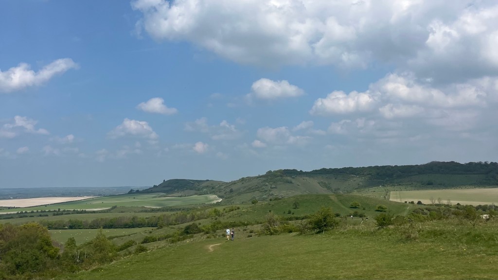
As I approach the Ashridge Estate, home to the official end of the trail, the foot traffic thickens. Day walkers, families and dogs are making the most of the spring sunshine. I’ve walked the Ashridge Boundary Trail before, so the second Ivinghoe Beacon appears on the horizon, I know the end of the trail is near.
Of course, it’s one of those summits that looks closer than it really is. A handful of short, steep climbs must be conquered, but eventually I join the bustle at the trig point. It’s too busy to bother with a photo, so instead I lay on the grass and soak in the sunshine and the views. Trail complete, Garmin stopped, it’s time for some bonus miles back to Tring station: I bribe myself with a stop at the National Trust cafe on the way. A suitably English end to a classic English trail.
Want More?
Curious about the practical side of the trail? Check out my Ridgeway: How-To post for route info and planning tips.

Leave a comment