2 days, 85 kilometres, 1,950 metres of elevation gain. I section-hiked the trail in November 2025: here’s the journey, day-by-day.
Thinking about tackling the trail yourself? Check out my Bondi to Manly Walk: How-To post.
The Stats
Trip Summary
- Start date: 12 November 2025
- Days hiked: 2
- Zero days: 0
- Total days (hiked + zero): 2
- End date: 13 November 2025
Distance & Elevation
- Total distance: 84.67
- Average distance/day (hiking days only): 42.43 km
- Average distance/day (including zeros): 42.34 km
- Total elevation gain & loss: + 1,948 m / – 1,668 m
- Average elevation gain & loss / day (ex zeros): + 974 m / – 834 m
Time & Pace*
- Total moving time*: 17 h 43 m
- Total walking time: 15 hr 43 m
- Average moving time / day (hiking days only): 7 hr 51 m
- Average moving pace: 13:11/km; 4.54km/hr
* I jogged the first 13.25 kilometres, so I’ve split out my total time (which includes the jogging) and my total walking time. The averages are of walking time only.
Budget (ex gear)
I don’t think it’s useful to include a budget breakdown for this walk, as it can be done for next to nothing if you’re a Sydney local or able to stay with family or friends. If you’re not, your accommodation costs will depend on your travel style: everything from hostels to five star hotels is possible (except camping). Food costs will similarly depend on your personal preference: you can bring everything from home, or eat out along the way. All public transport is on the Opal network: this is calculated by the distance travelled and whether you switch modes (eg from train to bus).
Trail Journal
Why the Bondi to Manly Walk?
This isn’t my first time on the Bondi to Manly. I lived in Sydney for 10 years before moving overseas, and in that time I section-hiked it over a long weekend during a brief respite between pandemic lockdowns. Sections of the trail also became my training ground as I prepared for the Camino, my first really long-distance trail.
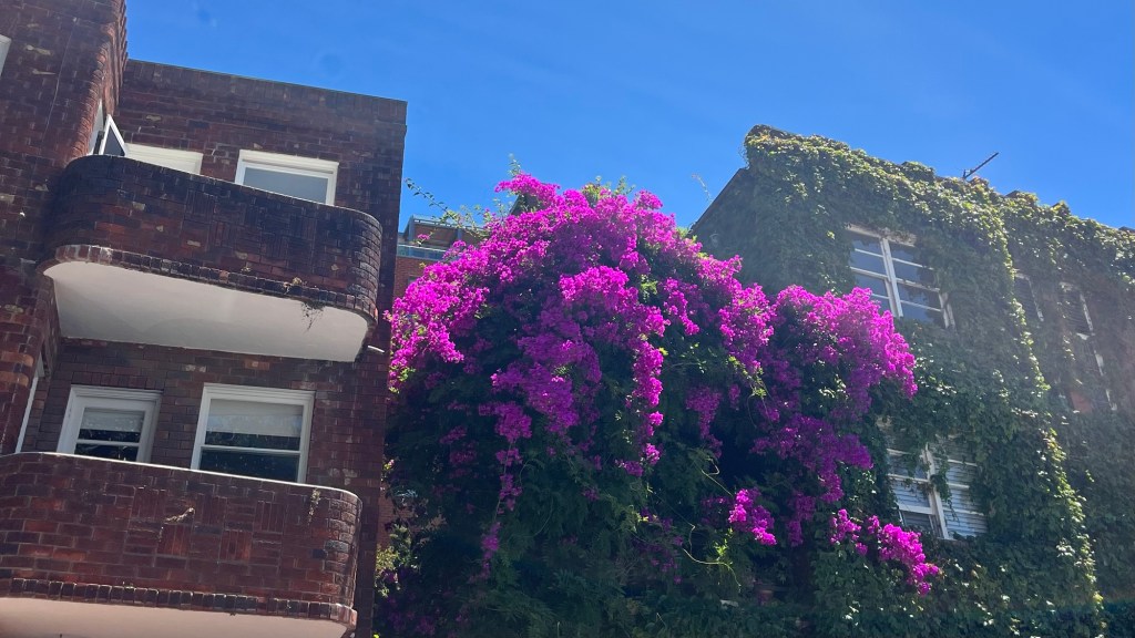
This week, I’m visiting friends and family in Sydney, but they’re all at work from 9-5. So what better way reacquaint myself with the city and spend my time in the beautiful late spring weather than by revisiting my old stomping grounds.
Day 1 – 12 November 2025: Bondi Beach to Kirribilli
Distance: 38.13 km | Elevation gain: 902 m | Moving time*: 7 h 1 m | Average pace*: 11:03/km; 5.43km/hr
* I jogged the first 13.25km, so if you’re using these numbers to estimate how long the walk will take you, factor that in. My average walking pace was 12:09/km or 4.94km/hr.
Coast, climbs and city skylines

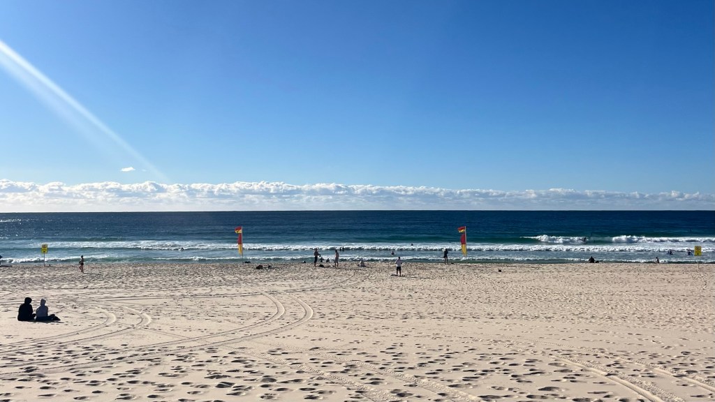
I reach Bondi Beach just after 7.30am and it’s already alive with runners, walkers, surfers, swimmers and sun-chasers. The sand is patterned with footprints and the clear water shifts from vibrant turquoise to deep, foaming blue.
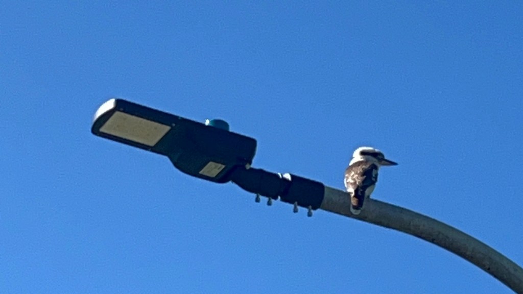
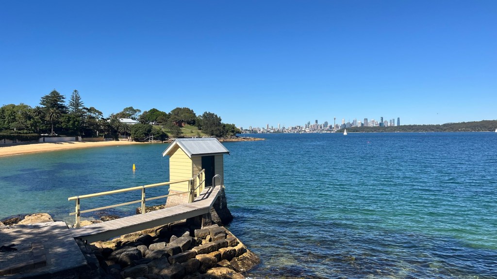
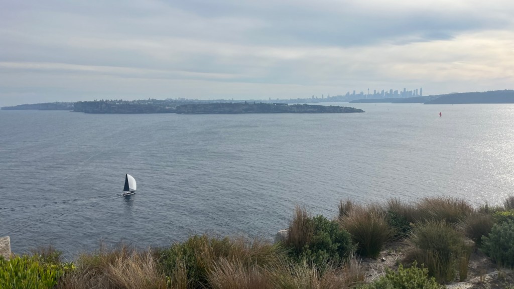
My plan was to run the first 10km: a commitment I abandon almost immediately. Every bend reveals a new perspective on this stunning coastline, practically demanding its own photo stop. It’s definitely not because I forgot how hilly Sydney is and have to adopt the trail running ethos of “power hiking” the many inclines. Two hours later I’ve covered 13km to Watsons Bay, barely faster than walking. I blame the first glimpse of the city skyline from Dudley Page Reserve, the cliffs of South Head, a kookaburra perched on a lamppost, and the generally gorgeous morning which makes everything look incredible.
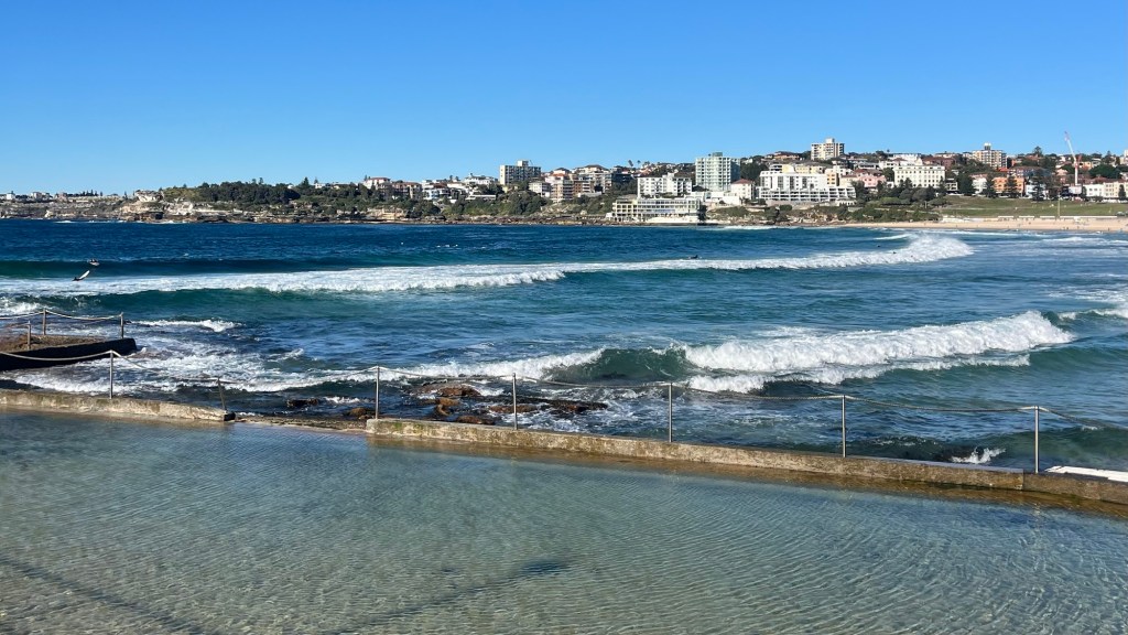
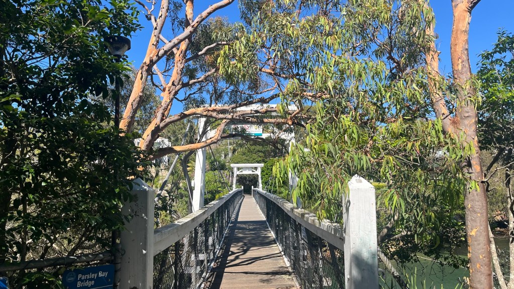
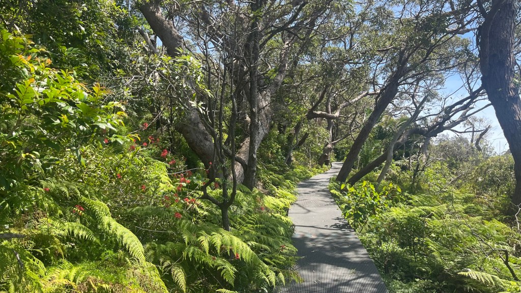
By Gibson’s Bay the lingering overuse injury in my knee begins to flare up, so I switch to walking for the rest of the day. The section along the Hermitage Foreshore Walk is peaceful, tree-lined with enough cover to feel tucked away but never long enough to lose the sweeping Harbour views.
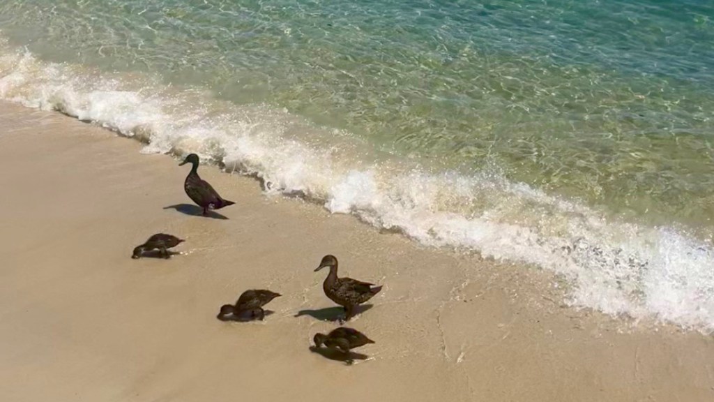
All too soon I emerge into suburbia, winding along pavements through some of Sydney’s richest suburbs: Rose Bay, Double Bay, Darling Point and Potts Point come and go in quick succession. At Rushcutters Bay a family of ducks foraging for lunch decimates my pace; not long after, a dog supervises the street from the passenger seat of a truck, pointedly looking away when I say hello.
From Farm Cove onwards the pedestrian volume surges: tourists chasing an iconic Opera House + Harbour Bridge shot, office workers on lunchtime outings. I follow closely behind a fast walker to squeeze through the bottleneck at Circular Quay before the crowds ease up near the cruise terminal.
Under the Harbour Bridge I detour briefly for a view of Luna Park before heading up and across the Bridge itself. The wind becomes a force to be reckoned with, great for cooling down, but an unnecessary bit of extra resistance towards the end of a long day. On the north side the gusts ease and I cruise down the Kirribilli stairs, pick up some robust snacks at Woolworths, and turn towards Blues Point where I’m spending the night.
Day 2 – 13 November 2025: Kirribilli to Manly Beach
Distance: 46.54 km | Elevation gain: 1,046 m | Moving time: 10 h 42 m | Average pace: 13:49/km; 4.34 km/hr
Bushland, bays and beaches
After fuelling with a flat white and huge banana bread I set off early to beat the heat: today’s forecast is 30 degrees, and last time I tried to walk in that weather I had to bail out. North Sydney is calm in the early morning, the sun sparkling and shimmering on the Harbour water and slowly illuminating the CBD buildings.
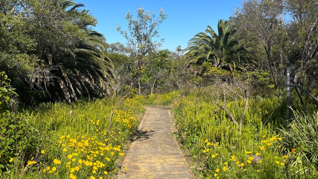
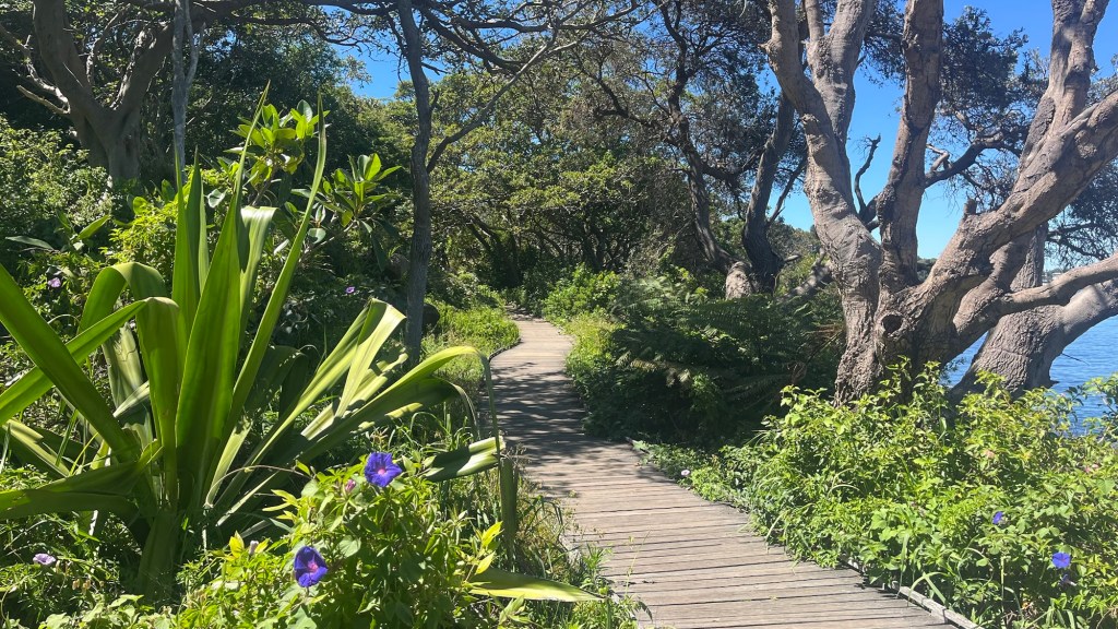
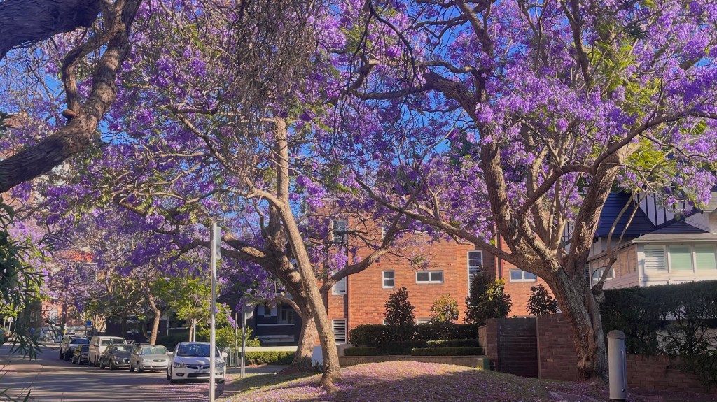
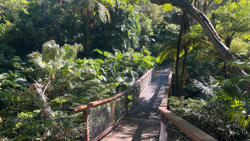
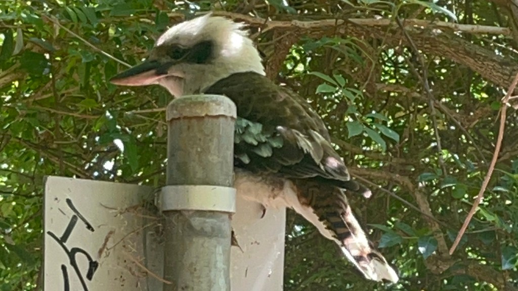
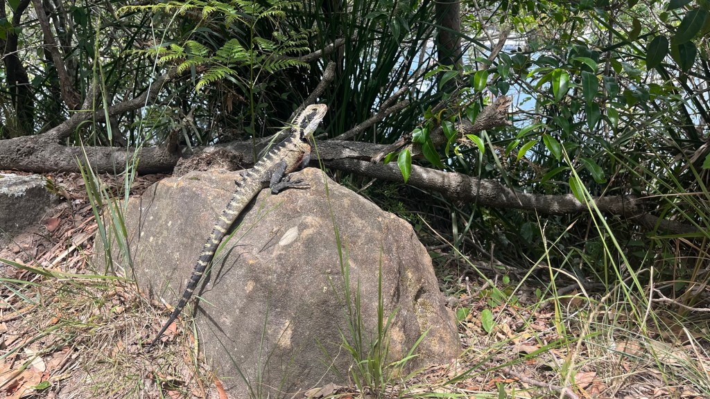
The trail seems wilder on this side of the Bridge. Bush turkeys rustle through underbrush in the middle of suburbia, and jacarandas arch overhead creating a perfect purple tunnel. As I approach Taronga Zoo the pavement gives way to dirt track and genuine bushland. A kookaburra perches on a signpost, and dozens of water dragons sun themselves on rocks: some scurry away as I approach, others are less concerned and I have to slow to step around them carefully. Tiny coves and beaches emerge through the trees, perfect for swimming if, unlike me, you’ve remembered to pack your swimmers.
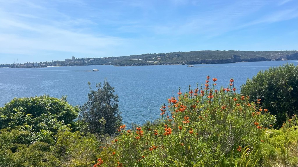
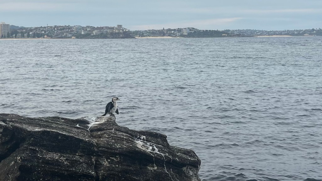
I approach Middle Head as a military ship glides through the water, a neat reminder of the layered history of the Harbour. Descending towards Balmoral Beach, I pass uni students sprawled on towels celebrating the end of exams, and families paddling in the placid water. Hunger sets in, so I stop for a burger before continuing straight up and then straight back down as I make my way towards Spit Bridge.
Once across, I begin along the Spit to Manly track. It’s high tide at Castle Rock Beach, so I take the road before rejoining the track. At Balgowlah Heights a tiny baby snake appears in the middle of the path: I’m relieved mum is nowhere to be seen. The path in this section winds through remains of a 2021 bushfire: the new growth is obvious, even before you see the sentinel skeletons of charred trees. It’s here that Manly comes into view, the first glimpse of the end.
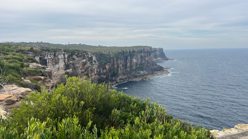
I’m getting tired, and briefly consider skipping the North Head loop and beelining straight from East Manly Beach to Manly Beach. But I came here to redline as much as possible of the trail, and I won’t have time to return tomorrow. I settle for a 15 minute break on a bench overlooking the water. When I arrive at North Head, I’m glad I didn’t shortcut: the views over the city skyline in the late-afternoon light are a perfect finale.
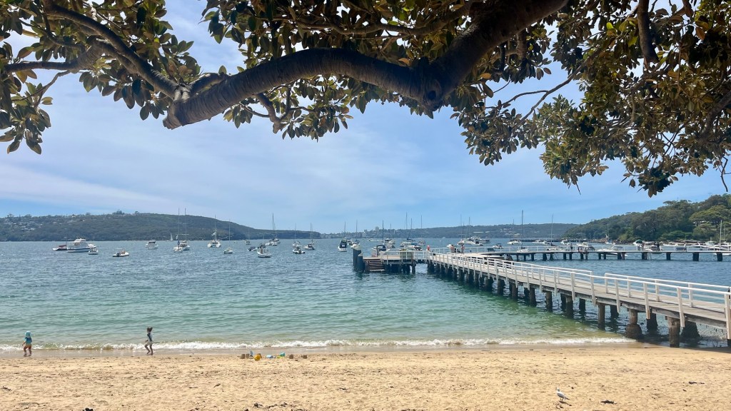
Heading back towards Manly Beach I get overconfident and fail to check the app directions, ending up off-track a couple of times. But there are plenty of roads and paths in this area so it’s easy enough to reconnect. The trail winds above Shelly Beach, then descends and I make quick time from there to Manly Beach. There’s no official end marker for the trail, so I decide the end will be at the Coles on The Concourse, where I stock up on snacks for the journey home.
Want More?
Curious about the practical side of the trail? Check out my Bondi to Manly Walk: How-To post for route info and planning tips.

Leave a comment