5 days, 124 kilometres, 2,600 metres of elevation gain. I thru-hiked the trail in February 2024: here’s the journey, day-by-day.
Thinking about tackling the trail yourself? Check out my Cumbria Way: How-To post.
The Stats
Trip Summary
- Start date: 17 February 2024
- Days hiked: 5
- End date: 21 February 2024
Distance & Elevation
- Total distance: 124.57 km
- Average distance / day: 24.91 km
- Total elevation gain: 2,602 m
- Average elevation gain / day: 520 m
Time & Pace
- Total moving time: 28h 11m
- Average moving time / day: 5h 38 m
- Average moving pace: 13:35/km
- Average speed: 4.42km/hr
Budget (ex gear)
| Category | Total (£) | Breakdown |
|---|---|---|
| Accommodation | 159.26 | Day 0 pub stay (33); Day 1 B&B (52.50); Day 2 hostel (22); Day 3 hotel (23.76); Day 4 B&B (28) |
| Food | 75.10 | Ulverston supermarket haul (8.85); Day 1 petrol station haul (7.72); Day 2 coffee (3.20); Day 2 lunch (15); Day 2 supermarket haul (8.15); Day 3 coffee (3.05); Day 3 pub dinner (20); Day 4 supermarket haul (9.13) |
| Trailhead transport | 76.85 | Train London to Ulverston (56.70); train Carlisle to London (20.15) |
| On-trail transport | 4 | Bus Old Dungeon Ghyll to Ambleside; bus Ambleside to Old Dungeon Ghyll |
| TOTAL | 315.21 | Average / day: £63.04 per walking day |
Trail Journal
Day 1 – 17 February 2024: Ulverston to Carlisle
Distance: 26.74 km | Elevation gain: 571 m | Moving time: 6h 17m | Average pace: 14:05/km | Average speed: 4.3km/hr
To the lake
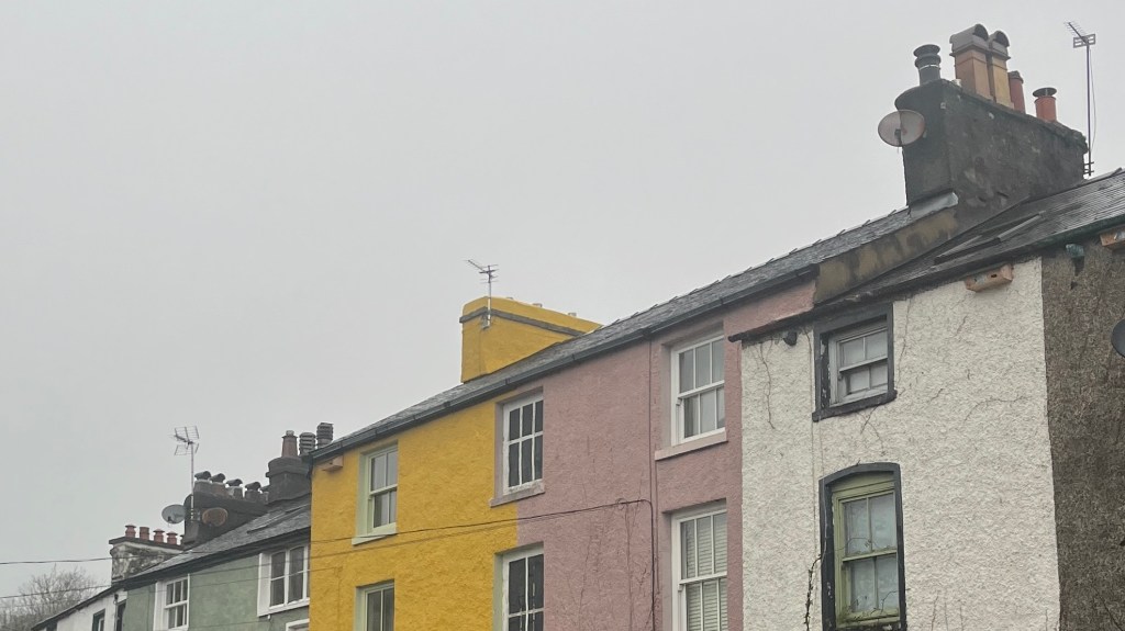
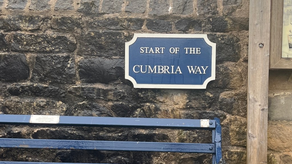
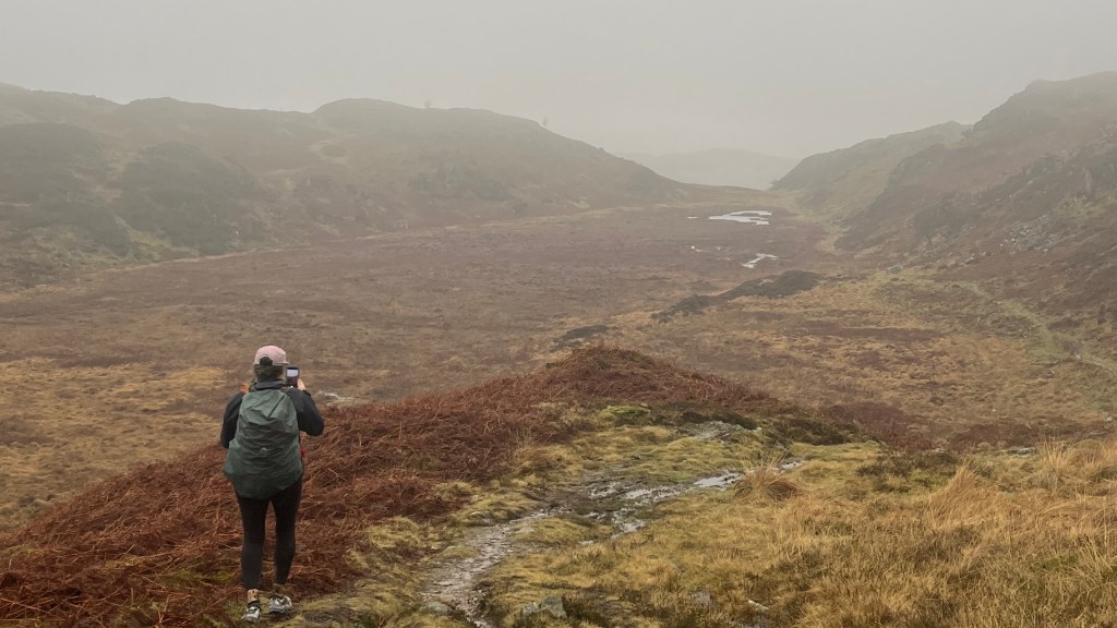

It’s “reading week” at uni, but my friend Fiona and I decide this time is better spent hiking, even if it is still winter in the UK. We hop on a train to the Lake District and roll into Ulverston one evening. The next morning we wander past brightly coloured houses under a dim white sky to snap the obligatory terminus photo and finally begin the trail.
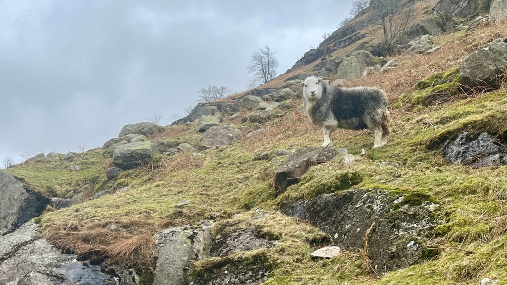
Visibility is low as we trudge through farmland and scramble over stiles. Our only trail companions are sheep, and the occasional local out with their dog. There’s plenty of mud to negotiate, and in many places the path has simply become a stream of runoff.
Still, I find myself appreciating the muted colours of winter. The reddish bracken contrasts with the pale green fields, and the water in streams glints like silver, making magic out of the dull sky.
By 3pm we arrive in Coniston, heading straight for the only resupply two students can afford: the petrol station. Topped up with snacks for tomorrow and supplies for tonight’s dinner, we make our way to our accommodation and both collapse into a recovery nap, the winter weather having taken all the energy out of us.
Day 2 – 18 February 2024: Coniston to Old Dungeon Ghyll
Distance: 19.54 km | Elevation gain: 439 m | Moving time: 4h 23m | Average pace: 13:28/km | Average speed: 4.46km/hr
Bonus kilometres beckon
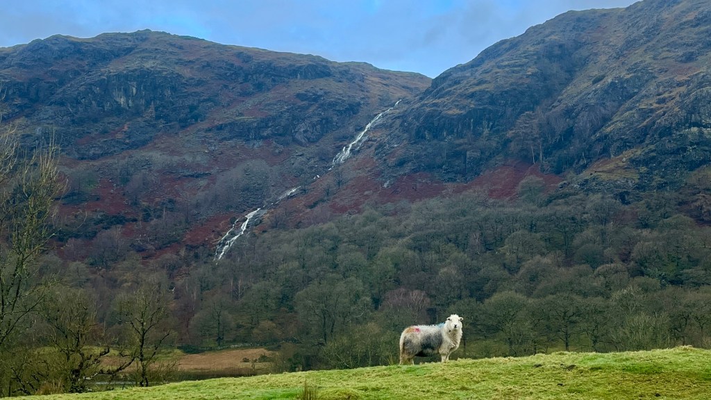
Pockets of blue sky lured us out early this morning, where we once again had the path almost entirely to ourselves. Except for a few sheep, who looked rather baffled that anyone would be walking in February. The trail today felt calm and quiet, the path beautifully maintained as we made quick progress past a series of lakes, the surrounding hills growing noticeably taller with every turn in the trail.
As more blue sky appeared, our spirits were improved further, and we were surprised to reach Ambleside before lunch. Although we were planning to stay there the night, the weather was simply too good to waste and so we decided to push on and catch a bus back later in the afternoon. After a quick cafe stop we carried on along a lovely flat stretch of trail, dotted with locals out enjoying the sunshine.
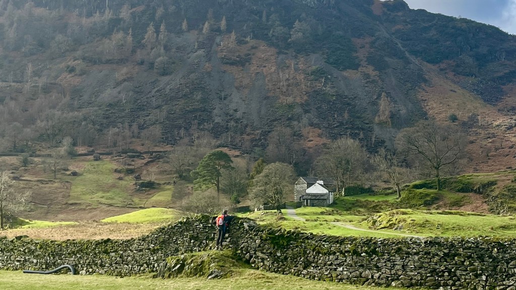
In the early afternoon we ducked into the pub at New Dungeon Ghyll for a short break and to rest our feet. It was still early, though, and the idea of reducing tomorrow’s long stage was too tempting to pass up. We kept going, the hills now rising sharply around us: we could feel we were entering the heart of the Lake District.
At Old Dungeon Ghyll we called it a day and ended with the perfect English restorative: a hot pot of tea. Shortly afterwards a bus whisked us back to Ambleside in minutes; quite a contrast to the slow, steady hours we’d spent walking the same ground earlier in the day.
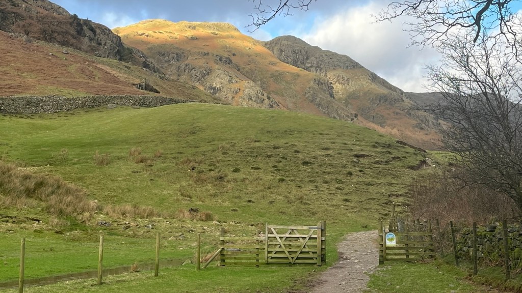
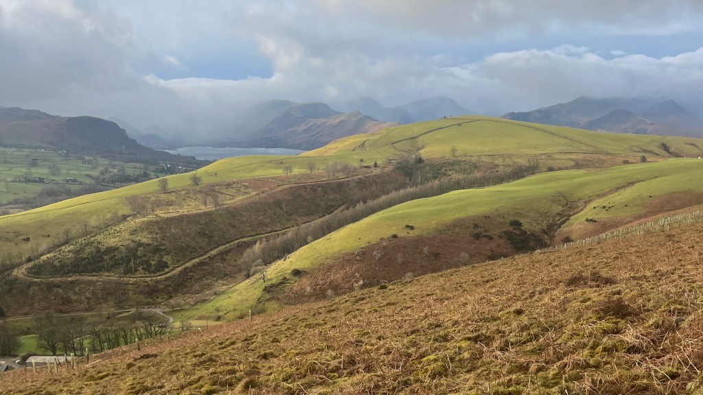
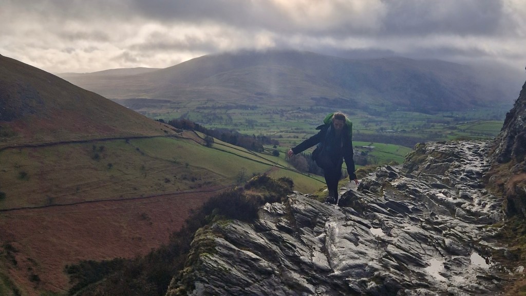
Day 3 – 19 February 2024: Old Dungeon Ghyll to Keswick
Distance: 24.77 km | Elevation gain: 556 m | Moving time: 5h 46m | Average pace: 13:58/km | Average speed: 4.29km/hr
Up and over
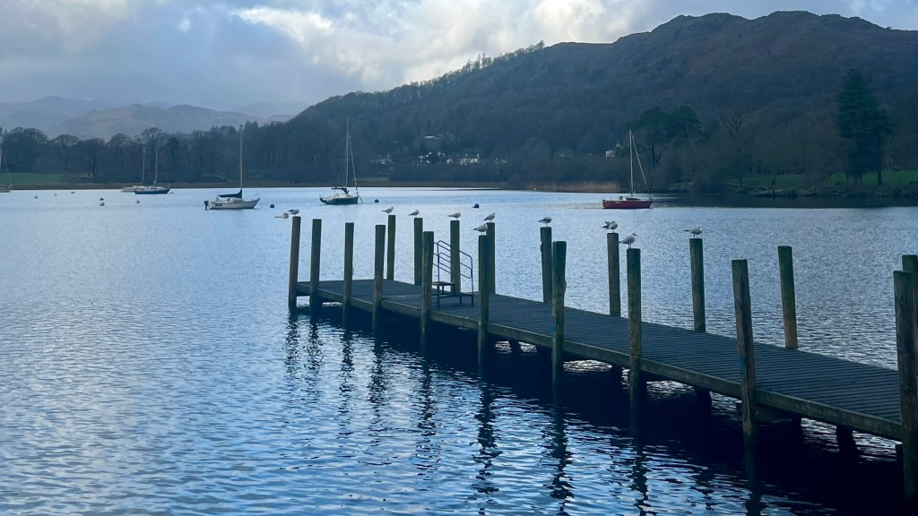
With yesterday’s extra work in the bank, and at the mercy of the local bus timetable, we enjoyed a slower start to the morning. We wandered down to the edge of Lake Windermere as we made our way into Ambleside, where we headed for a bakery stop and some steaming coffees. Soon enough we were on a bus and heading back up to where we’d left off.
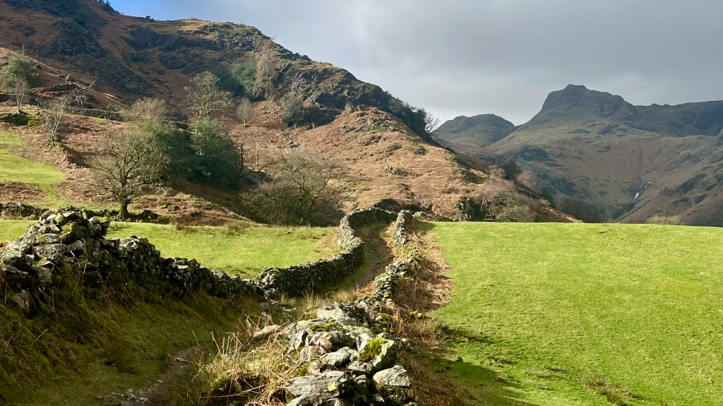
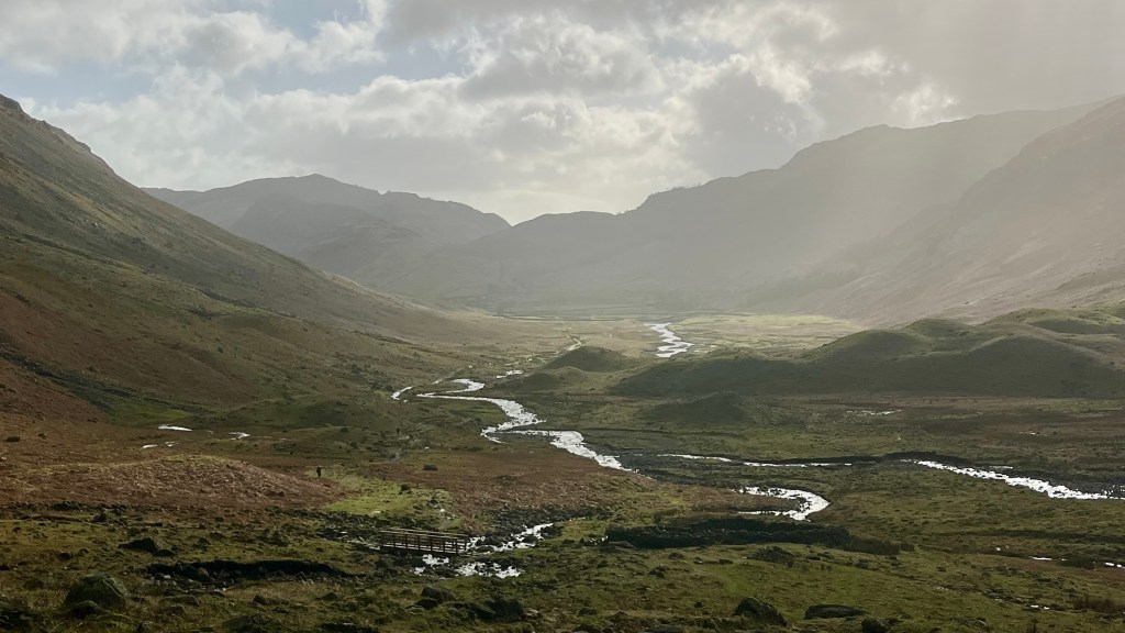
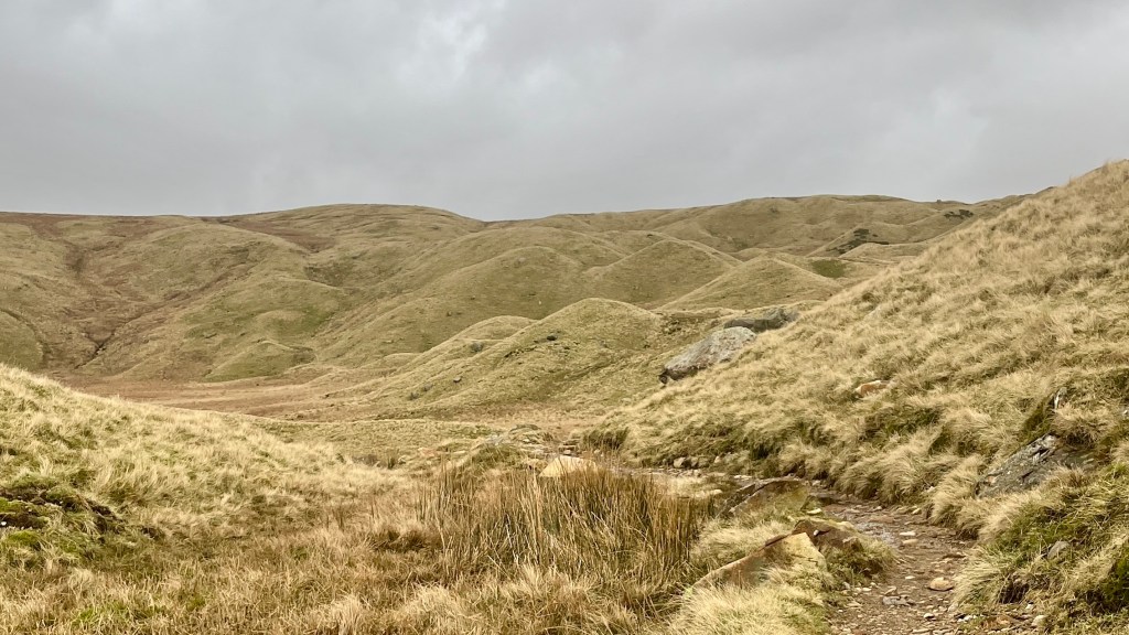
The mountains closed in around us almost immediately. Ahead of us, the path zig-zagging itself sharply up the slopes slowly revealed itself to us. Fiona practically bounded up while I shuffled steadily several metres behind her, heart hammering and lungs protesting. But the view from the saddle was worth it; a rolling landscape of muted green hillocks, a complete contrast to the stream-laced valley we’d just climbed out of. Voices rang out over the fells, walkers on a neighbouring route greeting us.
We enjoyed a short patch of relatively flat walking alongside the hillocks. Of course, what goes up must come down and we soon found ourselves staring down into the next long and sweeping valley. Our descent was slow, mostly because we couldn’t stop staring at the scenery. Once at the bottom we took a brief pause for lunch and then followed the path along to the next village. I’d been dreaming of a cafe stop, but my manifesting clearly needed work: nothing was open. Instead, the trail led us through a pig farm, into a pocket of forest, and finally onto a boardwalk that spilled us out at the southern end of Derwentwater.
Foot traffic picked up a little, with daywalkers out from Keswick a sure sign we were close. When the town finally appeared, we dropped our packs at our accommodation and made a beeline for the nearest pub.
Day 4 – 20 February 2024: Keswick to Hesket Newmarket
Distance: 28.04 km | Elevation gain: 888 m | Moving time: 6h 35m | Average pace: 14:05/km | Average speed: 4.26km/hr
In the elements
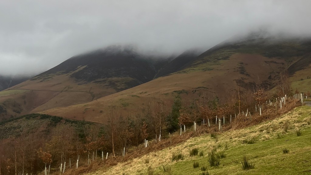
With a long day ahead of us we set off before sunrise, determined to reach Keswick’s supermarket the moment it opened. Breakfast and the day’s snacks secured, we walked out into the grey hush of a late winter morning.
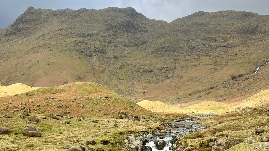
The climb out of town was gradual, clouds hanging low on the surrounding peaks. Above us the sky was an oppressive slab of dark cloud, but a band of brighter weather on the horizon gave us hope that things would clear up. Near the top of the ascent, a sudden gap in the clouds illuminated the landscape of green fields and bronze bracken, transforming the dull lake into a shining beacon.
But as we turned towards the next section of trail, the sky darkened again. We set off along a contour line, keeping well above the valley below all the way to the shuttered YHA at Skiddaw. With the wind to fierce to linger we pushed on and found shelter in the remains of an old stone building. Out came the thermos for a well-earned steaming tea, as well as snacks as we enjoyed a brief reprieve.
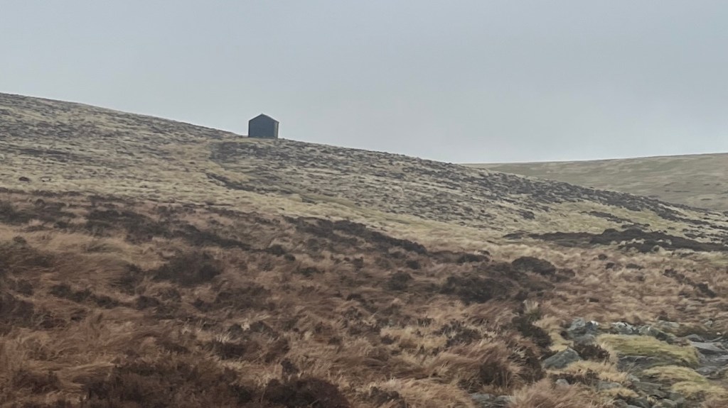
As we exited a section of pleasantly flat walking and joined a 4WD road, we stumbled across a large group of people with dogs. They were followed soon after by a smaller cluster of protesters. A fox hunting party, we soon deduced. As foreigners to both the country and the debate, we made a quick exist and turned toward the next climb just as the rain arrived. We briefly lost the path and followed a small rivulet upwards, only realising once we emerged at the top how much that small divot had been sheltering us from the wind. A small cabin on the next hill became our lunch refuge, shared with another hiker also hiding from the weather.
Back outside, I worried about the rain getting to the laptop I was carrying so I could get some uni readings done. I dug out the poncho that would cover both me and my pack, and it was immediately blown off in a scene that must have resembled a slapstick. Recovering it, I donned it once more and embraced my new identity as a dementor until the path finally descended off the hills.
Our accommodation was slightly off-route, so our final kilometres comprised a quiet road walk into Hesket Newmarket. We were delighted to find that the tiny post office also sold a range of conveniences, so we stocked up on snacks before turning into our accommodation. From the lounge we had the perfect view of the sunset as the clouds lit up the distant hills in a rosy glow.
Day 5 – 21 February 2024: Hesket Newmarket to Carlisle
Distance: 25.48 km | Elevation gain: 148 m | Moving time: 5h 10m | Average pace: 12:10/km | Average speed: 4.93km/hr
Lanes & lambs
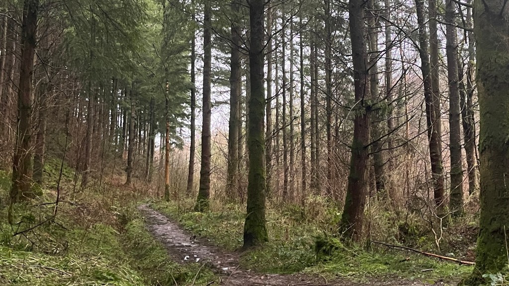
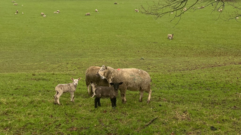

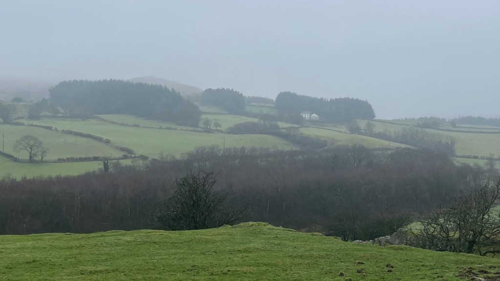
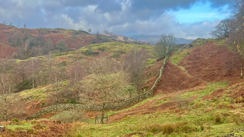
Our final morning was a blustery one. We set off, soon rejoining the Way, and the trail led us through a long stretch of forest before funnelling us along quiet country lanes and into a tiny village seemingly made up of only a church. From there we followed a river through more woodland and open fields, stopping to watch several young lambs leaping around their field.
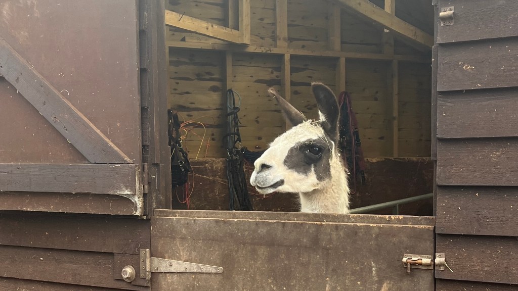
Mud was the major terrain of the day, and in a few sections our pace slowed dramatically as we navigated both it and the barbed wire that lined the trail. An Alpaca poked his head out of a barn as we passed, seeming quite happy to have company for a few brief moments.
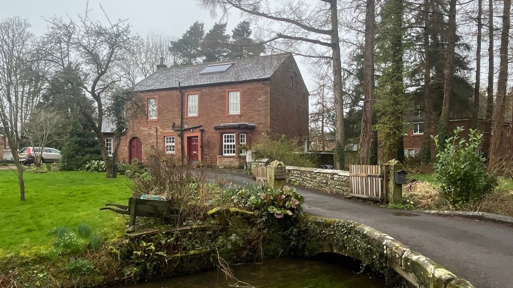
A small cluster of buildings marked our turn onto a rough country road, which carried us along a river all the way to the next village. With plenty of time up our sleeves we stopped for lunch, refuelling for the final kilometres.
The clouds that had lingered all morning finally dispersed while we were eating, and we set off after lunch under a bright sunny sky. The trail joined a bike path that made for easy walking, if a little dull. The distinctive slate stone buildings of the Lake District had disappeared, giving way to structures made of other materials. We knew we were close to the end.
The path took the scenic route into Carlisle, past some lovely old buildings and a grand church. We snapped our finisher photos outside the tourist office, then headed inside and signed the walker logbook to mark another trail complete.
Want More?
Curious about the practical side of the trail? Check out my Cumbria Way: How-To post for route info and planning tips.

Leave a reply to Cumbria Way: How-To – Thru Horizons Cancel reply