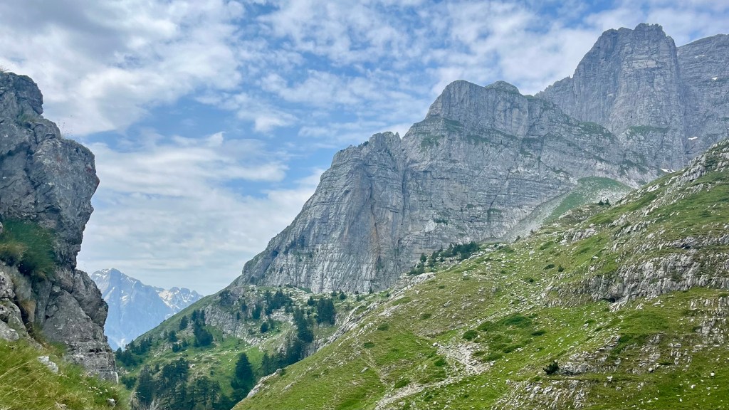
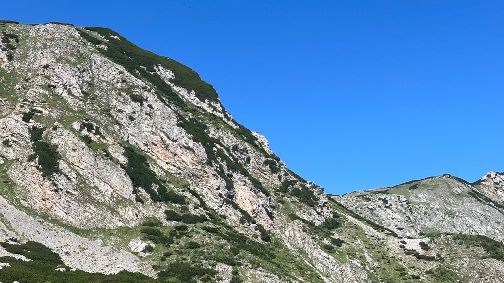
The Peaks of the Balkans is a 192 kilometre circular trail that winds through the remote “Accursed” Mountains in the border region between Albania, Kosovo and Montenegro. The trail was created in 2010, through cooperation between each of the three countries and with support from the German Development Cooperation, and was designed to support the local economy through sustainable tourism, and bring unity to the border region.
I thru-hiked the trail in June 2025. For a closer look at the on-the-ground experience, head over to my Peaks of the Balkans: Trail Journal post for my stats, budget, photos and story.
- Quick Facts
- Map & Elevation Profile
- Preparation
- On-Trail Practicalities
- Side Missions & Connecting Trails
- Hiking as a Solo Woman
- Want More?
Quick Facts
| Distance | 192 km |
| Elevation gain & loss | + 9,800 m / – 9,900 m |
| Days to complete | 9-13 |
| Best season | Late Spring (mid-June) to Autumn (late September) |
| Trailheads | Theth (Albania), Plav (Montenegro), Peje (Kosovo) |
| Recommended direction | Either way! |
Map & Elevation Profile
Preparation
Trailheads & getting there
The Peaks of the Balkans is a loop with three convenient entry points:
- Theth, Albania: a real hiker town, accessible via bus from Shkodër, which can in turn be reached by bus from the country’s capital, Tirana
- Plav, Montenegro: the largest town on trail, it can be reached by bus from Podgorica, Montenegro’s capital
- Peja, Kosovo: this is your closest entry point if you want to start in Kosovo, but you’ll need to arrange a private transfer to trail
Direction to Walk
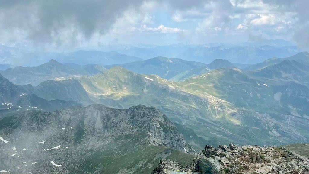
The trail can be hiked in either direction, though it’s most commonly done anti-clockwise. Your experience is going to depend on where you start, too. We were very happy with our decision to start in Theth, as the mountain ranges on the final days were truly jaw-dropping. There were also several organised groups on trail, also heading anti-clockwise, and it was nice to walk with the traffic rather than against it: we probably saw fewer people that way.
Season to Walk
The Peaks of the Balkans is best walked between mid June and late September. This is when the guesthouses will be open for business, and the trail free from snow. July and August are the busiest, and hottest, months to travel. Note that several of the villages at the end of the trail’s stages are summer settlements, only populated in the warmer months. This makes a winter trek impossible for all but those with the necessary experience to snow camp.
Cross-Border Permits
You need a permit to cross the borders between Albania, Montenegro and Kosovo. These must be arranged in advance, and you’ll need to insert your planned crossing dates at the time of application; which unfortunately means you need to sort out your day-by-day itinerary ahead of time. Although you technically cross country lines several times throughout the trail, you only need the permit when you are overnighting in a different country than the one you started in.
Accommodation
Beds & Bunks
Every village on trail has at least one guesthouse, where you can expect a bed in a private room with your travelling party. Dorms are rare, but do crop up here and there. Dinner and breakfast are often included, and if not included they’ll likely be available for an extra charge. Pre-packed lunches can also be requested.
Camping
Wild camping is possible for much of the route, especially in Albania and Kosovo. It’s not permissible to camp within a national park or nature reserve. Make sure you follow Leave No Trace, and avoid camping in farmland or too close to buildings.
You can also pay a small fee to camp at many guesthouses, in which case you’ll be able to take advantage of their delicious meals.
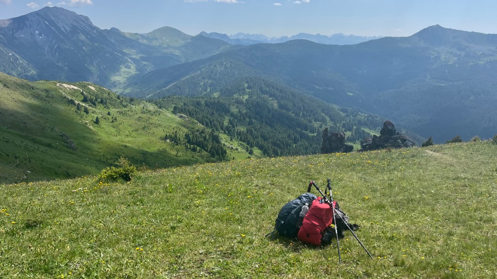
Gear List
Since we stayed in guesthouses, I travelled light:
- 2x t-shirts and hiking shorts (1 for wearing, 1 for drying)
- 1x guesthouse wear (a light dress and slides)
- 1x pyjamas
- 3x socks and underwear
- Fleece
- Athletic leggings
- Rain jacket and pants
- Trail runners
- Sunglasses and cap
- Lightweight towel
- Electronics, including battery pack, head torch, wall plug and chargers
- Toiletries and first aid
- 25L backpack
- Lunchbox and reusable ziplock
- 2x 1L water bottles
In warmer weather I perhaps could have gotten away with leaving the fleece and leggings at home; but I did end up using both on some of the colder evenings. I also probably could have done without the towel, as these were generally provided by guesthouses. But it was useful during our hostel stay in Tirana at the end of the trail, and for drying off after a dip in a lake.
My major regret on this hike was not bringing trekking poles! I ended up scrounging a couple of sturdy sticks on Day 2 and using them throughout instead. Don’t be like me.
Possible Stages
| Place | Distance from previous (km) | Elevation gain (m) |
|---|---|---|
| Theth | 0 | 0 |
| Valbona | 19.5 | 1,070 |
| Çerem | 14 (variant) / 11 (official) | 1,200 (variant) / 540 (official) |
| Dobërdol | 15.5 | 1,030 |
| Milishevc | 23 | 1,140 |
| Rekë e Allagës | 16 | 860 |
| Drelaj | 10 | 530 |
| Te Liqeni / Guri i Kuq | 13 | 730 |
| Babino Polje | 16 | 1,150 |
| Plav | 20 | 720 |
| Vusanje | 27.5 | 1,140 |
| Theth | 21.3 | 1,110 |
On-Trail Practicalities
Finding Your Way
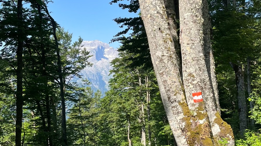
Trail Markings
The trail is generally marked by painted white and red flags or circles; occasionally you’ll come across other markers too, like the official trail logo. We found the marking generally good, but patchy in places. You’ll definitely want to bring a map or app to supplement the on the ground markings.
Maps & GPX
Unusually, it’s probably best to stick with digital navigation for this trail: the available paper maps apparently aren’t detailed enough for finding your way along the route. I used the GPX file that came with my Cicerone guidebook, and added it to my Garmin Explore app.
Guidebooks & Resources
There is a wealth of information about the trail on the Peaks of the Balkans official website, including daily walking notes under “Trail Description”. You can also check out the Cicerone guidebook The Peaks of the Balkans: Montenegro, Albania and Kosovo; or if you prefer another language, there’s a list of recommendations under “Resources” on the official trail website.
Food & Water
There are only two supermarkets on trail (in Plav and Theth), so make sure you have enough supplies to last you the whole trail. On trail there are a number of guesthouses and small restaurants: these are available at the beginning and end of each stage, and if you’re lucky there might be one partway through the day. Guesthouses serve a hearty breakfast and dinner, designed to satiate hiker hunger. They are sometimes included in your room fee, and sometimes extra. You can eat at a guesthouse without staying there (looking at you, campers). Many guesthouses also offer packed lunch options for the next day’s hike.
You’ll want to make sure you have good water capacity for this trail. We were walking pretty early in the season, when temperatures were still mild. I carried two litres per day, and downed a litre before setting off. That was usually enough, but I doubt it would be in summer temperatures. There wasn’t an abundance of places to refill, either. When I did fill up on trail I didn’t use a filter, but I was also picky about my sources as livestock does graze along several sections of the trail.
On-Trail Transport
For the most part, you’ll need to undertake each section under your own steam. While private transfers and taxis are available in most villages, vehicles generally can’t reach the trail in between. You’ll be hard pressed to find public transport options between villages.
Money Matters
Cash is critical on this trail, most places do not accept card. You’ll need to make sure you have enough to last you the entire trip, as the only ATMs are in Theth and Plav. Kosovo and Montenegro use Euros; and while the official currency of Albania is the Lek, most places also accepted Euro (although sometimes with a steep “exchange fee”, especially in Theth).
Trying to create a budget? Head over to my Peaks of the Balkans: Trail Journal post to see what I spent on trail in 2025.
Side Missions & Connecting Trails
There are some great side missions from this trail, including lots of peak bagging such as:
- Maja Kolata (highest peak in Montenegro, accessible if you take the trail variant from Valbona along the Prosllopit Pass)
- Mt Gjeravica (highest peak in Kosovo, a day-trip from Dobërdol
- Tromedja (aka Three Border Peak, the site where the Albania, Kosovo and Montenegro borders meet)
There are also some excellent day hikes from Theth, including the Blue Eye and Grunas Waterfall.
Those after an even longer adventure might like to consider folding the Peaks of the Balkans route in as the beginning or end of the epic 1,200km Via Dinarica White Trail, which overlaps with part of the route.
Hiking as a Solo Woman
Although I was with friends on this trail, I think it would be a great one to complete solo. The other hikers on trail were very friendly, and we saw a lot of familiar faces at the end of each day. Although the trail wasn’t terribly busy, it was rare not to spot at least one other hiker in the distance. While I can see the appeal of an organised group from a logistics point of view, I didn’t find the border permits or transport arrangements too time-consuming or onerous. Although phone service wasn’t always available, there were always a few spots on each day with a good signal.
I felt very safe on trail and in the villages. The locals were extremely friendly, polite and respectful; and the hospitality of the guesthouse owners was unparalleled. The one time I was a little more aware of my surroundings was in Plav, the largest town on trail, where locals seemed less familiar with hikers. But I didn’t have any incidents there.
Want More?
Check out my Peaks of the Balkans: Trail Journal for stats, stories and snapshots from the trail.

Leave a reply to Peaks of the Balkans: Trail Journal – Thru Horizons Cancel reply