This post originally appeared on The Trek. Read it here!
Day 8 – 22 May 2026: Decisions Decisions
📍 Mile 145.2 | 🥾 34 km | ⛰️ +891m / -1,173m | 🕥 7h 40m
My first cowboy camp on the PCT didn’t give me a great night’s sleep. The wind kept me up. I was bleary eyed as I made my morning coffee and packed my bag, setting off later than I’d hoped
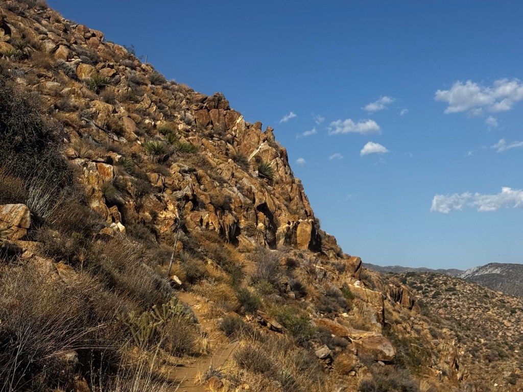
The day heated up quickly and I’d soon worked up a sweat that had me pretty much drenched, even though today’s trail was mostly downhill. The views were gorgeous, I loved the way the desert hills were softly illuminated in the morning light, making them look shades of deep blue. The trail itself was carved into the hillside and I was constantly turning rocky corners that revealed more spectacular views.
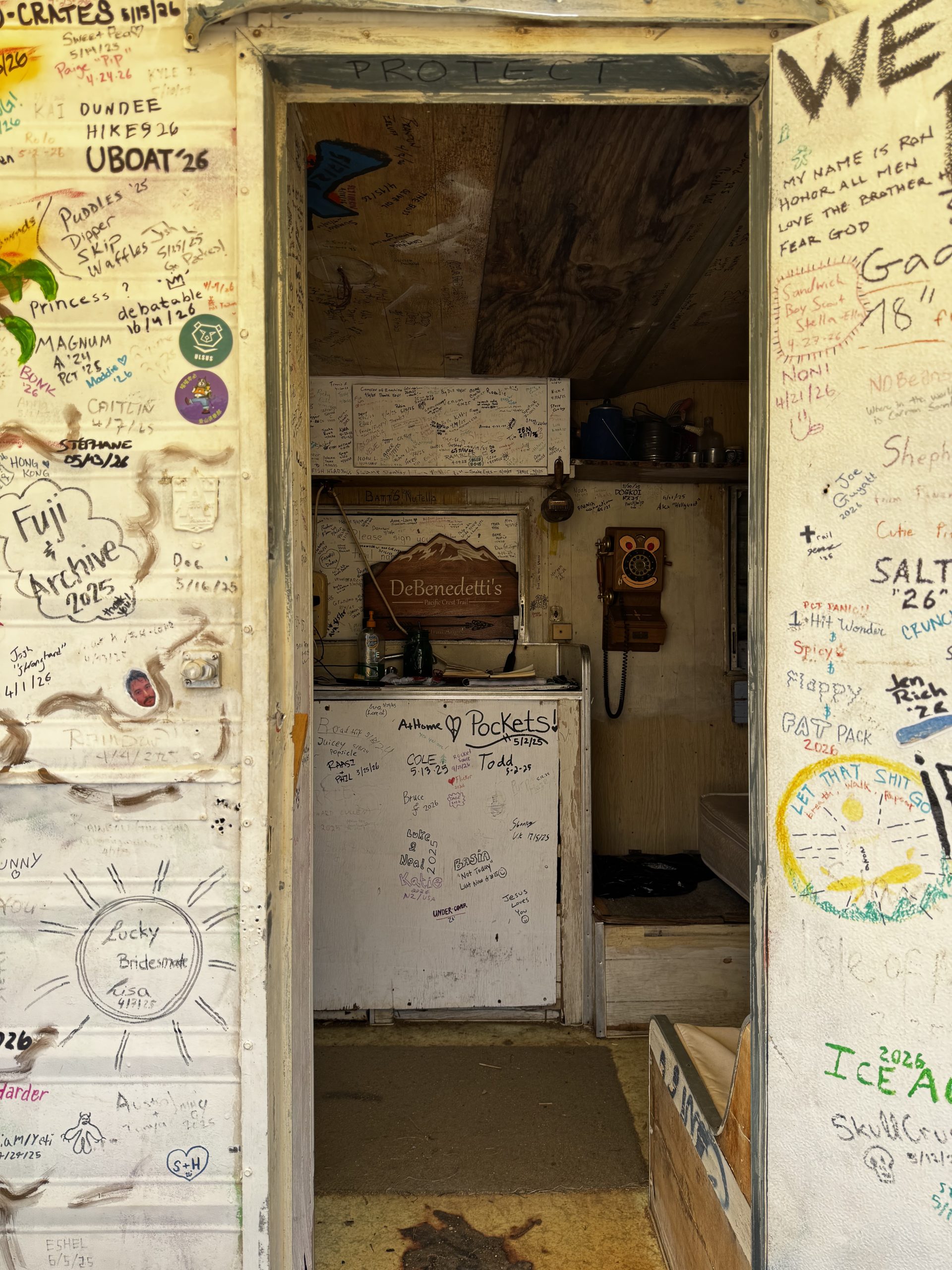
But before long the heat started to get to me and I was counting down the miles to De Benedetti’s, my planned siesta stop. It was a kilometre off trail – which I’d normally be loath to do – but a much cleaner water source than the disgusting cistern that was my only other option. When I arrived there were two other hikers there, but none of us were very chatty. The exhaustion was starting to set in, no energy to spare for socialising.
Three hours in the shade passed surprisingly quickly. There seems to be a reliable westerly wind in the afternoons, which picked up just as the day finally started to cool off. Slightly scarred after yesterday’s dust attack, I ended up staying for an extra hour in the hopes it would die off.
When I resumed the trail at 5pm I felt strong. It’s amazing what a few hours of recovery will do for you. I spent the afternoon overthinking my next move, ultimately deciding to end the day another kilometre off-trail at Little Bear Hostel, which seemed to be the only water source before Paradise Valley Cafe. I decided I’d have to forego PVC, and therefore reportedly the best burger on trail. I just couldn’t make the timing work; it’d make no sense to go off trail again in the morning and waste the coolest hours of the day waiting until they started serving burgers. I was disappointed to miss it, but thru-hiking, like most decisions in life, forces you to choose your priorities. Today, a burger wasn’t it.
Day 9 – 23 May 2026: Boundary Lines
📍 Mile 169.2 | 🥾 44.43 km | ⛰️ +2,100m / -1,290m | 🕥 10h 48m
This morning I was hustling. I broke camp quickly and practically raced back to trail, eager to make the most of the cool morning air. I did half of my morning routine as I wound along the western side of the hills: finishing my coffee, eating my cold soaked breakfast, brushing my teeth. All those little things take time in camp that I’d rather spend walking.
A couple of hours in I crossed Highway 74, and the landscape immediately shifted, like the road marked a boundary between two worlds. I suddenly left the desert behind and entered a huge boulder field. Even the air felt cooler on this side. I checked the forecast: only 75 degrees (24 Celsius) over here. Easy.
The trail’s usual twists and turns gradually sent me to higher elevation. It was so gentle it was barely noticeable. Except when I had to detour a mile off-trail to a water source. That was frustrating. I’m getting a lot of bonus miles and elevation gain in just for water.
Luckily, after that the views started to get really jaw dropping. Mountains appeared ahead of me, and the sweeping valley below came into view. It was like a reward for all the extra work to get water. I climbed and climbed and the landscape slowly became alpine. I wasn’t expecting it; I thought this was meant to be the desert section?? I actually started to get a bit cold, a stark contrast to the sweltering heat of the last few days. Soon I was amongst pine trees, which smelled incredible.
The last few miles of the trail were killer, though. It got steeper and rockier and I had to watch where I was putting my feet. My pace dropped, not just because of the trail conditions, but because I was stopping every few steps for photos of the next incredible view, or a new wildflower I hadn’t seen before.
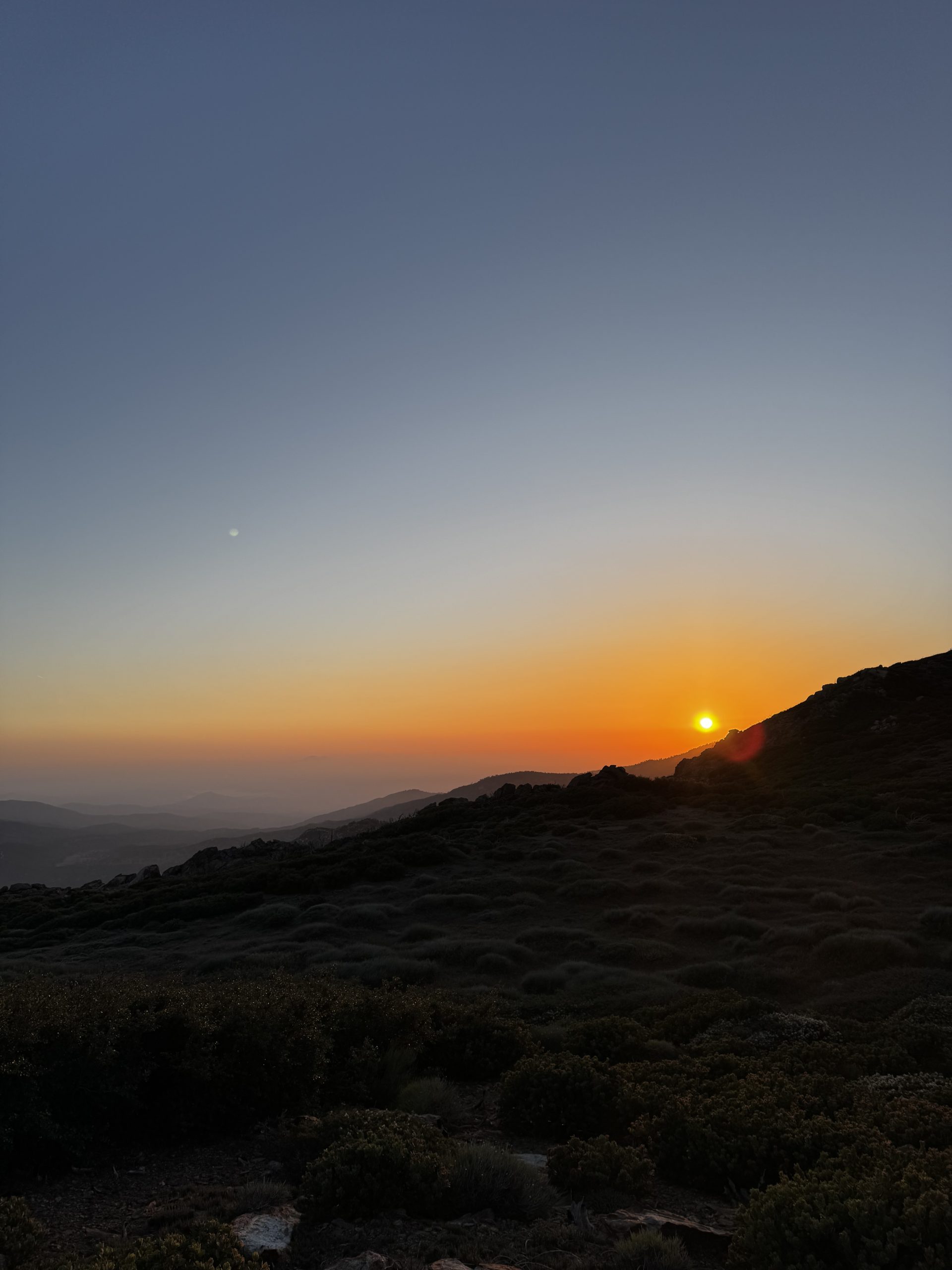
I’d thought I would arrive at the Apache Spring junction around 7pm; in the end I didn’t get there until just before 8, right as the sun set in a fantastic blaze of orange and pink. I didn’t have enough water on me for dinner, so down to the spring I had to go. As I was refilling the sun set and it grew dark. I hurried back up the steep trail to the junction. There were at least 15 other hikers already camped up there. I quickly chose a spot to cowboy, made dinner, and cocooned myself in my quilt. On paper, a 24 mile day. In reality, thanks to the water detours, 27 miles. I absolutely felt the difference. But I’d rather do the bonus miles than carry the extra water weight, at least in the desert.
Day 10 – 24 May 2026: Overwhelm
📍 Mile 179.4 | 🥾 21.79 km | ⛰️ +755m / -1,112m | 🕥 5h 38m
I’d awoken at 5.30am as the sunrise set fire to the sky. And promptly rolled over again and drifted back to sleep. Yesterday’s massive effort had taken its toll. It was only when I started to get too hot in my quilt that I finally dragged myself up, packing quickly and setting off at 8am.
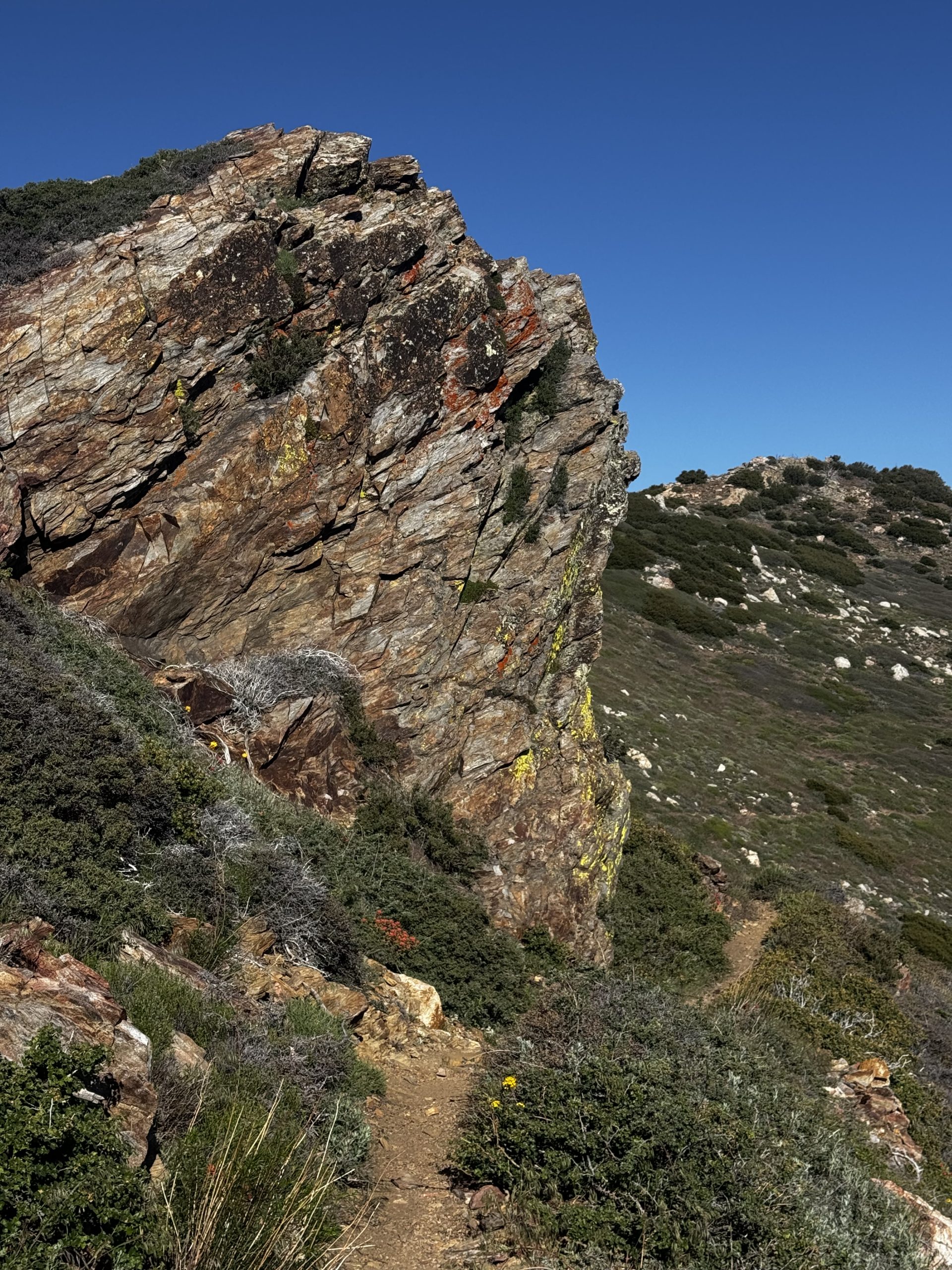
The morning was absolutely stunning. The trail wound like a ribbon across the mountain tops, offering alternating views over Palm Springs nestled in the desert to the east, and the rugged alpine San Jacinto Wilderness to the west. But the elevation gain, even though it was gentler than the last few miles yesterday, was slowly killing me. I suspected I hadn’t eaten enough for yesterday’s mileage and was paying for it now. This only motivated me to make it to town ASAP.
The comments in Far Out suggested this section of trail was an unmaintained hell. But I didn’t think it was too bad. Sure, there were a few blowdowns but there were established footpaths around all of them, and my pace was hardly impacted. It’s probably a different story when there’s still snow and ice up there, though.
I made it to a (thankfully, on trail) stream, filled up, and from there was practically cruising. I arrived at Saddle Junction and then booked it down the Devil’s Slide Trail. Day hikers asked me about the views ahead and how much further they had to go. I didn’t know how to answer them; I had no memory of where the PCT ended and the Devil’s Slide began.
I made it down to the car park at the trail head, stuck my thumb out and got a hitch from the first car that passed, straight into Idyllwild. It was a holiday weekend and the town was BUSTLING. People were everywhere and it was overwhelming. I sat down in the shade to collect myself, and was immediately subjected to a local guy’s rant about why we should all be vegetarian. Not wanting to hear any more unsolicited lectures, I decided to head straight to the campsite. I set about town chores – laundry, shower, dinner, resupply – doing my best to avoid the crowds.
Day 11 – 25 May 2026: Office Hours
📍 Mile 184.4 | 🥾 15.25 km | ⛰️ +1,344m / -348m | 🕥 4h 23m
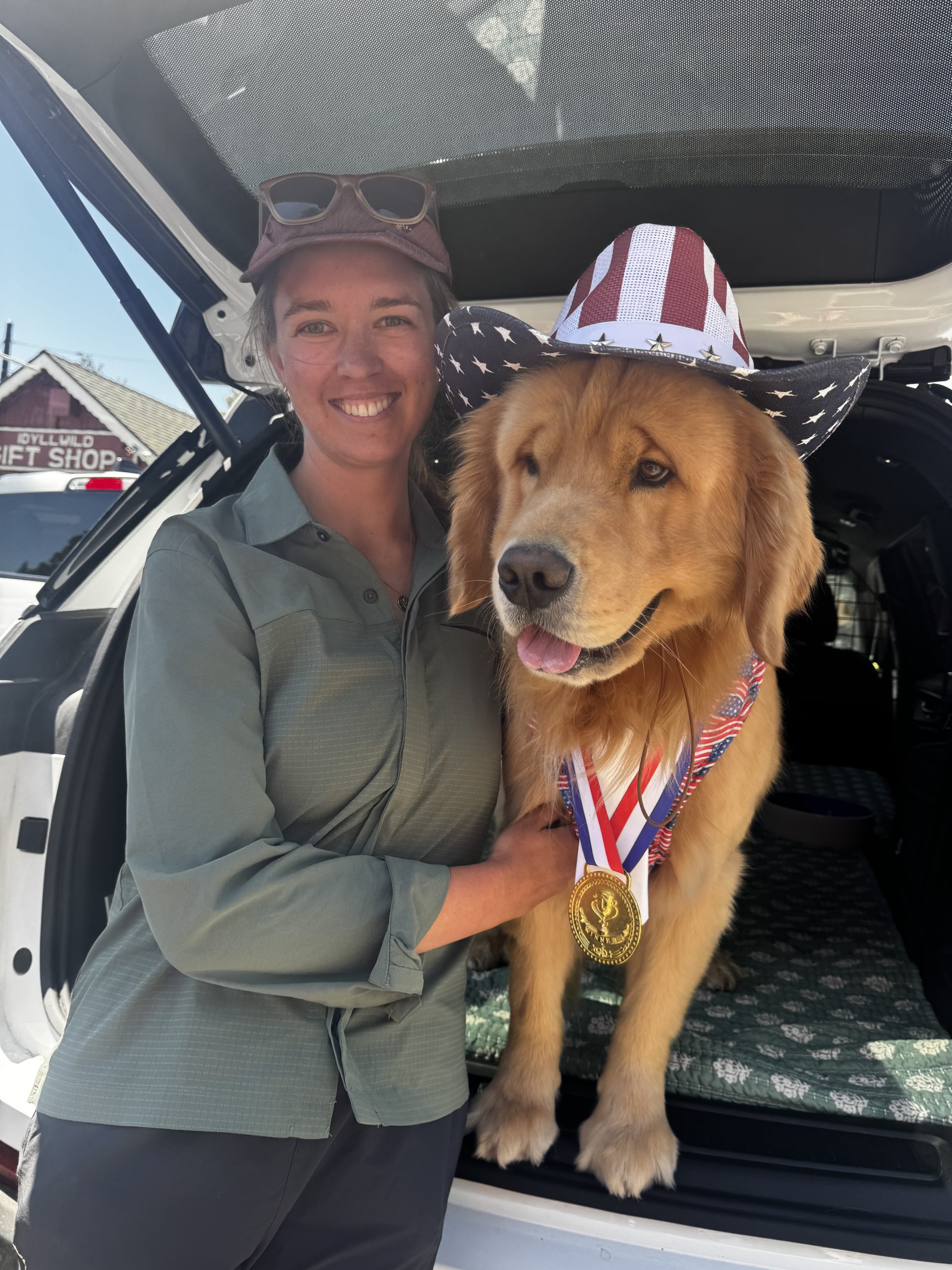
Idyllwild was much calmer in the morning. It felt like I was the only person awake as I headed into town, aiming for Amelia’s Donuts Bakery Cafe for breakfast – felt like I had to check it out. I ordered a first breakfast and coffee while my power bank charged and I waited for Chloe and another hiker, Alice, to meet me for my second breakfast. We spent easily two hours there, chatting all things trail life.
My plan had been to head out of town around 10am. But I also wanted to meet Mayor Max. He’s a Golden Retriever. I hadn’t realised he keeps strict office hours: 2-4pm daily. This presented a bit of a dilemma. I am not good at sitting still. Zero days are hard for me. But I also wanted to meet the mayor, and there’s a very high probability I’ll never come back to Idyllwild. I decided to sit in the discomfort and wait for his office hours. Unlike the PVC burger, there won’t be another opportunity for this.
It was worth it. I spent two hours in the visitor centre having a lovely chat with Steve, and Max and his Vice Mayor Meadow were extremely cute. By 2.30pm I was hitching back to the Humber Park trailhead. I wasn’t looking forward to reascending Devil’s Slide, but it actually felt a lot easier than I expected. I’m not sure why it has such an ominous name.
I briefly joined the redline before turning off on the blue blaze towards the summit of Mt San Jacinto. I was gunning it, trying to get up to the peak before dark. There was a stone shelter up there if I needed it; but I didn’t want to need it. As I climbed higher and higher I could feel the temperature growing cooler. I resisted the temptation to layer up; I didn’t want to waste the time.
I arrived at the summit at golden hour, a light blush illuminating the 360 degree views. I had it all to myself, which felt pretty special considering the large number of people I’d passed who were on their way back down. I stopped to take it in for several minutes before the dwindling daylight sent me racing down again.
The terrain was pretty rocky and I didn’t want to be night hiking if I could help it. Happily, I arrived at Little Round Valley, which had plenty of campsites amongst the tall pines, just before sunset. I pitched quickly as moonlight swiftly became the primary source of light, birds twittering as they too settled in for the evening.
Day 12 – 26 May 2026: Not A Vibe
📍 Mile 209.6 | 🥾 41.18 km | ⛰️ +645m / -3,252m | 🕥 9h 54m
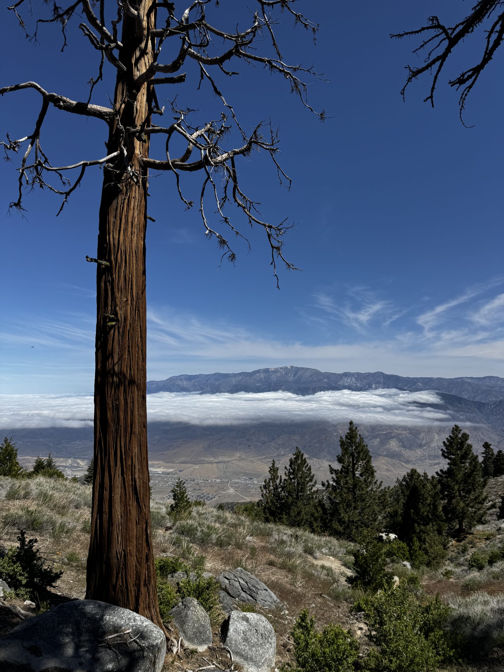
I’d camped just below 10,000 feet (3,000 metres). It was chilly when I woke up. There was no way I was being bold and starting cold, especially since today’s trail was all downhill. At the first (and last) water source I stopped for breakfast and to refill my bottles for the day. By the time I was done filtering my hands were freezing. I was keen to get moving.
The trail remained pretty rocky for most of the morning, and I was glad I’d called it a day at Little Round Valley yesterday instead of trying to push on. Through gaps in the trees I could see I was far above a blanket of clouds that totally obscured the valley below, leaving only the tops of the peaks visible, growing closer as I descended.
I usually begin every day feeling a bit sluggish, until my coffee and the endorphins of moving finally kick in. But when I was still feeling slow after a couple of hours, I knew something else was up. I chowed through most of my snacks, which didn’t help at all. I decided a rest was in order, and when I came to a sunny campground at 11am I laid out on my foam pad in the sun like a lizard. 90 minutes later I awoke to the sound of other hikers passing me, feeling very well restored.
I still had 13 miles of descent to go. Stopping earlier was not an option: I didn’t have enough water to dry camp. But as the afternoon wore on the wind picked up significantly. There was another wind advisory. By the time I finally made it down to the water source, where I’d planned to camp, it was at least as ferocious as the winds I’d experienced on day 3. I decided to push on another 4 miles, thinking I’d have better wind protection at the I-10 underpass.
Those last 4 miles were a struggle. The wind only got stronger, and ominous dark clouds began to gather, hanging low on the hills in front of me, casting the landscape in shadow and making it seem as though the sun had set prematurely.
When I reached the underpass it was …not a vibe. There were signs for PCT hikers there, but it was loud and dark and there was some random detritus – old beer cans, a few odds and ends – that clearly wasn’t from hikers. I’d seen two hikers ahead of me on trail, but they’d clearly decided not to camp there after all. I messaged a trail angel nearby but she was already full for the evening. She recommended that I don’t camp under there alone. I was reluctant to fork out for an uber and a hotel, but ultimately safety comes first, so into town I headed. The hotel room was cheap and not a vibe either, but as soon as the door closed behind me I breathed a sigh of relief. Definitely safer than the underpass.
Day 13 – 27 May 2026: Desert Dessert
📍 Mile 226.1 | 🥾 26.48 km | ⛰️ +1,508m / -984m | 🕥 6h 8m
Check out wasn’t until 11am. I was determined to take advantage of the hotel room until the very last minute. I spent the morning doing exciting things like doomscrolling and back flushing my filter – I couldn’t believe how much grit was in it. Even after half an hour it didn’t feel completely flushed but its flow was certainly much better.
I ordered an uber back to trail and started hiking into the wind once more – it hadn’t seemed to die down overnight at all, but it had at least blown those ominous storm clouds away and the day was bright and sunny. The hills, as I approached them, offered some protection from the worst gusts. I wound through a wind farm, turbines spinning rapidly, then up and over a saddle; I hadn’t been expecting that. Once I was up and over, the trail was nice and gentle, which gave me ample opportunity to gaze on the wonderful valley walls of colourful rock that had clearly been formed by centuries of river sediment.
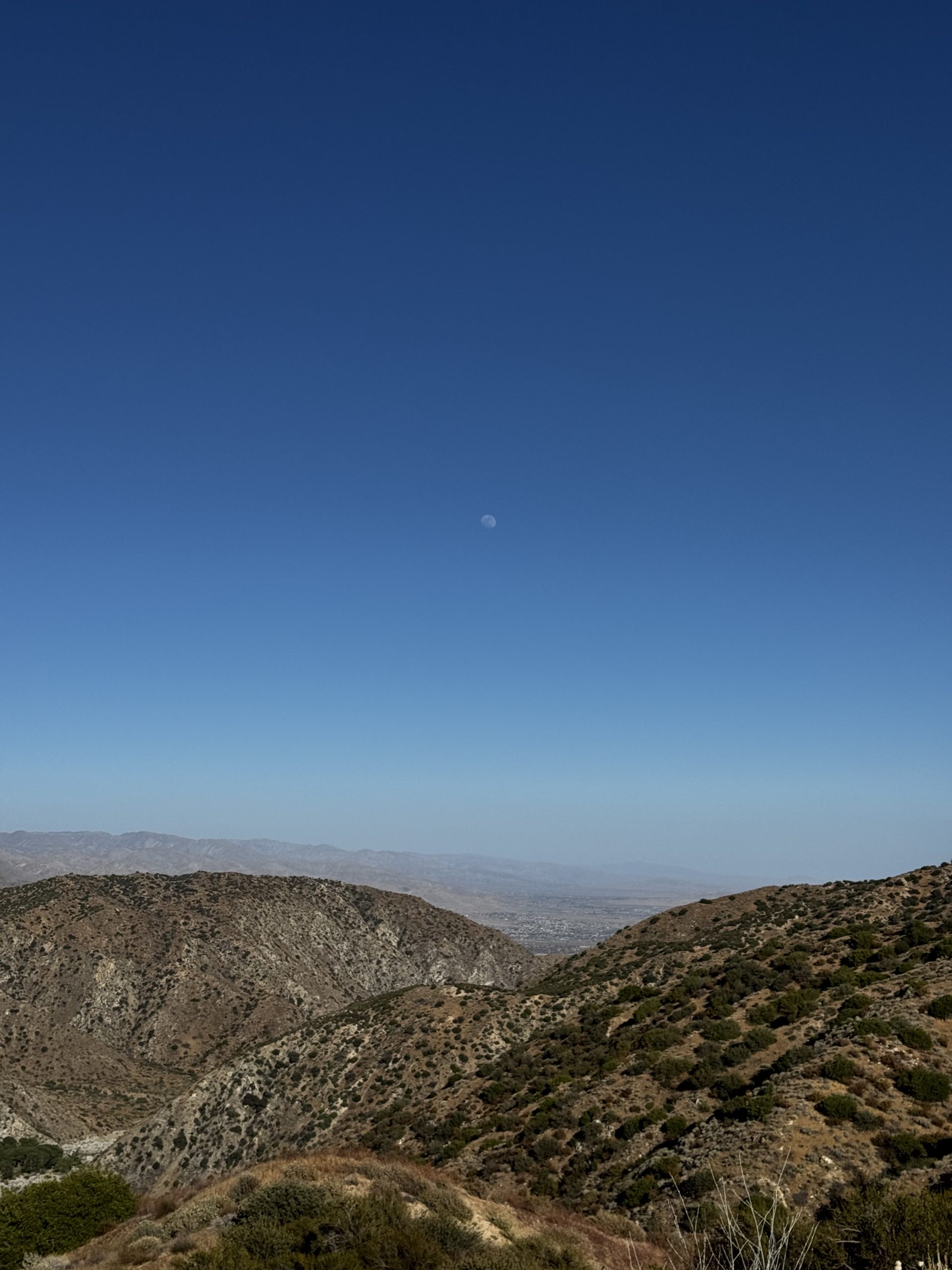
I arrived at Whitewater River and scouted along it for a rock hop. I couldn’t find one, so resigned myself to taking my shoes and socks off. No point getting wet feet for a single crossing. On the other side I ate a quick lunch, then continued on. I climbed to another saddle, then followed the trail as it gently climbed the sides of a valley until I unexpectedly found myself up on a ridgeline. I was in heaven; I LOVE ridgeline walking. And to make it even better, the moon was slowly rising over the Palm Springs desert. I must’ve walked that whole section with my jaw dropped. I didn’t want it to end, and was tempted to camp up there, but once again didn’t have enough water to make it work. Plus, the wind was still going pretty strong.
As the shadows started to grow longer I finally started to drop down towards Mission Creek. I picked a pitch next to a large bush, pretty well sheltered from the wind. After dinner I enjoyed a lovely fresh dessert of mandarins, which had been gifted to me by a PCT alum who’d been out on a section hike with a friend. Thanks, Fish!
Day 14 – 28 May 2026: Canterbury, is that you??
📍 Mile 239.9 | 🥾 22 km | ⛰️ +1,587m / -127m | 🕥 6h 27m
I accidentally snoozed all my alarms this morning, so when I finally woke up I thought I’d be the last to break camp. Somehow, though, I still managed to be the first, setting off at 8am to tackle the infamous Mission Creek; a section of trail that was washed out after a hurricane in 2023. I was looking at miles of riverbed walking, instead of the nicely maintained horse trail that makes up the rest of the PCT.
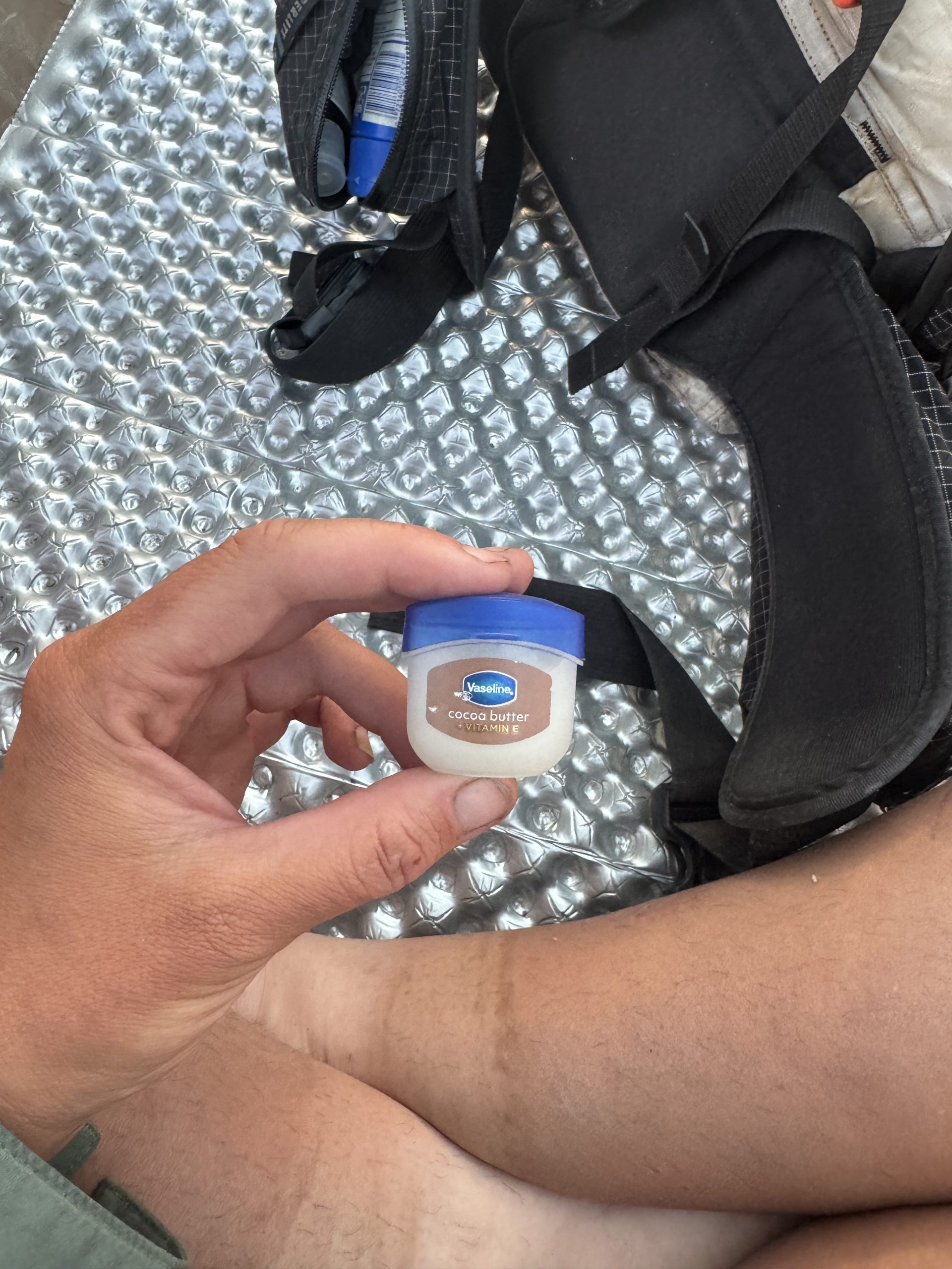
Luckily, Te Araroa, especially its Canterbury section, which pretty much consists of only river walking, had prepared me for this. I slathered my feet in Vaseline, from the tiniest tub of it ever to exist, before putting my socks on in the morning – to help prevent blisters and insulate me from the cold water. So when I came to the first stream crossing I didn’t waste any time trying to keep my feet dry; I just charged straight through.
I entered total flow state. I didn’t bother trying to find the remnants of the trail; I just boulder hopped and splashed through the creek following whatever line I pleased. Before I knew it, it was over. I hardly took any photos.
Ironically, the harder part of the day for me came when I rejoined the trail. The gradual incline was relentless, and deceptive. My energy dropped rapidly, and my pace suffered even though the terrain was much less technical. As I climbed down a side drainage I was swarmed by bees. That’s never happened to me before. It sounded like they were in my hair and I was thrashing my head around, trying to shake them. I was glad there were no other hikers around to see my objectively whacko behaviour. Luckily, I came away without a single sting.
But the worst part of the day was the last two miles. At the top of Mission Creek the trail completely disappeared. It looked as though a storm had recently downed even more trees, although I have no idea if that’s true. Luckily there was a trail crew there, scouting the damage. They pointed out the best route to me and I soon reached Mission Springs camp. It was only 3.30pm but I was wiped. I set up my tent and collapsed inside, feeling no shame whatsoever even as other hikers finished their siesta and headed out.


Leave a Reply