This post originally appeared on The Trek. Read it here!
Day 43 – 26 June 2026: Solo Slide
📍 Mile 789.6 | 🥾 37.16 km | ⛰️ +1,466m / -2,009m
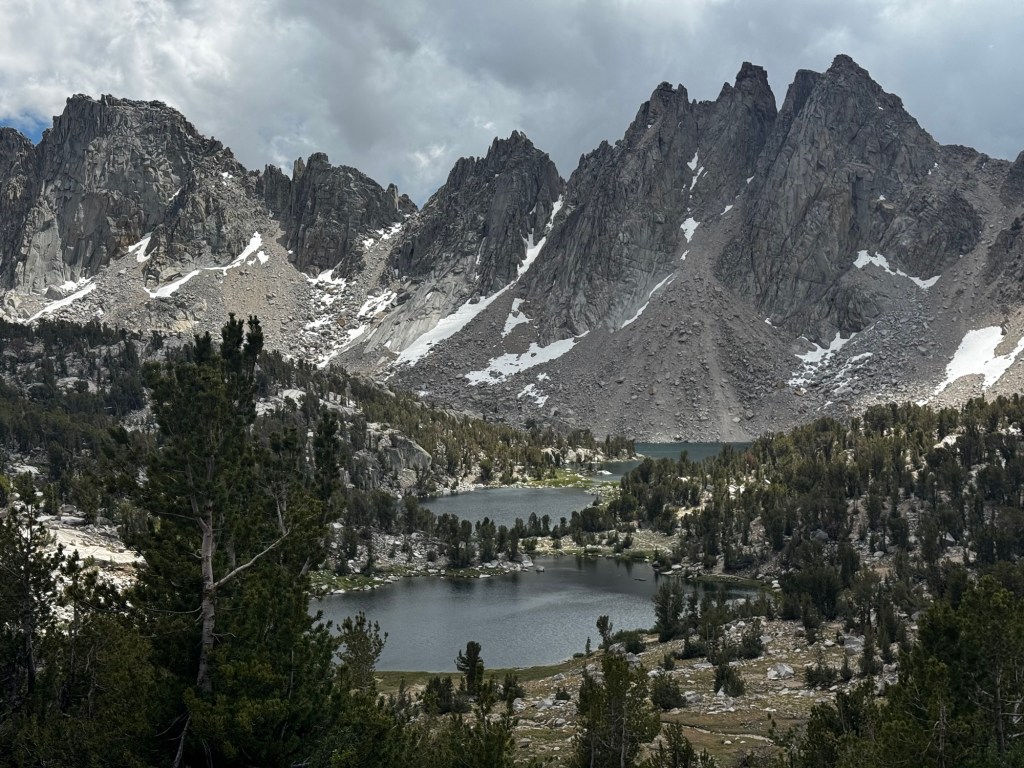
Forcing myself to get moving was tough in the cold morning air, especially after yesterday’s midnight wake up. But I managed it, and was on my way into a gorgeous bluebird day. The trail was immediately spectacular. Within minutes I was above treeline, mountains stretching in a fantastic wall ahead of me.
I’d estimated it would take two hours to climb from my campsite to Forester Pass. In the end it took three, thanks to the half frozen lakes, sheer peaks and soft morning light, which kept tempting me to stop for photos. On the way up the switchbacks I came across two SOBO John Muir Trail hikers and asked them about the snow. They told me it was good and firm, they’d followed some clear boot pack but they’d seen most NOBO hikers glissading down to trail. I thanked them and we continued our separate ways.
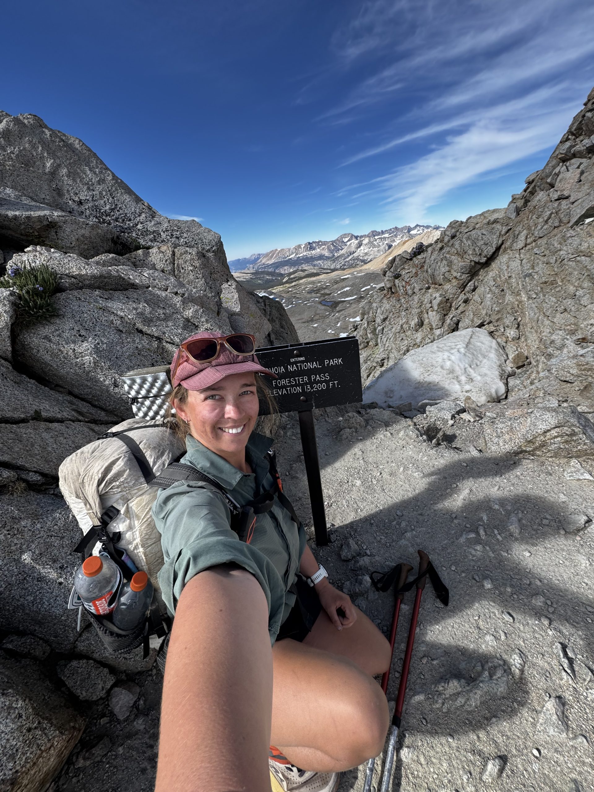
Arriving at the pass I spent a few moments taking it all in. I had it all to myself, which was great, because it was pretty narrow up there. I scanned the huge granite peaks and gleaming lakes in front of me, awed. But then it was time to get to work. I had a long hike ahead of me: by the end of the day I would be totally out of food. Making it to town was mandatory.
I started slowly picking my way across the boot pack. I wasn’t at all sure I wanted to be glissading down a pretty steep slope totally solo. But when I made it to an outcrop of rocks and scanned the even longer boot pack ahead of me, and then a very convenient glissade chute just to my right, I decided to take the risk. I sat down, dug my heels and hiking poles into the snow, and slowly pushed forwards. It definitely wasn’t the most graceful glissade; nervous about accidentally building too much speed and flying off the side of the mountain, I repeatedly brought myself to a stop. But I survived and practically flew down the rest of the mountain, very pleased with myself. It might sound odd, but in a way I was glad to have done the glissade solo. It gave me the space to take my time, without an audience, and without feeling like I was holding anyone up or taking too long.
After a few sketchy snow patches the trail became wonderfully cruisy. The views of green meadows, pine forest and distant peaks slowly opened up as I made my way down into the valley. Thankfully once I actually entered the forest my pace picked up as I was less tempted to stop for photos. I made good time and was soon beginning the ascent up to Kearsage Pass. Kearsage isn’t an official part of the PCT, but it is a (convenient? Debatable) way to get to the town of Bishop for resupply. And wow, what a scenic way to get in some bonus miles. Chock full of alpine lakes, which were slowly turning steely grey as the afternoon became overcast, I was captivated by the landscape, which hardly seemed real.
As I climbed the pass itself the wind began to pick up, and by the time I made it to the summit it was strong enough that I didn’t even linger for a victory photo. The descent was easy, well graded switchbacks, but with the promise of town at the end it seemed to go on forever. When I finally arrived at the car park at the trailhead it was a relief. But there were already two other hikers there, who told me they’d been trying to hitch for the last 40 minutes. I’d passed a few day hikers on the way down, and hoped that one of them would give us a ride. But car after car went past for over half an hour. Just as I was beginning to give up hope, a PCT section hiker approached us and offered a ride into Bishop. I could’ve cheered. She dropped us at the hostel, where we secured the last 3 beds in the PCT dorm – the trail provides! – and I headed straight back out in search of a town meal.
Day 44 – 27 June 2026: There and Back Again
📍 Mile 791.2 | 🥾 14.34 km | ⛰️ +1,144m / -581m
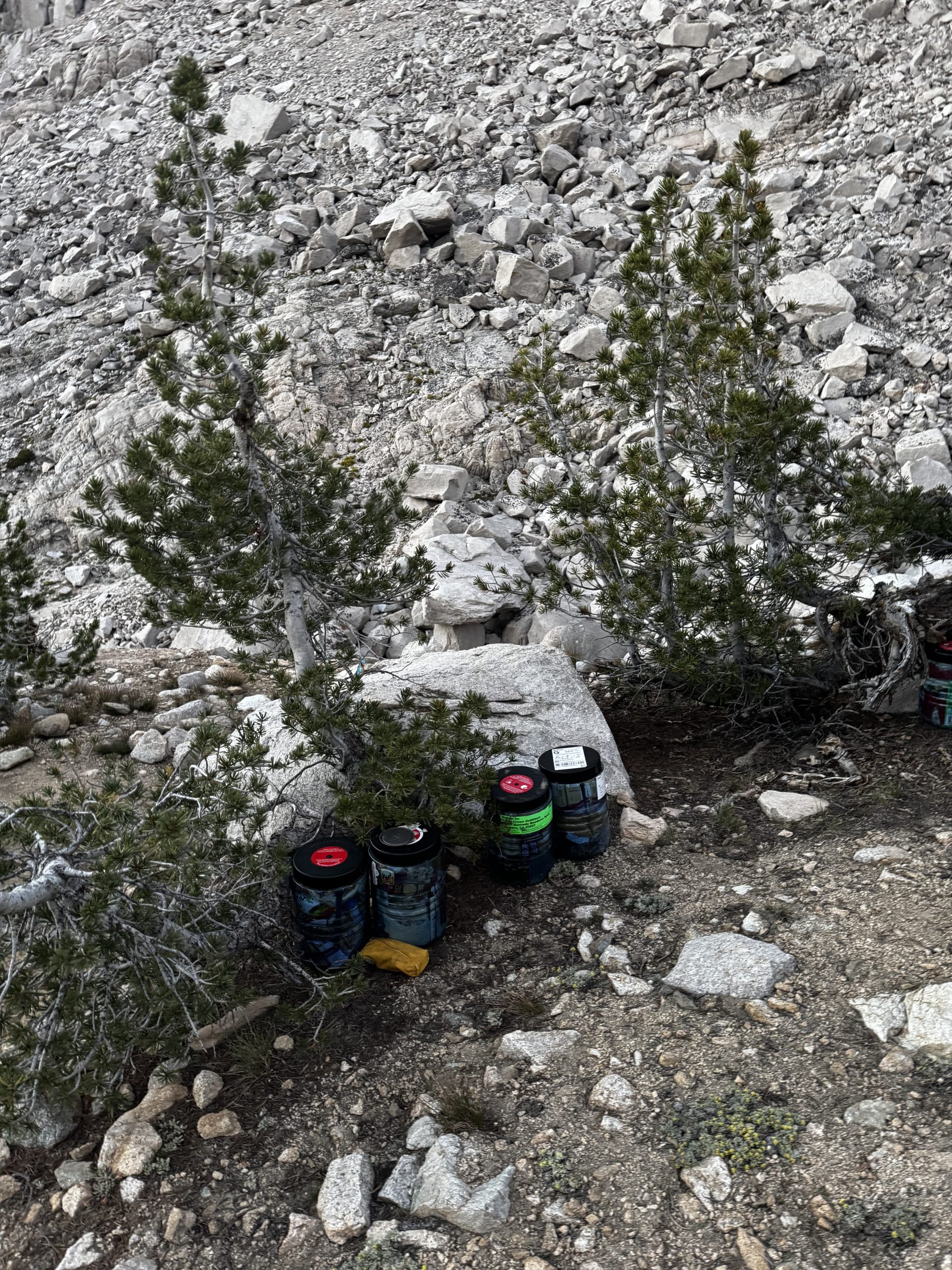
I woke early and decided to head straight to the supermarket – a mile out of town – while traffic was quiet. I borrowed one of the one-speed bikes from the hostel and nervously made my way, riding on the wrong side of the road. Fortunately there was a bike lane, but still the cross traffic was kind of stressful.
Resupply complete, I dropped everything back at the hostel and went in search of breakfast. Three banana pancakes and a cold brew later, I was back at the hostel, where the usual town chores somehow ate up half the day. Mid-morning a trail angel swung by to see if anyone wanted to organise a ride to the trailhead – I practically jumped at the chance. Shoutout to Eric, who refused all offers of gas money despite the 40 minute drive.
Back at the trailhead I mentally prepared to reascend Kearsage. It had taken me just under two hours yesterday to get down; and to my surprise it didn’t take me that much longer to get back up. At the junction I turned right towards Rae Lakes, not caring about the 0.7 miles of redline I’d miss. Kearsage had more than made up for it.
I realised the sun was beginning to set, and I probably wasn’t going to make it up and over Glen Pass. But I didn’t have enough water to dry camp. Luckily after a quick FarOut doomscroll I found a campsite which wasn’t marked as having a water source but which did apparently have a small stream nearby. And when I arrived I found not only water, but also El Pres and a few members of her trail family. We ate dinner together as the sun set, turning in early as the mountain air grew chilly. I found a spot to cowboy beneath a couple of trees which offered some good protection from the evening wind.
Day 45 – 28 June 2026: Coffee Addict
📍 Mile 812.5 | 🥾 37.42 km | ⛰️ +1,634m / -1,975m
I accidentally slept in, although this wasn’t exactly a problem as I’d decided to take the Sierra a little slower from now on, so I could enjoy it more. I was too cold to bother collecting more water, so I decided to skip my usual morning coffee. “It’ll be good to break the habit, anyway,” I thought. I’d soon discover this was wildly optimistic thinking.
When I finally left camp it was straight into the climb up Glen Pass. It was a pretty barren south side, but the north side opened into the shimmering chain of Rae Lakes. The strong and chilly wind incentivised a quick descent down to Rae Lakes, where the sapphire water was glinting in the morning sun.
By the time I reached the first lakeshore, though, I felt like I was dragging. I hoped it was because I was still a little cold and I wasn’t yet fully awake. But I knew it was really because of that lack of coffee. Still, I didn’t want to bother with stopping and pulling out everything I would need to make even just a cold brew. So I soldiered on, down past the lakes and then descending the valley beyond.
At the bottom of the valley I caved and stopped for a coffee break in the sun. It was the right call. I felt myself start to come online instantly. Although it was annoying to discover this extent of my coffee addiction.
I reached the bottom of the valley, crossed a very impressive swing bridge, and stopped for a quick lunch before beginning to ascend once more. On FarOut the elevation gain up to Pinchot Pass looked super gradual, and I was looking forward to the climb.
But it was tougher than anticipated. It went on and on, my pack felt really heavy after yesterday’s resupply, and then stairs started to appear. It’s funny how quickly we adapt to different scenarios. On the TA I got very used to not picking my own stride length thanks to the rocks, roots and ruts in the trail; there, walking a dirt road at my own stride length felt hard. But on the PCT it’s the reverse: picking my own stride length is natural, and any obstacle, even perfectly maintained stairs – albeit of varying and sometimes difficult heights – is the challenge.
The last half mile of the pass was the hardest. It was truly steep, and the altitude had me gasping for breath. Arriving at the summit, though, I was met not only with a spectacular view, but also with the very welcome sight of El Pres’s group. It was also surprisingly warm, there was no wind, so I sat in the sun and enjoyed some snacks and chatted with my fellow hikers.
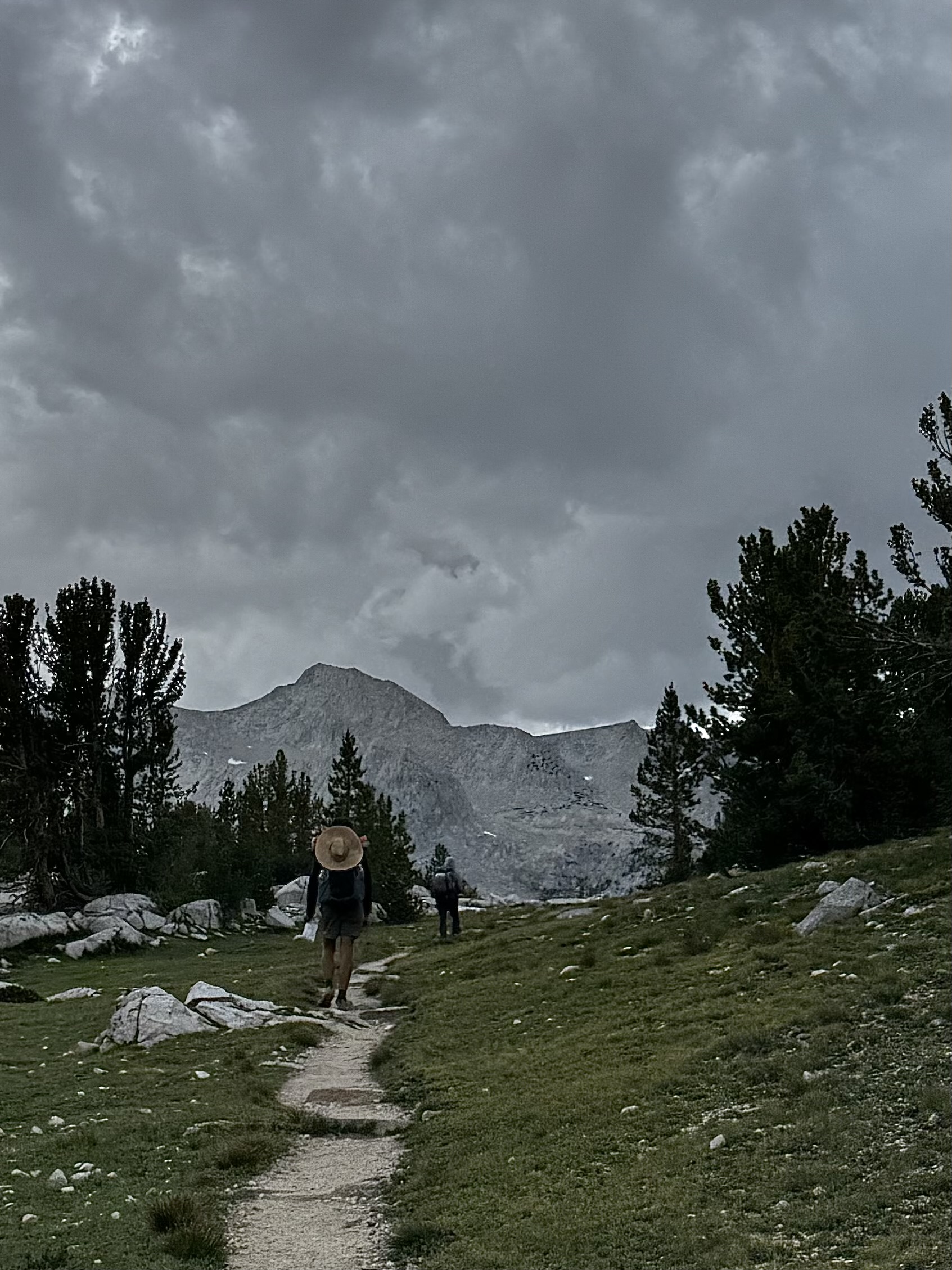
Then it was time to descend. The sky was slowly growing overcast, which lent a steely grey sheen to the alpine lakes. I loved it. Although we’d all set off from the pass at different times, I ended up hiking and chatting with most of El Pres’s group for the final few miles, which consequently flew by. Arriving at camp, the sky looked ominous so we pitched our tents instead of risking a cowboy. But as we ate dinner the sky miraculously cleared. Of course, if we hadn’t pitched then it no doubt would have bucketed.
Day 46 – 29 June 2026: Ironic
📍 Mile 833.8 | 🥾 36.6 km | ⛰️ +1,227m / -1,485m
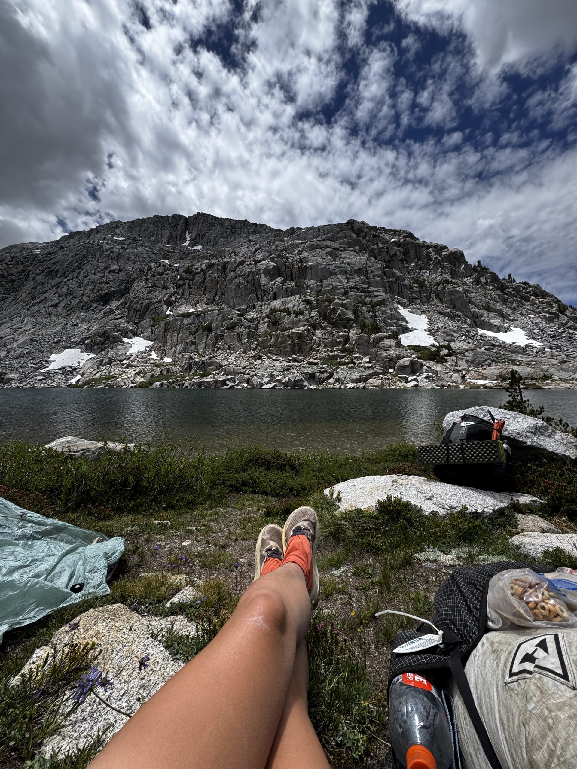
I am not a morning person. El Pres’s group leave camp at 6am every day. I’m not even awake by then. Instead I set off at 7.30 or later, preferring to hike later than get up earlier where possible.
This morning the trail immediately threw a river crossing at me, which threatened to be a very cold and rude awakening, but I eventually found a spot to rock hop across. And shortly afterwards a few members of El Pres’s group who’d camped a couple of miles back, including Hoppy, caught up to me. Hoppy and I walked the rest of the morning together and he set a crushing pace up Mather Pass. We were at the top in about two hours.
Sadly the pass was windy and therefore chilly, so after a quick Pop Tart power up we began the descent. The north side was stunning, dotted with lots of lakes and lots of snow. Thankfully there were no sketchy snow patches to traverse, and I was happy to be dropping lower out of the wind. We caught up with a couple of other group members and had lunch together at a lakeside, admiring the colours in the sheer rocks opposite us.
I set off alone after lunch, growing cold in the wind before the others did. A series of sharp switchbacks sent me further down into the valley. I couldn’t wait until they were over but the descent seemed interminable. Although some very fragrant flowers made me want to close my eyes and inhale a huge breath every few steps.
In hindsight, I was probably dehydrated today. Ironic that I was so conscious of my water intake when it was scarce in the desert, but now when it’s everywhere I’ve become lazy. “I’ll just wait for the next one,” I tell myself. Only the next one turns into the one after that, and the one after that. The water itself is so cold, and the air in the Sierra much crisper, that it’s easy not to want to drink at all.
As I began the ascent up to Muir Pass I noticed the clouds were starting to turn a more ominous shade of grey. I ran across some JMT hikers who said their latest weather report forecast a 30% chance of rain. Nothing to sweat about. Not long afterwards I came across El Pres and some of the group, already eating dinner, and joined them. As we ate a few light drops began to spit. I hurriedly pitched my tent, threw myself inside, and just as I did the rain began in earnest. “At least it’s not storming,” I told myself, happy to be camping below treeline nevertheless. As if I jinxed it, lightning immediately flashed through the sky, followed by a loud boom of thunder. But happily that was the only lightning we got all evening, although the rain and distant thunder continued for hours.
Day 47 – 30 June 2026: Mountain Magic
📍 Mile 856.9 | 🥾 39.96 km | ⛰️ +1,128m / -1,498m
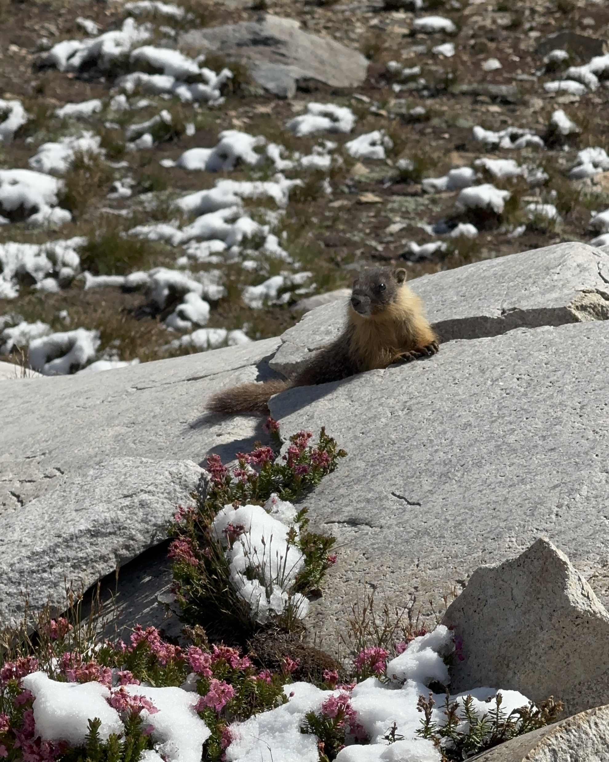
This morning the trees, still dripping with lingering raindrops, smelled incredible as I trampled through forest. Then I emerged above treeline and discovered a bluebird day, everything glistening in the morning sun. And as I climbed higher, I found shady bushes coated in ice. And higher still, there was actual snow, lightly dusted across the plants like icing sugar. I was enraptured. Every few steps seemed to reveal something else worth stopping for.
Everything was pure magic as I twisted and turned through pine forest, then alongside an alpine lake, before climbing away from signs of life and up the rocky pass, where patches of fresh snow covered some of the established boot pack on the trail. Marmots poked their heads out of rocks, chirping in alarm when they saw me.
I climbed higher and higher, past more lakes and over more snow, until the conical stone roof of Muir Hut finally came into view. It was a spectacular morning, and I soon joined several hikers sunning themselves and drying out gear by the side of the hut.
Descending down the north side of Muir Pass was a totally different kind of spectacular. As the trail started to head down the valley the peaks surrounding the trail grew more jagged and lakes abounded, their waters so clear and blue they looked almost tropical.
I paused for lunch, and another hiker leapfrogging me turned to take in the view, giving me a thumbs up for my choice of break spot. From there, only a little of the stunning views was left, and soon I was entering treeline once more. At least my pace picked up, now that I wasn’t tempted to stop for photos so often.
The descent passed quickly, and as the sky began to turn peach with the sunset I came across El Pres’s group having dinner. I joined them as El Pres told a story about how she’d tried to push on to a much larger campsite only a few hundred metres further along, but upon asking some JMT hikers if she could set up in the area, they’d said no. We all scoffed in disbelief: it doesn’t really work like that on a trail as popular as this one. The question is polite, but largely rhetorical. As a result, I ended up in a very lumpy campsite, squeezed in between El Pres’s group and a large family.
Day 48 – 1 July 2026: Quiet
📍 Mile 879.9 | 🥾 40.73 km | ⛰️ +1,407m / -1,485m
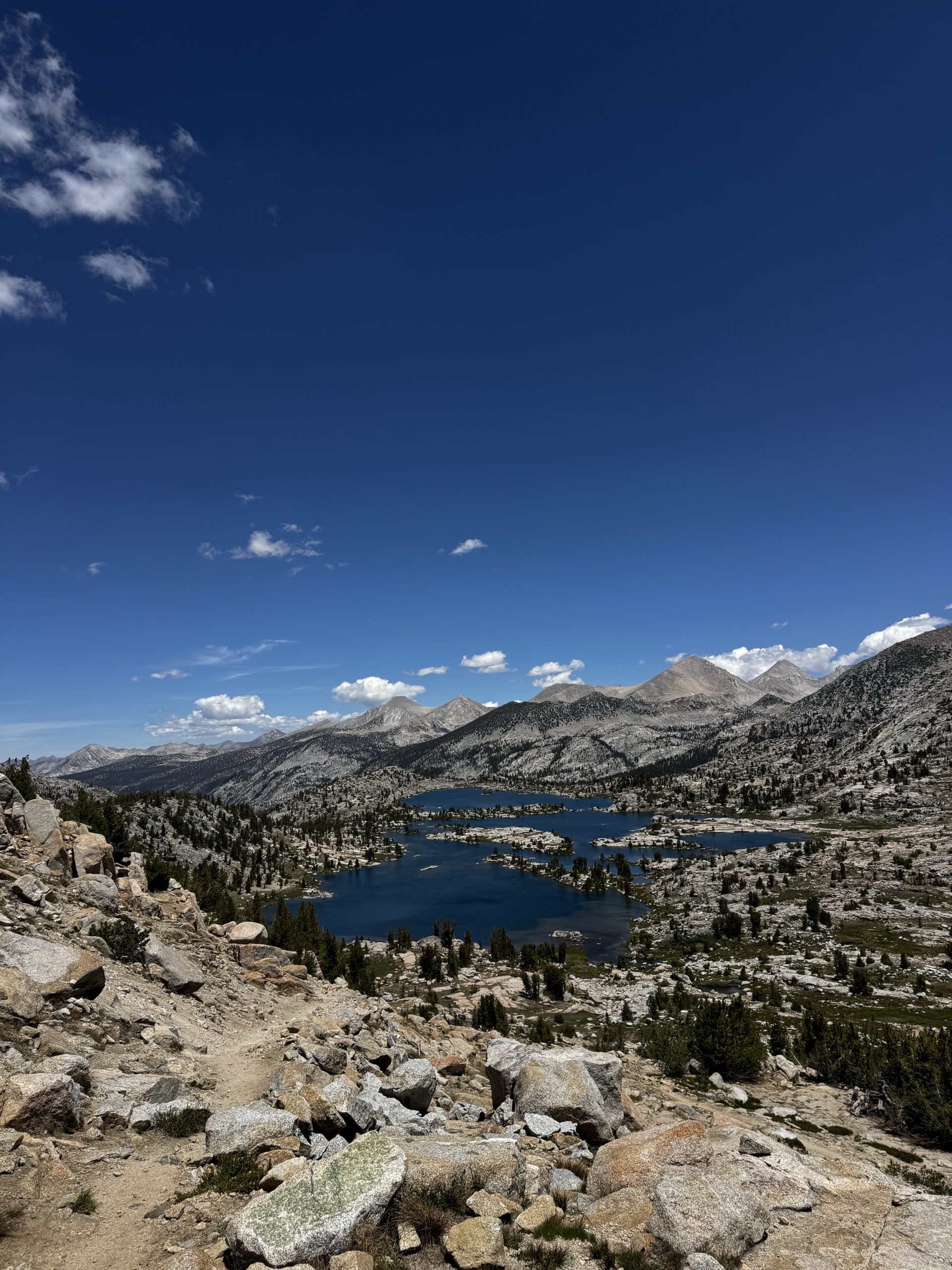
As usual, I was the last to break camp this morning. To my surprise, even the family had packed up and gone. Today’s pass, Selden, felt relatively easy. The day began with a flat section and then the ascent kicked off with some well graded switchbacks. After that the towering forest provided some welcome shade, until I arrived at Heart Lake, which was quickly followed by rocky outcrops sprinkled with pops of pink, yellow and orange flowers that contrasted perfectly with the azure sky.
From the top of the pass the differences between the lush green southern side and the rocky, sparse north side was stark. Both stunning in their own ways. I lingered there for a long while, enjoying the sun, out of the wind. Today was a little unusual, in that I didn’t come across many other hikers, either PCTers or JMTers. It was nice to have a quiet trail for a change. Every other day there’s been a relatively steady stream of hikers, and seemingly everyone wants to stop and chat for a while, which gets a little tiring. But today, I could just lock in to an audiobook and go.
Before the next climb I took a long break on a sunny rock, feeling the cumulative fatigue of walking for weeks, elevation gain and altitude. Thankfully, the climb was pretty gentle in the end, especially as the day began to cool off. At the top, it was almost chilly. The group had had plans to camp somewhere up here, but I somehow missed them and was soon beginning the descent. I hate backtracking, so simply continued down the steep switchbacks. It was definitely a no fall zone, and a couple of blowdowns and minor slips in the trail made it low key sketchy. But I survived, and arrived down amongst beech trees.
I’ve been listening to the audiobook of The Hidden Life of Trees, and just finished a chapter where the author explained that beech trees are kind of aggressive in how they supplant other species, growing close to them and shooting up rapidly to capture all the good sunlight, basically stopping the other species from photosynthesising. It was cool, if a little sad, to see this happening on trail and understand what was going on.
Towards dusk I arrived at Mono Creek, where there were plenty of flat campsites and only a handful of other hikers. I made dinner, ate quickly, and then burrowed into my tent as the night grew cool.
Day 49 – 2 July 2026: Metric Mistake
📍 Mile 902.2 | 🥾 39.16 km | ⛰️ +1,745m / -1,395m
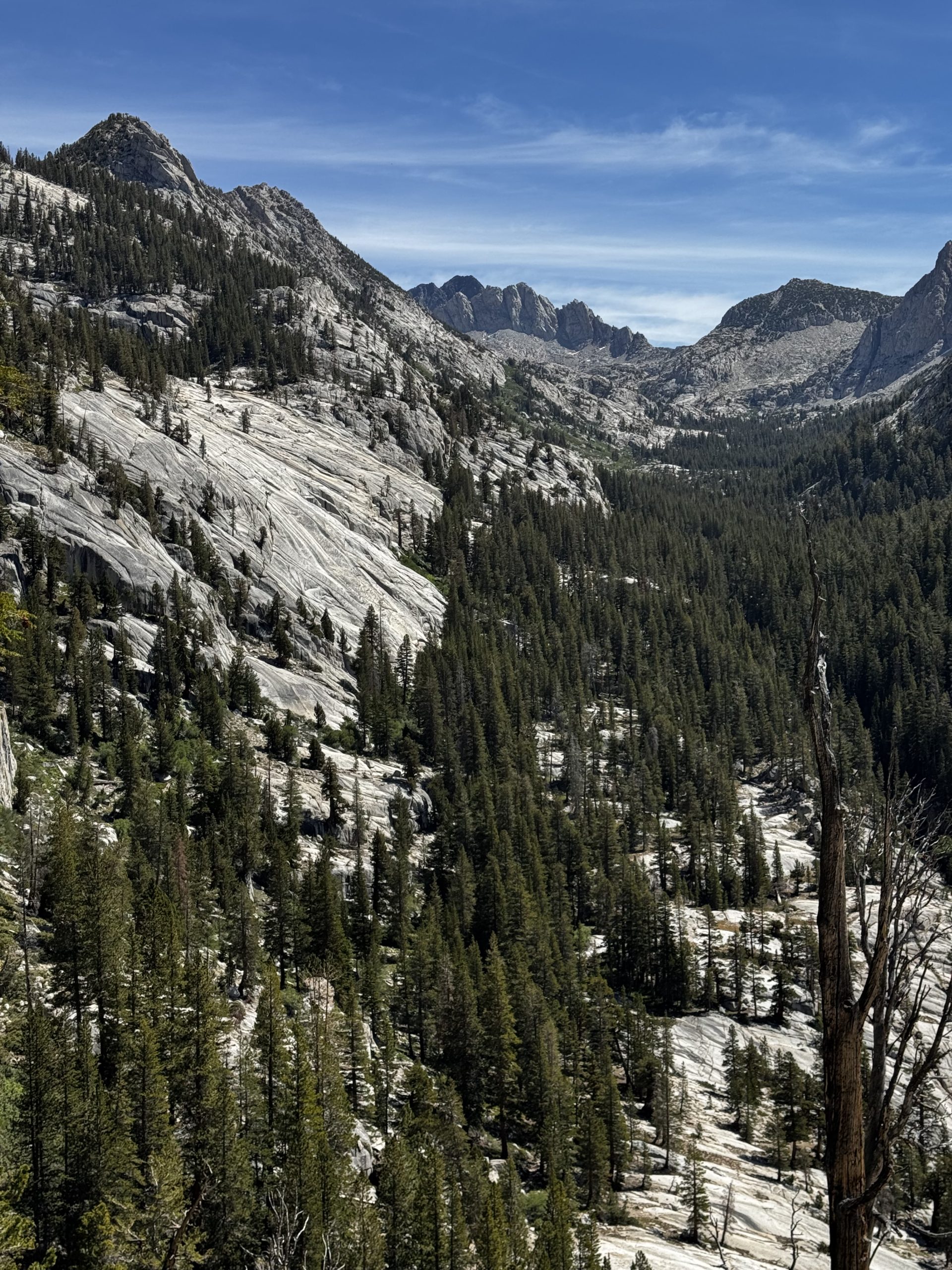
Today was one of my latest starts yet: it was almost 8.45am by the time I set off. I thought the morning’s hike would be easy, only 6km up to the top of Silver Pass. But after 6km of hiking I was still climbing and I realised my error: it was more like 6 miles. My motivation went through the floor.
Fortunately, the views made up for it. The valley, when I began to emerge from the thick forest, seemed to be made exclusively of glacier-smoothed granite. How trees still managed to grow here was a mystery.
The last part of the climb levelled out, making for easy walking. But this was misleading. The last climb to the pass was steeper, which would’ve been fine, if the pass had been the high point. It wasn’t. Instead, there was still more climbing to tackle. I was beat, and looking forward to a break. Ideally with a view. But the high point ended up being too windy for a rest, so instead I quickly began the descent, hoping to find a more protected spot.
Eventually I found a nice spot amongst some trees, overlooking a lake. I ate slowly, hoping the break and the calories would restore my energy. And when I set off again I did feel stronger, although it didn’t last for long. I got to the bottom of the descent and took a long break to gather my strength before continuing. If only I’d known that El Pres’s group had been taking a break just a few hundred feet further on! I caught up to them, as did three other hikers. We chatted for at least 20 minutes before all simultaneously beginning the next climb, apologising to the SOBOs who had to pause and wait as we passed.
I was running low on food, rationing it until I could make it into Mammoth Lakes tomorrow. I had enough to get there, but I’d be a little hungry. I’d told the group this, and at the top of the climb found them waiting for me, holding out a bag of trail mix they’d yogi-ed from some JMT hikers. I wasn’t in a position to refuse.
The group stopped early in the evening, but knowing that I was unlikely to get up as early as they would, I decided to push on so that we’d have a chance of arriving in town together tomorrow morning. As I walked past I waved goodbye, and then the next 5 miles passed pretty quickly. A cruisy forest walk, with a blazing sunset emerging through the gaps in the trees.


Leave a Reply