This post originally appeared on The Trek. Read it here!
Day 22 – 5 June 2026: Easy Does It
📍 Mile 383.9 | 🥾 23.96 km | ⛰️ +1,210 m / -1,159 m
I had a fantastic sleep in my surprise Airbnb stay and woke up feeling refreshed, restored and ready to tackle week 4 on trail. But first, a little town treat was in order. I decided to stop in at the Wrightwood Bakery, where I tried my first ever bear claw. Yum!
Then it was time to hitch out of town. I got a ride in no time, and was soon back on trail. It had been growing pretty hot down in Wrightwood, but it was definitely cooler up on the mountaintops. Still, I was grateful for the shade of the pine trees as I wound over a ridgeline, accompanied by the sound of woodpeckers. It was a nice and gentle reintroduction to the trail.
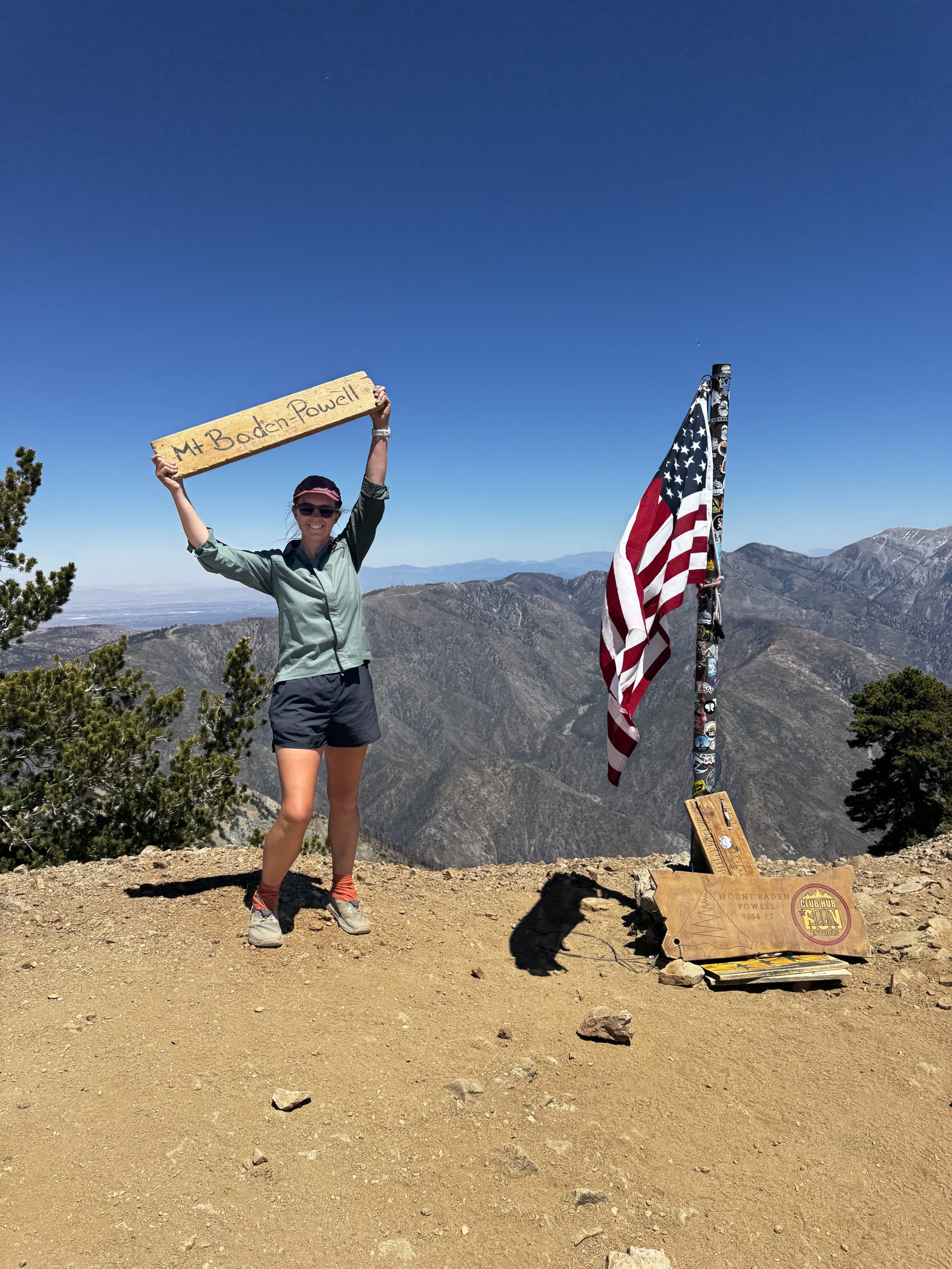
But it was over too soon: I reached the Vincent Gap car park and then the real work began. A series of switchbacks that in reality were very gentle just felt tough with a full resupply. My calves were burning. But eventually the trees started to thin and the terrain became rockier. And then I was at the summit of Mt Baden-Powell and it was all worth it. 369 degree views of the mountains, shimmering blue and purple in the midday light. I signed the summit register, headed over for a photo, and then sat in the sun for a lazy lunch of peanut butter, honey and tortillas.
I decided I would take it a bit easier this afternoon, aiming for a total of 14 miles for the whole day. So it was a fairly leisurely afternoon of walking. I had plenty of time to make it to camp before sunset, so kept my pace to a mosey as I listened to an audiobook.
Day 23 – 6 June 2026: Zom Poc
📍 Mile 406.5 | 🥾 38.54 km | ⛰️ +1,123 m / -1,764 m
I awoke to an almost completely deflated sleeping pad. It wasn’t a surprise: I’d woken up multiple times during the night. I dragged it and myself out of the tent and attempted to diagnose the pinhole using water from my water bottle. To no avail. All I managed to do was make my hands freezing cold. Fantastic start to the day.
I set off at 7am into an overcast morning. Every other day on the PCT has been bluebird, so I can’t complain. A steady climb was the first order of the day, and at the top of it I accidentally turned off into a blue blaze, only realising when I saw hikers coming back down after bagging a peak. That could easily have been a very long mistake.
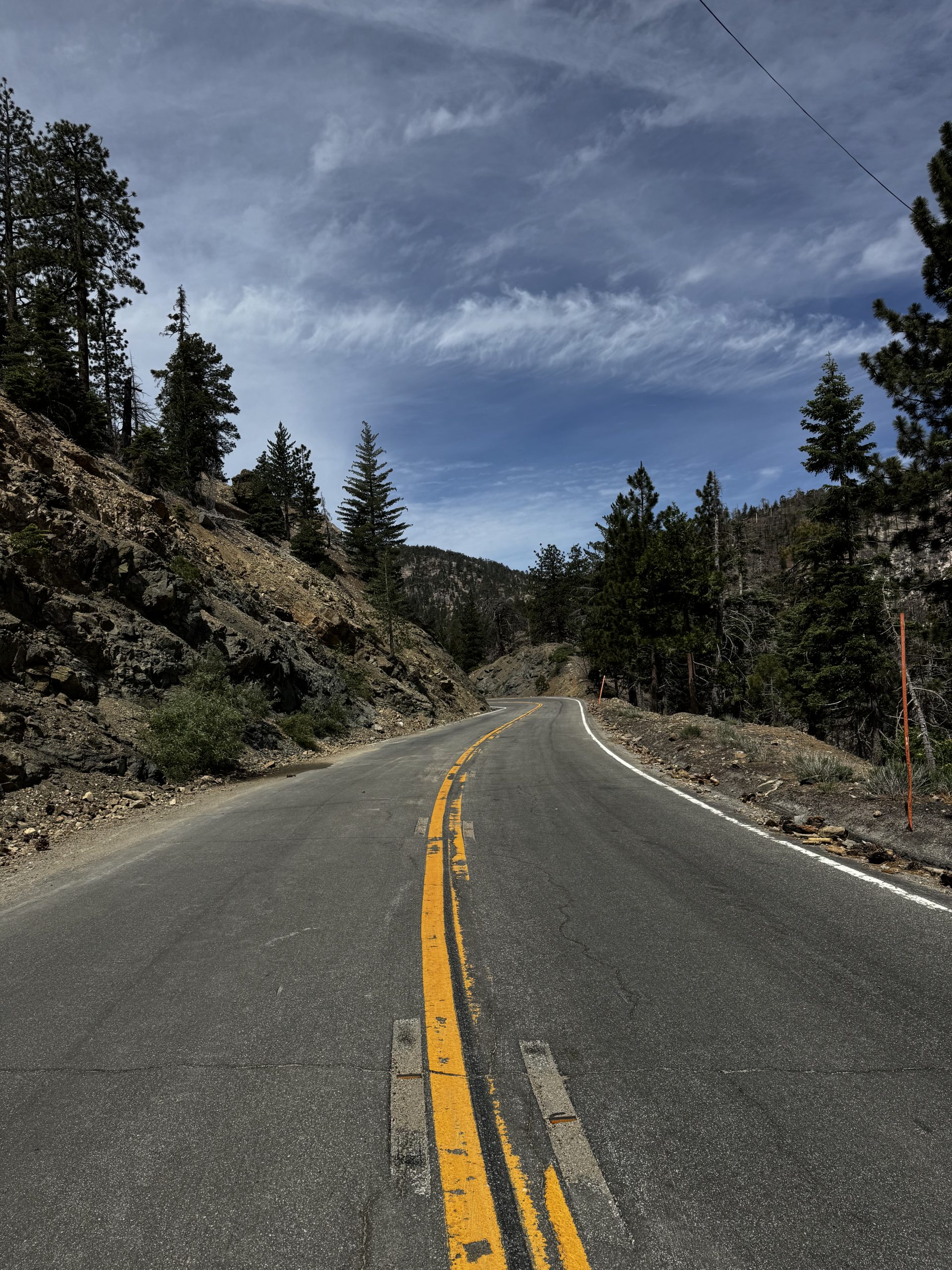
The trail cross-crossed the Angeles Crest Highway many, many times today. But luckily for me it was closed to traffic for the most part, so I think it was a more relaxing experience than usual.
The 3 mile road walk around a trail closure was definitely more chill with no cars. I walked right in the middle of the double yellow lines, and with the overcast sky and no other hikers around I felt a bit like I was in a zombie apocalypse movie. I started fantasising about my ideal zom poc team, but was jarred out of it when a cyclist rang his bell as he passed me going the other way. Not so alone after all.
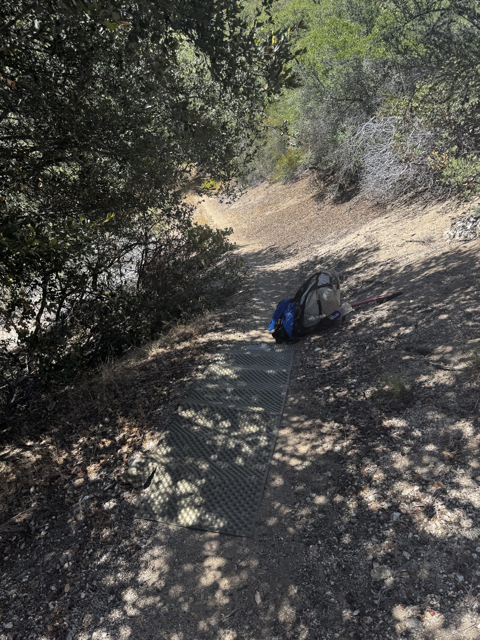
At Buckhorn Flats Campground I discovered a stream that was the perfect depth to submerge my pad and find that pinhole. Except I was once again unsuccessful. I laid it on top of my foam pad to dry as I ate lunch, annoyed. But then I heard a fizzing noise, and the pinhole revealed itself to me, just near the valve. I was very pleased with myself as I packed up and set off again.
The next section of trail was surprisingly unmaintained. It looked like a storm had maybe washed it out and/or there had been a fire. Suddenly I was back in Te Araroa level terrain, my pace dropped and every brain cell was devoted to choosing my next step. When the trail returned to its usual well-maintained state I practically flew up and over the hill, and from there it was all an easy cruise downhill. Plenty of day hikers were out, since the highway here seemed to be open, but I didn’t see any other thru hikers.
For a change, the last few miles seemed to fly by. Still, I was pretty tired when I made it to camp: a single spot just above a creek. Not too far from a more established drive-in public campground, though. When I started to hear music echoing up the valley I was grateful I hadn’t chosen to camp down there. But luckily it didn’t last long and after patching the pinhole in my pad I soon drifted to sleep.
Day 24 – 7 June 2026: Curtain Pull
📍 Mile 436.1 | 🥾 47.33 km | ⛰️ +1,352 m / -1,683 m
Disappointingly, I woke to a deflated pad once again. So diagnosing another pinhole would be a chore for later today. The first two hours of trail wound gently through the hills as my brain slowly came online. Then there was a little bit of a climb and I ended up in pine forest, which offered some very welcome shade in the warm morning.
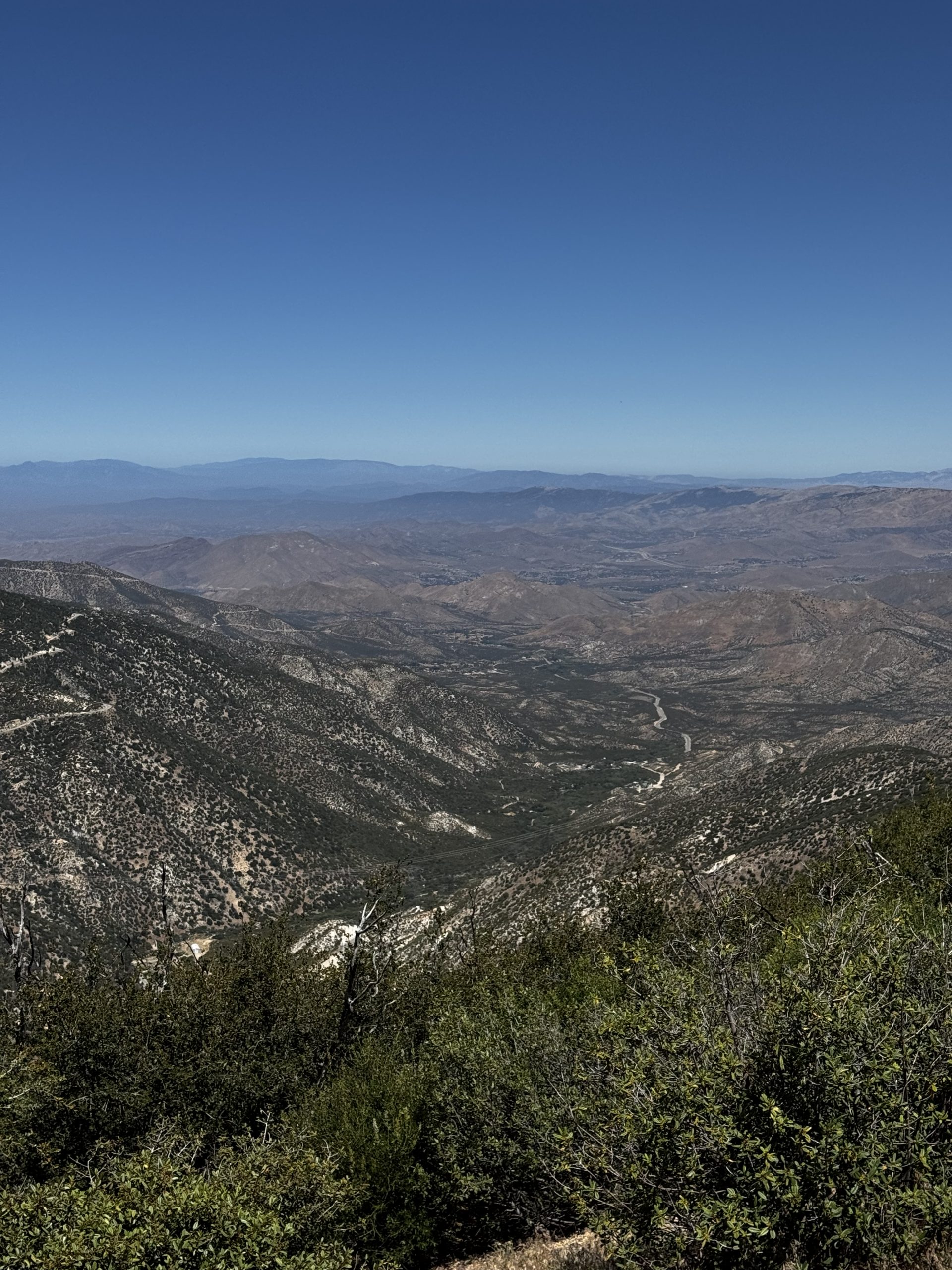
After a few hours I rounded a corner and the views opened up; it was as though a curtain had been pulled to reveal a spectacular desert vista. The way the hills changed colour was incredible: from green to orange to blue to purple to black. And all somehow washed in pink and yellow at the same time. My jaw probably remained dropped for the next two hours. I never got tired of the view.
After a quick lunch stop at the Pony Park Day Use Area I headed uphill again, but it was over sooner than I’d have thought. From there the rest of the day was cruisy, there was lots of shade and the views remained spectacular. I was feeling strong and decided to make a push: instead of my 40km goal, I’d stretch to 46km. That way, tomorrow’s hike into Agua Dulce would be shorter.
Late in the afternoon I came across a massive blowdown. My options were to try and clamber over it, or drop my pack, shove it underneath and then crawl through. I opted for the clamber. It was so big though that I had to drop my pack anyway, and when I was halfway across the temptation to just lie there for a few minutes’ rest proved too strong.
Just a few minutes later I ran into Alex again, who was once again taking a nap in the middle of the trail. We walked together for the rest of the day, which made the time pass quickly. A bit of bush bashing and some rockier than usual terrain were our final obstacles before we finally arrived at camp. There were two other hikers already there, and we all sat around a picnic table as we ate dinner and exchanged stories about the trail and other hikers before it grew chilly and we retreated to bed.
Day 25 – 8 June 2026: I 🧡 Rocks
📍 Mile 454.7 | 🥾 29.46 km | ⛰️ +794 m / -1,279 m
Thankfully my inflatable stayed inflated last night, even though I hadn’t been able to diagnose another pinhole. I was motivated to move quickly today: town was at the end of it.
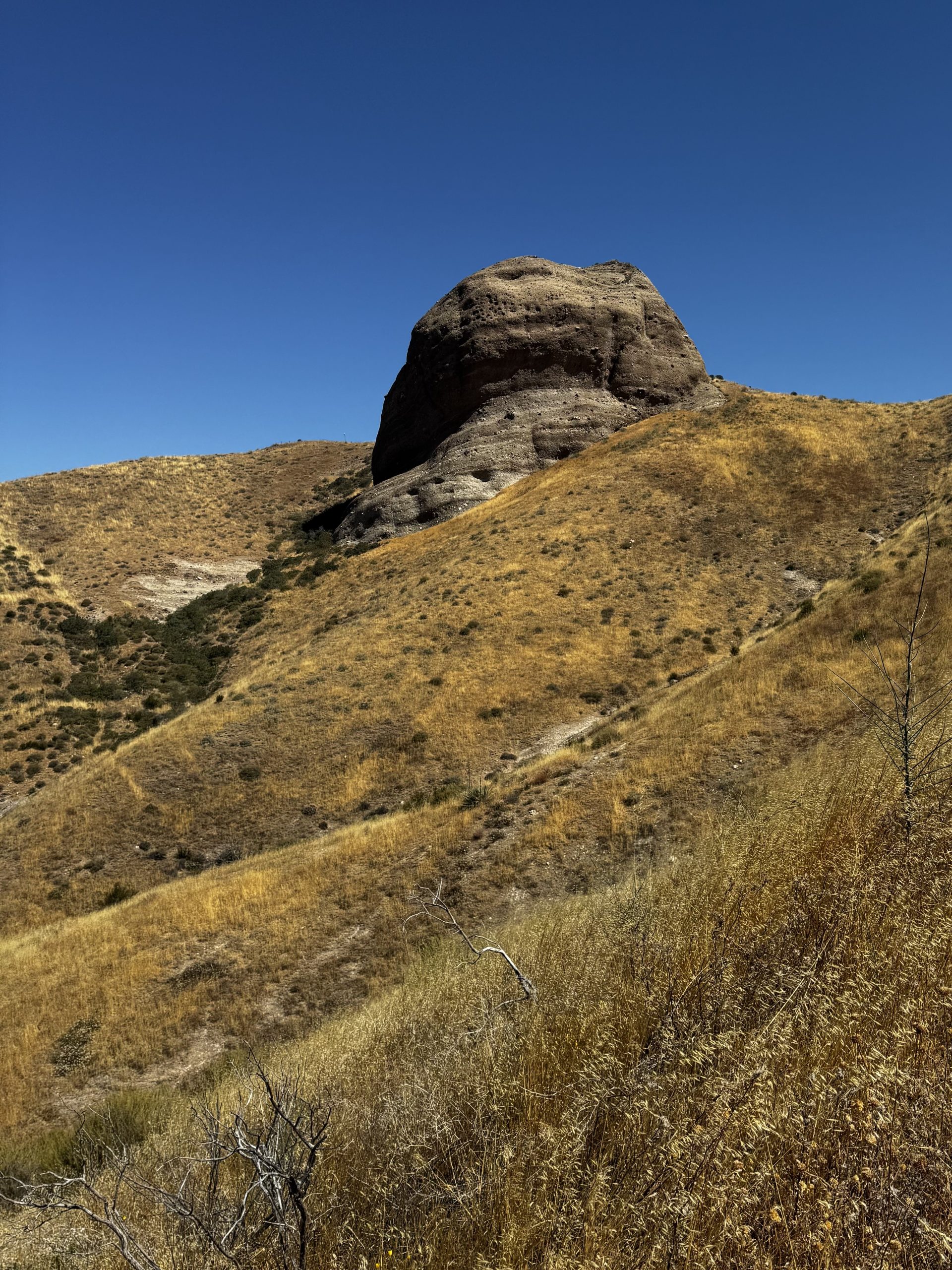
The first part of the trail flew by, the scenery much the same as yesterday’s. Then I crossed a road and a creek and was in a totally different world. Huge boulders emerged from sun bleached yellow grass in a vast meadow. Alex caught up to me but I was too entranced by the rocks and out of breath from the incline to chat much and he soon left me behind, which I was totally fine with.
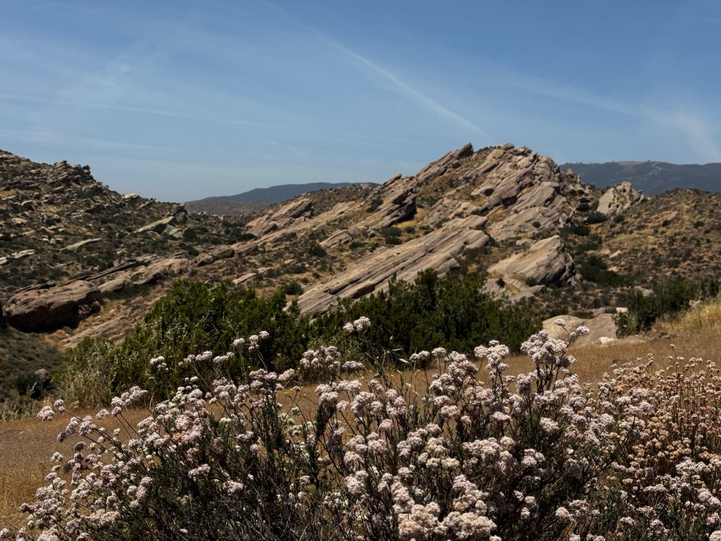
I was simultaneously happy and disappointed when the trail started going downhill again. Happy to be going down instead of up, but disappointed because I left the rocks behind. I passed through an underpass beneath the highway, disappointed when a trail magic box was only full of rubbish. But the disappointment was soon overridden by awe. I’d arrived in Vasquez Rocks Country Park and it was stunning. Spectacular rainbow rock formations captured my attention and my pace was decimated. I decided to forego the red line and just wander through the park at leisure.
I ran into Alex again and we walked the road up to Agua Dulce. At Serenity’s Oasis I jumped straight into a glorious shower, then threw on a load of laundry before collapsing into a hammock while I planned a resupply. It was so relaxing I almost fell asleep.
A few hours later I headed back into town to resupply. It was surprisingly difficult in a pretty big supermarket. It just didn’t cater to hikers: everything was only available in bulk. Or only one flavour. I tend to eat more or less the same thing every day on trail, but I do like to mix the flavours up. Still, beggars can’t be choosers.
Day 26 – 9 June 2026: Socked In
📍 Mile 462.3 | 🥾 12.37 km | ⛰️ +682 m / -102 m
Today I was in mail jail: stuck in town waiting for the post to arrive. I’d managed to lose one pair of socks and wear plenty of holes in the other, so I’d ordered some new ones that would be delivered later today. So I took a lazy morning, eventually wandering up to the Oasis office to take advantage of the free coffee. Which was so weak it did absolutely nothing to wake me up.
When I grew hungry I strolled into town, to The Rustic Mercantile, where I sat in the air conditioning and enjoyed breakfast and a much stronger coffee. But I grew too chilly indoors and eventually had to move outdoors into the shade. Much better.
Since I had plenty of time to kill and not much to do, I decided to head back to Vasquez Rocks Country Park and wander around some more. It had been empty yesterday but today was crawling with tourists. Literally. They were climbing all over the rocks, which didn’t seem to be prohibited. That surprised me a little; in Australia there’d be a good chance that the entire area would be roped off. I strolled around at leisure, and when I’d had my fill I went and checked out the visitor centre, which had been closed when I passed yesterday.
When I got an email saying my socks had been delivered I practically ran to get them. Realistically my body had probably needed the rest after more than three weeks on trail, but sitting still had made me a little stir crazy. I was ready to get going again.
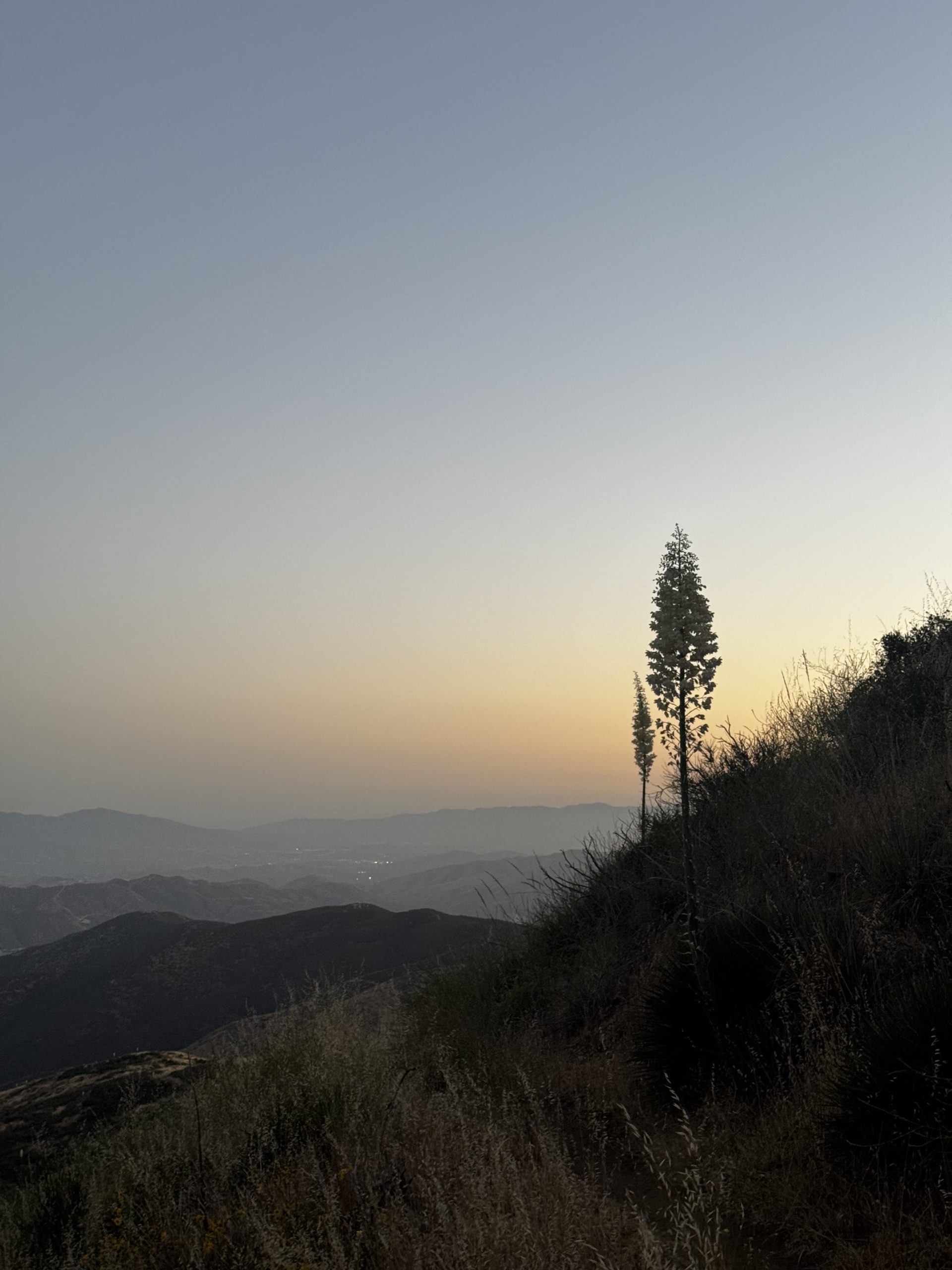
It was 6pm when I finally got back on trail. After a short road walk the ascent began, and I was very glad I hadn’t left earlier in the day. It. Was. Hot. I was immediately drenched in sweat, and it didn’t stop even as the shadows grew longer and the sun disappeared behind the hills. I made it to the top of the climb just as dusk turned to twilight, quickly set up camp, inhaled dinner and planned my strategy for The Aqueduct™ – an infamously exposed, waterless and hot stretch – which was coming up at the end of this section.
Day 27 – 10 June 2026: Crisis State
📍 Mile 485.6 | 🥾 38.64 km | ⛰️ +924 m / -1,354 m
After the heat yesterday evening I was highly motivated to break camp early. And immediately got a little lost at a crossroads but found my way thanks to FarOut. At the water source I ran into a hiker named Analog. He’s hiking without a smartphone and mentioned he got lost at the same crossroads and had had to double back to the last trail marker to find his way. He asked for a water report which I happily gave.
Then I was off, zooming downhill. There was another hiker, not Analog, hot on my heels. I was a bit annoyed, it was like being tailgated. All I could think about was when she was going to catch up to me. But eventually she seemed to fall a little behind and I could relax. Mid-morning I stopped for a snack break and she finally overtook me then.
There was a deceptive amount of elevation gain, which felt like hard work in the increasingly hot sun. There was no shade, only waist-deep scrub. I was counting down the miles to the Green Valley Fire Station, where I was planning to siesta. I hit the road and started making my way down, ready for a break. Only to run into the hiker who’d overtaken me. She told me that not only was the water off, but an aggressive guy – who we’d been warned about by other hikers – was down there. I was almost entirely out of water, I had probably 300mL left. Luckily, she had a solution: there was a cistern in 3 miles that wasn’t marked as a water source on FarOut. We set off together.
But it was 12.30pm, approaching the hottest part of the day, and the trail was all uphill. I soon fell behind her, although I felt great about that – and my speed this morning – when she divulged that she was actually in the middle of a speed record attempt. Towards the top of the climb the heat and lack of water started to really get to me. There was no shade, especially with the sun directly overhead. My trekking poles, even the cork handles, were hot to the touch. There was no reprieve. Eventually I saw a bush with a tiny patch of shade and, feeling unwell, dropped my pack and did my best to squeeze myself under it. It helped more than I’d thought it would. Just this morning I’d been thinking about how I hadn’t really needed the legionnaire attachment for my cap; but now I was beyond grateful to have carried it all this way as I dug it out. It helped a lot, too. Just not having the sun beating down directly on your skin makes a huge difference.
I resumed the trail slowly, trying not to over exert myself. I arrived at the cistern and struggled my way up the hill towards it. I dunked my Cnoc bladder straight in and filtered a litre as fast as I could, and promptly downed it. Then I filtered the rest of the water I wanted for siesta and the next stretch of trail.
To my dismay, there was nowhere shady nearby for a break. There was a tiny gap in the scrub where I tried to rest but it proved too hot. So instead I committed to continuing the hike through the hottest part of the day. It was brutal. I didn’t feel good at all. Luckily after two miles or so I came to a section of trail that was shaded by trees. I pulled an Alex and lay down right in the middle of trail.
But the bugs wouldn’t let me rest. They weren’t biting, just buzzing and landing on me. I got up and committed to finishing the miles to the next water source; a creek which the FarOut comments said was a good siesta spot. That almost certainly meant shade.
That last part of the trail almost did me in. Again, no shade, and it wound gently downhill along the hillsides offering tantalising views of the valley below which would then disappear as the trail dipped in to the hillside before sending me back out. It took an age. When I finally arrived at the creek I beelined for the first tree I saw, yanked out my foam pad, and collapsed face down. It was 4pm and I was absolutely wiped.
Day 28 – 11 June 2026: Lizard Water
📍 Mile 510.9 | 🥾 41.17 km | ⛰️ +1,369 m / -1,098 m
For once I found it almost too easy to get out of bed. After yesterday’s struggle with the heat and lack of water I was determined to get as much trail covered before siesta as possible. I made quick work of the climb up from the creek and then the rest of the morning felt easy, gently undulating over a hilltop with a lovely view of the desert.
Then I arrived in an old burn area, although it seemed to be recovering. There was plenty of Poodle Dog Bush – a plant that gives a similar reaction to poison oak or poison ivy, and is feared by hikers – around, but luckily it was easily avoided.
By mid-morning it was getting hot. Fortunately the trail became well shaded. But the downside of the shade was that it seemed to bring out all the bugs. The worst ones were the gnats; they somehow hover directly in front of your nose and mouth, making it impossible to breathe or even walk without accidentally inhaling or snorting one. Swatting them away with my hand almost guaranteed that I was going to pull a shoulder muscle so I instead started waving my trekking poles in front of my face like windscreen wipers, which proved effective.
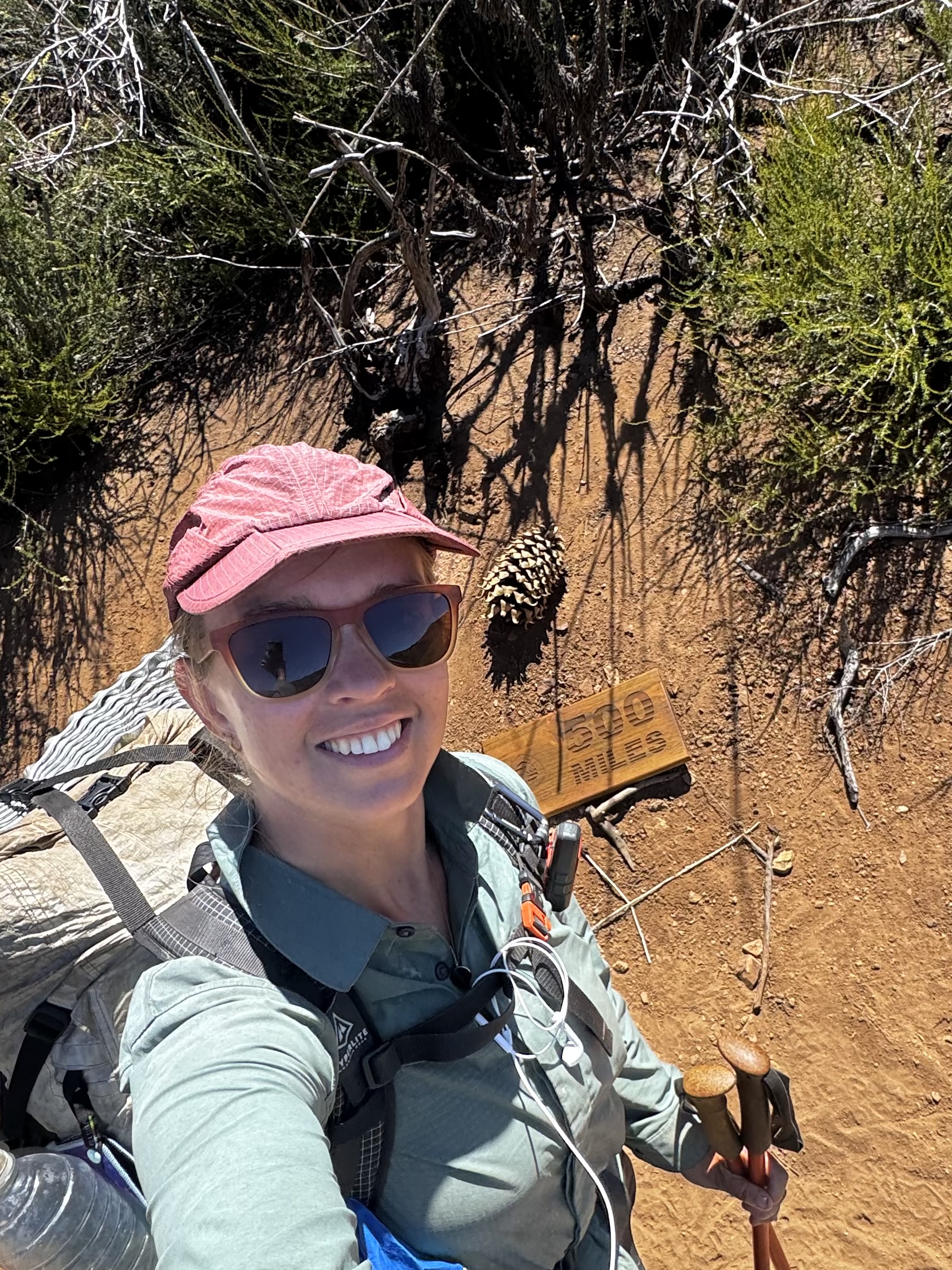
When the trail turned a corner and the wind came into play the bugs disappeared and I ran into Cheerio, who’d been taking a break. We set off together, passing the 500 mile mark. Obviously, the song was sung. Not long afterwards though my energy started to fade and at the next flat, shaded spot I stopped for siesta. The bugs were back in force so I ended up pitching my tent to escape them. And then I treated myself to a four hour siesta to make up for yesterday’s nightmare.
The trail, when I resumed it at 4pm, remained gentle. It was a much pleasanter walk than yesterday, it didn’t feel like such a battle. I arrived at a guzzler, my next water source. Only to find a dead lizard floating on top. But I was out of water so had no choice but to collect it anyway. Thank god for filters.
Shady meadows of tall trees and long grass ultimately gave way to some more scrubby switchbacks on the descent down towards Hikertown. Hikertown doesn’t have a great reputation, but it is a good base camp pre-The Aqueduct. I decided to camp just a few miles out from it tonight, and head in tomorrow, when I could more easily hitch away if it did turn out to be dodgy. As the shadows began to cover the hillsides I arrived at the last water source before Hikertown and claimed the first campsite I spotted.


Leave a Reply